Property Record
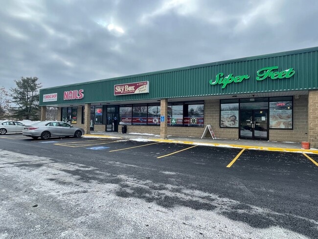
553 Main St, Reading, MA 01867


NEARBY LISTINGS FOR SALE OR LEASE
Property Detail
553 Main St
READ-000017-000000-000180
Middlesex
Storebuilding
Massachusetts
X
80
25017C0313F
0.37 AC
2025
Lowell/Chelmsford
2025
Boston
315100
Boston-Cambridge-Newton, MA-NH
7,935 SF
DEMOGRAPHICS near 553 Main St
1 Mile
3 Mile
5 Mile
2024 Total Population
4,020
57,998
190,631
2029 Population
3,986
57,251
187,888
Pop Growth 2024-2029
(0.85%)
(1.29%)
(1.44%)
Average Age
44
41
40
2024 Total Households
1,526
21,708
68,682
HH Growth 2024-2029
(0.85%)
(1.39%)
(1.48%)
Median Household Inc
$111,548
$97,593
$89,629
Avg Household Size
2.50
2.60
2.60
2024 Avg HH Vehicles
2.00
2.00
2.00
Median Home Value
$601,617
$456,444
$455,074
Median Year Built
1984
1971
1964
Nearby Places
Map Layers
Map Styles
 Street
 Aerial
- Restaurants
- Banks
- Shops
- Fitness
- Groceries
PUBLIC TRANSPORTATION
TRANSIT/SUBWAY
Reading (Haverhill Line - Massachusetts Bay Transportation Authority Commuter Rail (Purple Line))
DRIVE
WALK
Distance
Reading (Haverhill Line - Massachusetts Bay Transportation Authority Commuter Rail (Purple Line))
2 min
10 min
0.5 mi
COMMUTER RAIL
Reading (Haverhill Line - Massachusetts Bay Transportation Authority Commuter Rail (Purple Line))
DRIVE
WALK
Distance
Reading (Haverhill Line - Massachusetts Bay Transportation Authority Commuter Rail (Purple Line))
1 min
10 min
0.3 mi
Wakefield (Haverhill Line - Massachusetts Bay Transportation Authority Commuter Rail (Purple Line))
DRIVE
WALK
Distance
Wakefield (Haverhill Line - Massachusetts Bay Transportation Authority Commuter Rail (Purple Line))
5 min
2.9 mi
AIRPORT
General Edward Lawrence Logan International
DRIVE
WALK
Distance
General Edward Lawrence Logan International
26 min
15.2 mi
Manchester Boston Regional
DRIVE
WALK
Distance
Manchester Boston Regional
57 min
39.2 mi
SALE & LEASE HISTORY
LISTING DATE
SALE/LEASE

Sep 01, 2022
For Sale
Sep 01, 2022
For Sale
Oct 18, 2018
For Sale
Mar 08, 2022
For Sale
Jul 31, 2023
For Lease
Feb 23, 2022
For Sale
Apr 21, 2021
For Lease
Apr 19, 2018
For Lease
Apr 19, 2018
For Lease
Apr 03, 2019
For Lease
Nearby Properties
Address
Land Use
TOTAL SIZE
Lot Size
Zoning
Address
Land Use
TOTAL SIZE
Lot Size
Zoning
42.20 AC
S-2
Address
Land Use
TOTAL SIZE
Lot Size
Zoning
476,332 SF
5.37 AC
Address
Land Use
TOTAL SIZE
Lot Size
Zoning
411,956 SF
23.94 AC
S20
Address
Land Use
TOTAL SIZE
Lot Size
Zoning
213,401 SF
15.16 AC
B
Address
Land Use
TOTAL SIZE
Lot Size
Zoning
720 SF
632 AC
SA8
Address
Land Use
TOTAL SIZE
Lot Size
Zoning
31.56 AC
HB
Address
Land Use
TOTAL SIZE
Lot Size
Zoning
9.01 AC
S-I
Address
Land Use
TOTAL SIZE
Lot Size
Zoning
341,593 SF
3.38 AC
I-P2
Address
Land Use
TOTAL SIZE
Lot Size
Zoning
129,028 SF
7.17 AC
I-P2
Address
Land Use
TOTAL SIZE
Lot Size
Zoning
153,906 SF
4 AC
S15
Address
Land Use
TOTAL SIZE
Lot Size
Zoning
27.90 AC
I-P2
Address
Land Use
TOTAL SIZE
Lot Size
Zoning
172,056 SF
I
Address
Land Use
TOTAL SIZE
Lot Size
Zoning
17.65 AC
B-I
Address
Land Use
TOTAL SIZE
Lot Size
Zoning
10.73 AC
I-P2
Address
Land Use
TOTAL SIZE
Lot Size
Zoning
5.63 AC
C
Address
Land Use
TOTAL SIZE
Lot Size
Zoning
8.17 AC
RB
Address
Land Use
TOTAL SIZE
Lot Size
Zoning
6.28 AC
RB
Address
Land Use
TOTAL SIZE
Lot Size
Zoning
216,337 SF
7.19 AC
S20
Address
Land Use
TOTAL SIZE
Lot Size
Zoning
141,968 SF
11.28 AC
R20
Address
Land Use
TOTAL SIZE
Lot Size
Zoning
9 AC
C/R
Address
Land Use
TOTAL SIZE
Lot Size
Zoning
6.77 AC
I-P2
Address
Land Use
TOTAL SIZE
Lot Size
Zoning
14,760 SF
1 AC
SR
Address
Land Use
TOTAL SIZE
Lot Size
Zoning
481,812 SF
25.97 AC
I-P2
Address
Land Use
TOTAL SIZE
Lot Size
Zoning
155,686 SF
2.88 AC
I
Address
Land Use
TOTAL SIZE
Lot Size
Zoning
5.91 AC
I-P2
Address
Land Use
TOTAL SIZE
Lot Size
Zoning
175,682 SF
20.80 AC
IB
Address
Land Use
TOTAL SIZE
Lot Size
Zoning
1,142 SF
38.68 AC
OS
Address
Land Use
TOTAL SIZE
Lot Size
Zoning
262,220 SF
11.79 AC
Address
Land Use
TOTAL SIZE
Lot Size
Zoning
5.09 AC
R-1
Address
Land Use
TOTAL SIZE
Lot Size
Zoning
329,496 SF
16.16 AC
G-B
The World's #1 Commercial Real Estate Marketplace
Connect with us
© 2026 CoStar Group
The information above has been obtained from sources believed reliable. While we do not doubt its accuracy we have not verified it and make no guarantee, warranty or representation about it. It is your responsibility to independently confirm its accuracy and completeness. Any projections, opinions, assumptions, or estimates used are for example only and do not represent the current or future performance of the property. The value of this transaction to you depends on tax and other factors which should be evaluated by your tax, financial, and legal advisors. You and your advisors should conduct a careful, independent investigation of the property to determine to your satisfaction the suitability of the property for your needs.