Property Record
5540 W 120Th Ave, Broomfield, CO 80020
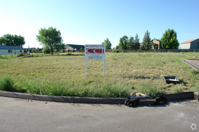


Property Detail
5540 W 120Th Ave
1717-01-1-17-002
SUBD: CAR WASH EXPRESS FILING NO 1 REPLAT A LOT: 1
Miscellaneous
BROOMFIELD
B-2
Colorado
B and X Area of moderate flood hazard, usually the area between the limits of the 100-year and 500-year floods.
1
2024
0.85 AC
2025
Broomfield County
030200
Denver
7,800 SF
Denver-Aurora-Centennial, CO
NEARBY LISTINGS FOR SALE OR LEASE
DEMOGRAPHICS near 5540 W 120Th Ave
1 mile
3 mile
5 mile
2025 Total Population
13,510
95,036
256,103
2030 Population
13,776
97,680
262,692
Pop Growth 2025-2030
+ 1.97%
+ 2.78%
+ 2.57%
Average Age
40
40
39
2025 Total Households
5,065
37,635
101,176
HH Growth 2025-2030
+ 2.27%
+ 3.03%
+ 2.85%
Median Household Inc
$114,635
$115,790
$99,628
Avg Household Size
2.60
2.50
2.50
2025 Avg HH Vehicles
2.00
2.00
2.00
Median Home Value
$636,478
$677,278
$567,608
Median Year Built
1994
1993
1990
Nearby Places
Map Layers
Map Styles
 Street
 Aerial
Transit
 Traffic
 Biking
Places
Listings with unknown addresses are not visible on the map
- Restaurants
- Banks
- Shops
- Fitness
- Groceries
PUBLIC TRANSPORTATION
AIRPORT
Denver International
Drive
Walk
Distance
Denver International
42 min
33.2 mi
Freight Ports
Port of Shreveport
Drive
Walk
Distance
Port of Shreveport
1 min
823.2 mi
Nearby Properties
Address
Land Use
TOTAL SIZE
Lot Size
Zoning
Address
Land Use
TOTAL SIZE
Lot Size
Zoning
431,902 SF
17.63 AC
Address
Land Use
TOTAL SIZE
Lot Size
Zoning
1,031,000 SF
31.98 AC
Address
Land Use
TOTAL SIZE
Lot Size
Zoning
117,775 SF
34.58 AC
GA; PUD
Address
Land Use
TOTAL SIZE
Lot Size
Zoning
539,891 SF
30.35 AC
Address
Land Use
TOTAL SIZE
Lot Size
Zoning
209,009 SF
22.30 AC
Address
Land Use
TOTAL SIZE
Lot Size
Zoning
251,374 SF
20.95 AC
B-1
Address
Land Use
TOTAL SIZE
Lot Size
Zoning
1,440 SF
41.30 AC
Address
Land Use
TOTAL SIZE
Lot Size
Zoning
174,398 SF
33.34 AC
PF; PROL;
Address
Land Use
TOTAL SIZE
Lot Size
Zoning
187,920 SF
10.57 AC
PUD
Address
Land Use
TOTAL SIZE
Lot Size
Zoning
159,724 SF
8.11 AC
Address
Land Use
TOTAL SIZE
Lot Size
Zoning
577,088 SF
18.94 AC
PUD
Address
Land Use
TOTAL SIZE
Lot Size
Zoning
250,701 SF
14.14 AC
Address
Land Use
TOTAL SIZE
Lot Size
Zoning
528,256 SF
3.87 AC
PUD
Address
Land Use
TOTAL SIZE
Lot Size
Zoning
121,639 SF
25.99 AC
Address
Land Use
TOTAL SIZE
Lot Size
Zoning
34,584 SF
13.70 AC
PUD
Address
Land Use
TOTAL SIZE
Lot Size
Zoning
78,008 SF
5.01 AC
PUD
Address
Land Use
TOTAL SIZE
Lot Size
Zoning
203,755 SF
39.65 AC
R-1
Address
Land Use
TOTAL SIZE
Lot Size
Zoning
127,434 SF
7.53 AC
Address
Land Use
TOTAL SIZE
Lot Size
Zoning
141,741 SF
5.58 AC
Address
Land Use
TOTAL SIZE
Lot Size
Zoning
419,774 SF
11.38 AC
PUD
Address
Land Use
TOTAL SIZE
Lot Size
Zoning
315,637 SF
8.56 AC
Address
Land Use
TOTAL SIZE
Lot Size
Zoning
155,081 SF
7.42 AC
Address
Land Use
TOTAL SIZE
Lot Size
Zoning
138.19 AC
A
Address
Land Use
TOTAL SIZE
Lot Size
Zoning
142,681 SF
7.99 AC
B-1; GA
Address
Land Use
TOTAL SIZE
Lot Size
Zoning
297,172 SF
24.11 AC
Address
Land Use
TOTAL SIZE
Lot Size
Zoning
147,443 SF
21.06 AC
Address
Land Use
TOTAL SIZE
Lot Size
Zoning
275,421 SF
7.79 AC
Address
Land Use
TOTAL SIZE
Lot Size
Zoning
118,750 SF
7.04 AC
PUD
Address
Land Use
TOTAL SIZE
Lot Size
Zoning
390,308 SF
12.35 AC
PUD
Address
Land Use
TOTAL SIZE
Lot Size
Zoning
307,396 SF
6.68 AC
PUD
The World's #1 Commercial Real Estate Marketplace
Connect with us
© 2026 CoStar Group
The information above has been obtained from sources believed reliable. While we do not doubt its accuracy we have not verified it and make no guarantee, warranty or representation about it. It is your responsibility to independently confirm its accuracy and completeness. Any projections, opinions, assumptions, or estimates used are for example only and do not represent the current or future performance of the property. The value of this transaction to you depends on tax and other factors which should be evaluated by your tax, financial, and legal advisors. You and your advisors should conduct a careful, independent investigation of the property to determine to your satisfaction the suitability of the property for your needs.