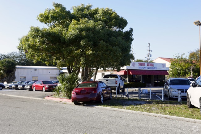
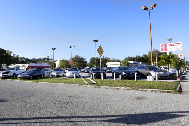
Property Record
555 34Th St S, Saint Petersburg, FL 33711

NEARBY LISTINGS FOR SALE OR LEASE
Property Detail
555 34Th St S
Tampa-St. Petersburg-Clearwater, FL
Scarritts Replat & Add
22-31-16-78845-001-0010
SCARRITTS REPLAT & ADD BLK 1, LOTS 1 & 2
Vehiclerentalsvehiclesales
Pinellas
X
Florida
12103C0218G
1,2
2024
3.75 AC
2025
South Pinellas
022000
Tampa/St Petersburg
53,031 SF
DEMOGRAPHICS near 555 34Th St S
1 Mile
3 Mile
5 Mile
2024 Total Population
13,911
124,318
273,503
2029 Population
13,954
124,932
275,439
Pop Growth 2024-2029
+ 0.31%
+ 0.49%
+ 0.71%
Average Age
39
43
45
2024 Total Households
5,711
57,096
127,085
HH Growth 2024-2029
+ 0.09%
+ 0.35%
+ 0.69%
Median Household Inc
$59,853
$60,005
$63,208
Avg Household Size
2.30
2.00
2.00
2024 Avg HH Vehicles
1.00
2.00
2.00
Median Home Value
$241,962
$274,200
$293,337
Median Year Built
1955
1959
1966
Nearby Places
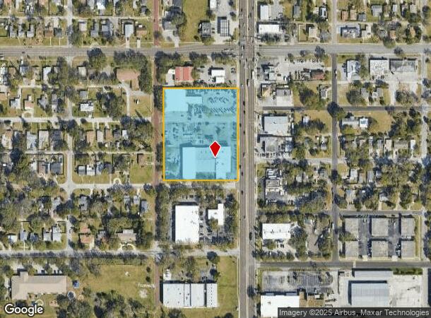
Map Layers
Map Styles
 Street
 Aerial
- Restaurants
- Banks
- Shops
- Fitness
- Groceries
PUBLIC TRANSPORTATION
AIRPORT
St Pete-Clearwater International
DRIVE
WALK
Distance
St Pete-Clearwater International
26 min
13.5 mi
Tampa International
DRIVE
WALK
Distance
Tampa International
33 min
22.2 mi
Sarasota/Bradenton International
DRIVE
WALK
Distance
Sarasota/Bradenton International
46 min
30.7 mi
Freight Ports
Port Manatee
DRIVE
WALK
Distance
Port Manatee
32 min
23.2 mi
Nearby Properties
Address
Land Use
TOTAL SIZE
Lot Size
Zoning
Address
Land Use
TOTAL SIZE
Lot Size
Zoning
725,000 SF
6.05 AC
Address
Land Use
TOTAL SIZE
Lot Size
Zoning
221,003 SF
1.39 AC
Address
Land Use
TOTAL SIZE
Lot Size
Zoning
662,311 SF
2.89 AC
Address
Land Use
TOTAL SIZE
Lot Size
Zoning
655,966 SF
1.25 AC
Address
Land Use
TOTAL SIZE
Lot Size
Zoning
687,948 SF
2.86 AC
Address
Land Use
TOTAL SIZE
Lot Size
Zoning
690,001 SF
2.28 AC
Address
Land Use
TOTAL SIZE
Lot Size
Zoning
1,100,000 SF
57.70 AC
Address
Land Use
TOTAL SIZE
Lot Size
Zoning
287,275 SF
6.29 AC
Address
Land Use
TOTAL SIZE
Lot Size
Zoning
807,604 SF
9.61 AC
Address
Land Use
TOTAL SIZE
Lot Size
Zoning
593,859 SF
2.04 AC
Address
Land Use
TOTAL SIZE
Lot Size
Zoning
593,733 SF
4.35 AC
Address
Land Use
TOTAL SIZE
Lot Size
Zoning
478,217 SF
9.84 AC
Address
Land Use
TOTAL SIZE
Lot Size
Zoning
596,429 SF
8.07 AC
Address
Land Use
TOTAL SIZE
Lot Size
Zoning
474,605 SF
1.84 AC
Address
Land Use
TOTAL SIZE
Lot Size
Zoning
547,258 SF
3.24 AC
Address
Land Use
TOTAL SIZE
Lot Size
Zoning
443,983 SF
0.88 AC
Address
Land Use
TOTAL SIZE
Lot Size
Zoning
231,140 SF
5.10 AC
Address
Land Use
TOTAL SIZE
Lot Size
Zoning
386,795 SF
10.98 AC
Address
Land Use
TOTAL SIZE
Lot Size
Zoning
402,572 SF
10.02 AC
Address
Land Use
TOTAL SIZE
Lot Size
Zoning
242,915 SF
2.20 AC
Address
Land Use
TOTAL SIZE
Lot Size
Zoning
348,400 SF
1.89 AC
Address
Land Use
TOTAL SIZE
Lot Size
Zoning
366,959 SF
2.02 AC
Address
Land Use
TOTAL SIZE
Lot Size
Zoning
512,449 SF
6.01 AC
Address
Land Use
TOTAL SIZE
Lot Size
Zoning
457,983 SF
3.86 AC
Address
Land Use
TOTAL SIZE
Lot Size
Zoning
431,739 SF
3.29 AC
Address
Land Use
TOTAL SIZE
Lot Size
Zoning
393,952 SF
Address
Land Use
TOTAL SIZE
Lot Size
Zoning
341,472 SF
29.42 AC
Address
Land Use
TOTAL SIZE
Lot Size
Zoning
330,467 SF
1.88 AC
Address
Land Use
TOTAL SIZE
Lot Size
Zoning
7,227 SF
10.78 AC
Address
Land Use
TOTAL SIZE
Lot Size
Zoning
339,332 SF
1.37 AC
The World's #1 Commercial Real Estate Marketplace
Connect with us
© 2025 CoStar Group
The information above has been obtained from sources believed reliable. While we do not doubt its accuracy we have not verified it and make no guarantee, warranty or representation about it. It is your responsibility to independently confirm its accuracy and completeness. Any projections, opinions, assumptions, or estimates used are for example only and do not represent the current or future performance of the property. The value of this transaction to you depends on tax and other factors which should be evaluated by your tax, financial, and legal advisors. You and your advisors should conduct a careful, independent investigation of the property to determine to your satisfaction the suitability of the property for your needs.