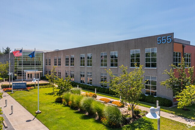
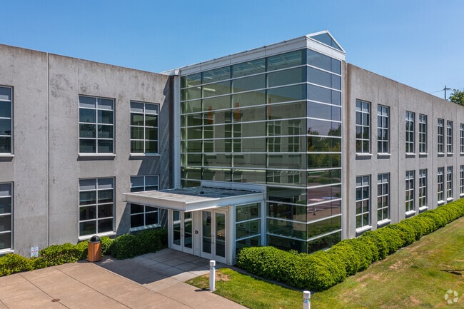
Property Record
555 Address Unknown Way, Springfield, OR 97477
Current Lease Availabilities
Property Detail
555 Address Unknown Way
Eugene-Springfield, OR
TL 00600
1518727
LANE
Multipleuses
Oregon
CI
600
AE The base floodplain where base flood elevations are provided. AE Zones are now used on new format FIRMs instead of A1-A30 Zones.
14.80 AC
2025
Lane County
2025
Portland
002101
NEARBY LISTINGS FOR SALE OR LEASE
DEMOGRAPHICS near 555 Address Unknown Way
1 mile
3 mile
5 mile
2025 Total Population
5,223
64,551
156,316
2030 Population
5,138
63,897
155,561
Pop Growth 2025-2030
(1.63%)
(1.01%)
(0.48%)
Average Age
40
41
39
2025 Total Households
2,256
27,846
66,310
HH Growth 2025-2030
(1.73%)
(1.06%)
(0.60%)
Median Household Inc
$66,199
$73,809
$63,253
Avg Household Size
2.20
2.30
2.20
2025 Avg HH Vehicles
2.00
2.00
2.00
Median Home Value
$406,989
$455,335
$457,176
Median Year Built
1976
1978
1975
Nearby Places
Map Layers
Map Styles
 Street
 Aerial
Layers
 Traffic
 Biking
Places
Listings with unknown addresses are not visible on the map
- Restaurants
- Banks
- Shops
- Fitness
- Groceries
PUBLIC TRANSPORTATION
COMMUTER RAIL
Eugene (Amtrak Cascades - Amtrak, Coast Starlight - Amtrak)
Drive
Walk
Distance
Eugene (Amtrak Cascades - Amtrak, Coast Starlight - Amtrak)
10 min
5.2 mi
AIRPORT
Mahlon Sweet Field
Drive
Walk
Distance
Mahlon Sweet Field
20 min
10.8 mi
Freight Ports
Port of Coos Bay, OR
Drive
Walk
Distance
Port of Coos Bay, OR
159 min
114.3 mi
Nearby Properties
Address
Land Use
TOTAL SIZE
Lot Size
Zoning
Address
Land Use
TOTAL SIZE
Lot Size
Zoning
71.87 AC
PL
Address
Land Use
TOTAL SIZE
Lot Size
Zoning
9.57 AC
LD
Address
Land Use
TOTAL SIZE
Lot Size
Zoning
16.80 AC
PL
Address
Land Use
TOTAL SIZE
Lot Size
Zoning
14.39 AC
E-1
Address
Land Use
TOTAL SIZE
Lot Size
Zoning
9.59 AC
R-1
Address
Land Use
TOTAL SIZE
Lot Size
Zoning
14.54 AC
C-2
Address
Land Use
TOTAL SIZE
Lot Size
Zoning
Address
Land Use
TOTAL SIZE
Lot Size
Zoning
17.37 AC
AG
Address
Land Use
TOTAL SIZE
Lot Size
Zoning
15.95 AC
Address
Land Use
TOTAL SIZE
Lot Size
Zoning
13.55 AC
CI
Address
Land Use
TOTAL SIZE
Lot Size
Zoning
11.23 AC
Address
Land Use
TOTAL SIZE
Lot Size
Zoning
4.31 AC
C-2
Address
Land Use
TOTAL SIZE
Lot Size
Zoning
Address
Land Use
TOTAL SIZE
Lot Size
Zoning
8.69 AC
R-1
Address
Land Use
TOTAL SIZE
Lot Size
Zoning
14.09 AC
CI
Address
Land Use
TOTAL SIZE
Lot Size
Zoning
28.66 AC
LMI
Address
Land Use
TOTAL SIZE
Lot Size
Zoning
11.77 AC
R-3
Address
Land Use
TOTAL SIZE
Lot Size
Zoning
31.28 AC
R-1
Address
Land Use
TOTAL SIZE
Lot Size
Zoning
7.27 AC
PL
Address
Land Use
TOTAL SIZE
Lot Size
Zoning
12.37 AC
R-1
Address
Land Use
TOTAL SIZE
Lot Size
Zoning
12.58 AC
R-4
Address
Land Use
TOTAL SIZE
Lot Size
Zoning
Address
Land Use
TOTAL SIZE
Lot Size
Zoning
16.42 AC
CC
Address
Land Use
TOTAL SIZE
Lot Size
Zoning
21.88 AC
PL
Address
Land Use
TOTAL SIZE
Lot Size
Zoning
15.15 AC
LD
Address
Land Use
TOTAL SIZE
Lot Size
Zoning
10.38 AC
E-1
Address
Land Use
TOTAL SIZE
Lot Size
Zoning
17.43 AC
LMI
Address
Land Use
TOTAL SIZE
Lot Size
Zoning
7.05 AC
E30
Address
Land Use
TOTAL SIZE
Lot Size
Zoning
13.82 AC
CI
The World's #1 Commercial Real Estate Marketplace
Connect with us
© 2026 CoStar Group
The information above has been obtained from sources believed reliable. While we do not doubt its accuracy we have not verified it and make no guarantee, warranty or representation about it. It is your responsibility to independently confirm its accuracy and completeness. Any projections, opinions, assumptions, or estimates used are for example only and do not represent the current or future performance of the property. The value of this transaction to you depends on tax and other factors which should be evaluated by your tax, financial, and legal advisors. You and your advisors should conduct a careful, independent investigation of the property to determine to your satisfaction the suitability of the property for your needs.