Property Record
555 Cypress Ave, Redding, CA 96001
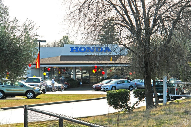

Property Detail
555 Cypress Ave
102-470-018-000
Shasta
Vehiclerentalsvehiclesales
California
B and X Area of moderate flood hazard, usually the area between the limits of the 100-year and 500-year floods.
11.34 AC
2024
Redding/Chico
2025
Other Market Areas
010400
Redding, CA
65,920 SF
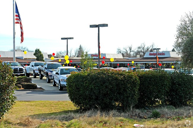
NEARBY LISTINGS FOR SALE OR LEASE
DEMOGRAPHICS near 555 Cypress Ave
1 mile
3 mile
5 mile
2025 Total Population
8,180
67,085
103,073
2030 Population
8,244
67,414
103,608
Pop Growth 2025-2030
+ 0.78%
+ 0.49%
+ 0.52%
Average Age
42
40
41
2025 Total Households
3,613
27,471
41,309
HH Growth 2025-2030
+ 0.75%
+ 0.48%
+ 0.52%
Median Household Inc
$59,112
$71,295
$76,748
Avg Household Size
2.10
2.30
2.40
2025 Avg HH Vehicles
2.00
2.00
2.00
Median Home Value
$312,171
$369,066
$380,026
Median Year Built
1969
1980
1982
Nearby Places
Map Layers
Map Styles
 Street
 Aerial
Layers
 Traffic
 Biking
Places
Listings with unknown addresses are not visible on the map
- Restaurants
- Banks
- Shops
- Fitness
- Groceries
PUBLIC TRANSPORTATION
COMMUTER RAIL
Drive
Walk
Distance
5 min
1.5 mi
AIRPORT
Redding Regional
Drive
Walk
Distance
Redding Regional
14 min
8.3 mi
Nearby Properties
Address
Land Use
TOTAL SIZE
Lot Size
Zoning
Address
Land Use
TOTAL SIZE
Lot Size
Zoning
15.20 AC
Address
Land Use
TOTAL SIZE
Lot Size
Zoning
2.60 AC
Address
Land Use
TOTAL SIZE
Lot Size
Zoning
151,773 SF
17.64 AC
Address
Land Use
TOTAL SIZE
Lot Size
Zoning
71,579 SF
4.37 AC
Address
Land Use
TOTAL SIZE
Lot Size
Zoning
72,875 SF
3.93 AC
Address
Land Use
TOTAL SIZE
Lot Size
Zoning
31,365 SF
1.33 AC
Address
Land Use
TOTAL SIZE
Lot Size
Zoning
8.22 AC
Address
Land Use
TOTAL SIZE
Lot Size
Zoning
223,579 SF
19.65 AC
Address
Land Use
TOTAL SIZE
Lot Size
Zoning
Address
Land Use
TOTAL SIZE
Lot Size
Zoning
89,098 SF
7.24 AC
Address
Land Use
TOTAL SIZE
Lot Size
Zoning
54,720 SF
2.53 AC
Address
Land Use
TOTAL SIZE
Lot Size
Zoning
21,089 SF
7 AC
Address
Land Use
TOTAL SIZE
Lot Size
Zoning
47,062 SF
4.80 AC
Address
Land Use
TOTAL SIZE
Lot Size
Zoning
143,164 SF
13.90 AC
Address
Land Use
TOTAL SIZE
Lot Size
Zoning
108,208 SF
7.96 AC
Address
Land Use
TOTAL SIZE
Lot Size
Zoning
19,572 SF
5.94 AC
Address
Land Use
TOTAL SIZE
Lot Size
Zoning
81,800 SF
14.81 AC
Address
Land Use
TOTAL SIZE
Lot Size
Zoning
5.44 AC
Address
Land Use
TOTAL SIZE
Lot Size
Zoning
50,251 SF
4.06 AC
Address
Land Use
TOTAL SIZE
Lot Size
Zoning
61,754 SF
1.73 AC
Address
Land Use
TOTAL SIZE
Lot Size
Zoning
92,699 SF
5.91 AC
Address
Land Use
TOTAL SIZE
Lot Size
Zoning
10.27 AC
Address
Land Use
TOTAL SIZE
Lot Size
Zoning
1,500 SF
69.70 AC
Address
Land Use
TOTAL SIZE
Lot Size
Zoning
104,740 SF
23.54 AC
Address
Land Use
TOTAL SIZE
Lot Size
Zoning
11.90 AC
Address
Land Use
TOTAL SIZE
Lot Size
Zoning
95,645 SF
9.55 AC
Address
Land Use
TOTAL SIZE
Lot Size
Zoning
134,868 SF
0.57 AC
Address
Land Use
TOTAL SIZE
Lot Size
Zoning
2.42 AC
Address
Land Use
TOTAL SIZE
Lot Size
Zoning
2,821 SF
136.53 AC
Address
Land Use
TOTAL SIZE
Lot Size
Zoning
101,683 SF
8.48 AC
The World's #1 Commercial Real Estate Marketplace
Connect with us
© 2026 CoStar Group
The information above has been obtained from sources believed reliable. While we do not doubt its accuracy we have not verified it and make no guarantee, warranty or representation about it. It is your responsibility to independently confirm its accuracy and completeness. Any projections, opinions, assumptions, or estimates used are for example only and do not represent the current or future performance of the property. The value of this transaction to you depends on tax and other factors which should be evaluated by your tax, financial, and legal advisors. You and your advisors should conduct a careful, independent investigation of the property to determine to your satisfaction the suitability of the property for your needs.