Property Record
5551 S Uone Eleven Hwy, Magna, UT 84044

NEARBY LISTINGS FOR SALE OR LEASE
Property Detail
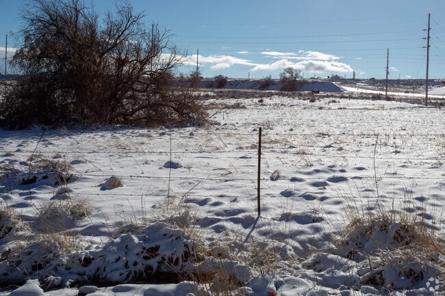
5551 S Uone Eleven Hwy
Salt Lake City, UT
Radius Curve
20-16-200-015-0000
BEG S 89^4527 E 1344.375 FT & S 2^1310 W 686.16 FT FR N 1/4 COR SEC 16, T 2S, R 2W, S L M; S 2^1310 W 243.2 FT; N 76^3210 W 1008.95 FT; N 12^0153 E 25 FT; NWLY 310.46 FTALG A 3625 FT RADIUS CURVE TO L; N 82^5232 W 155.46 FT; N 39^3658 W 219.03 FT; S
Industrialacreage
Salt Lake
X
Utah
49035C0275G
13.77 AC
0
West Murray
2025
Salt Lake City
113904
DEMOGRAPHICS near 5551 S Uone Eleven Hwy
1 Mile
3 Mile
5 Mile
2024 Total Population
52
50,958
203,843
2029 Population
52
51,304
206,444
Pop Growth 2024-2029
0.00%
+ 0.68%
+ 1.28%
Average Age
30
33
34
2024 Total Households
13
13,073
56,636
HH Growth 2024-2029
0.00%
+ 0.56%
+ 1.18%
Median Household Inc
$137,500
$93,180
$84,636
Avg Household Size
3.90
3.80
3.50
2024 Avg HH Vehicles
3.00
3.00
2.00
Median Home Value
$607,143
$354,791
$357,403
Median Year Built
2010
1993
1990
Nearby Places
Map Layers
Map Styles
 Street
 Aerial
- Restaurants
- Banks
- Shops
- Fitness
- Groceries
PUBLIC TRANSPORTATION
AIRPORT
Salt Lake City International
DRIVE
WALK
Distance
Salt Lake City International
19 min
13.4 mi
Freight Ports
Port of Stockton
DRIVE
WALK
Distance
Port of Stockton
707 min
690.2 mi
Nearby Properties
Address
Land Use
TOTAL SIZE
Lot Size
Zoning
Address
Land Use
TOTAL SIZE
Lot Size
Zoning
1,113,459 SF
80.09 AC
M
Address
Land Use
TOTAL SIZE
Lot Size
Zoning
613,674 SF
1,309.05 AC
M
Address
Land Use
TOTAL SIZE
Lot Size
Zoning
479,807 SF
13.13 AC
P-C
Address
Land Use
TOTAL SIZE
Lot Size
Zoning
186,337 SF
20 AC
1107
Address
Land Use
TOTAL SIZE
Lot Size
Zoning
297,972 SF
45.67 AC
M
Address
Land Use
TOTAL SIZE
Lot Size
Zoning
856,805 SF
782.87 AC
A-20
Address
Land Use
TOTAL SIZE
Lot Size
Zoning
350,675 SF
36.41 AC
M
Address
Land Use
TOTAL SIZE
Lot Size
Zoning
342.97 AC
M
Address
Land Use
TOTAL SIZE
Lot Size
Zoning
95,998 SF
9.46 AC
1107
Address
Land Use
TOTAL SIZE
Lot Size
Zoning
391,140 SF
17.41 AC
M
Address
Land Use
TOTAL SIZE
Lot Size
Zoning
211,058 SF
21.71 AC
C-2
Address
Land Use
TOTAL SIZE
Lot Size
Zoning
338,399 SF
355 AC
M
Address
Land Use
TOTAL SIZE
Lot Size
Zoning
86.14 AC
4192
Address
Land Use
TOTAL SIZE
Lot Size
Zoning
124,619 SF
60.10 AC
M
Address
Land Use
TOTAL SIZE
Lot Size
Zoning
211.48 AC
M
Address
Land Use
TOTAL SIZE
Lot Size
Zoning
18.17 AC
RM
Address
Land Use
TOTAL SIZE
Lot Size
Zoning
173.65 AC
M
Address
Land Use
TOTAL SIZE
Lot Size
Zoning
168.51 AC
A-20
Address
Land Use
TOTAL SIZE
Lot Size
Zoning
132,800 SF
9.31 AC
OL
Address
Land Use
TOTAL SIZE
Lot Size
Zoning
34,715 SF
16.87 AC
M
Address
Land Use
TOTAL SIZE
Lot Size
Zoning
36.22 AC
M
Address
Land Use
TOTAL SIZE
Lot Size
Zoning
160 AC
A-20
Address
Land Use
TOTAL SIZE
Lot Size
Zoning
67,468 SF
11.48 AC
4192
Address
Land Use
TOTAL SIZE
Lot Size
Zoning
86,850 SF
3.90 AC
C-2
Address
Land Use
TOTAL SIZE
Lot Size
Zoning
173,828 SF
14.36 AC
M
Address
Land Use
TOTAL SIZE
Lot Size
Zoning
288,371 SF
10 AC
M-1
Address
Land Use
TOTAL SIZE
Lot Size
Zoning
93.02 AC
4192
Address
Land Use
TOTAL SIZE
Lot Size
Zoning
63,069 SF
7.64 AC
1108
Address
Land Use
TOTAL SIZE
Lot Size
Zoning
61,457 SF
10.69 AC
1107
Address
Land Use
TOTAL SIZE
Lot Size
Zoning
56.61 AC
M
The World's #1 Commercial Real Estate Marketplace
Connect with us
© 2025 CoStar Group
The information above has been obtained from sources believed reliable. While we do not doubt its accuracy we have not verified it and make no guarantee, warranty or representation about it. It is your responsibility to independently confirm its accuracy and completeness. Any projections, opinions, assumptions, or estimates used are for example only and do not represent the current or future performance of the property. The value of this transaction to you depends on tax and other factors which should be evaluated by your tax, financial, and legal advisors. You and your advisors should conduct a careful, independent investigation of the property to determine to your satisfaction the suitability of the property for your needs.