Property Record
5555 20Th St, Vero Beach, FL 32966


NEARBY LISTINGS FOR SALE OR LEASE
Property Detail
5555 20Th St
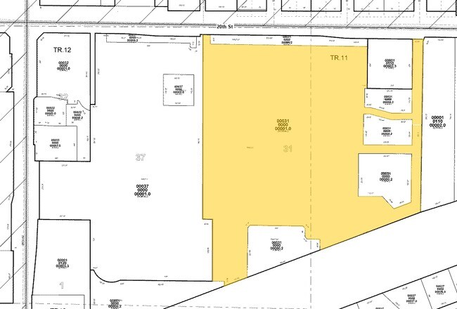
33-39-04-00031-0000-00001.0
Wal-Mart At Vero Beach, Replat
Storesoffices
WAL-MART AT VERO BEACH REPLAT PBI 15-5 TRACT C; LESS THAT DESC POR FOR 58TH AVE RD R/W AS IN OR BK 2282 PG 524; LESS SAMS CLUB PD AT VERO BEACH PBI 24-41 TRACTS 1 & 2
AE
Indian River
12061C0239H
Florida
2025
17.76 AC
2025
Fort Pierce/Port St Lucie
050202
Other Market Areas
206,738 SF
Sebastian-Vero Beach-West Vero Corridor, FL
DEMOGRAPHICS near 5555 20Th St
1 Mile
3 Mile
5 Mile
2024 Total Population
4,709
40,674
91,314
2029 Population
5,217
45,168
102,101
Pop Growth 2024-2029
+ 10.79%
+ 11.05%
+ 11.81%
Average Age
47
49
49
2024 Total Households
1,988
18,028
41,290
HH Growth 2024-2029
+ 10.31%
+ 10.65%
+ 11.57%
Median Household Inc
$59,430
$58,853
$55,985
Avg Household Size
2.30
2.10
2.10
2024 Avg HH Vehicles
2.00
2.00
2.00
Median Home Value
$292,856
$255,353
$254,727
Median Year Built
1991
1986
1989
Nearby Places
Map Layers
Map Styles
 Street
 Aerial
- Restaurants
- Banks
- Shops
- Fitness
- Groceries
SALE & LEASE HISTORY
LISTING DATE
SALE/LEASE

Aug 14, 2018
For Lease
Nearby Properties
Address
Land Use
TOTAL SIZE
Lot Size
Zoning
Address
Land Use
TOTAL SIZE
Lot Size
Zoning
302,878 SF
40 AC
INST
Address
Land Use
TOTAL SIZE
Lot Size
Zoning
223,614 SF
38.25 AC
RM-8
Address
Land Use
TOTAL SIZE
Lot Size
Zoning
39,873 SF
7.61 AC
GU
Address
Land Use
TOTAL SIZE
Lot Size
Zoning
2,133 SF
772.04 AC
ALI-A1
Address
Land Use
TOTAL SIZE
Lot Size
Zoning
46,567 SF
19.61 AC
CG
Address
Land Use
TOTAL SIZE
Lot Size
Zoning
204,103 SF
33.89 AC
RM-8
Address
Land Use
TOTAL SIZE
Lot Size
Zoning
27.70 AC
RS-6
Address
Land Use
TOTAL SIZE
Lot Size
Zoning
6,532 SF
21.92 AC
RM-6
Address
Land Use
TOTAL SIZE
Lot Size
Zoning
1,944 SF
21.99 AC
RM-8
Address
Land Use
TOTAL SIZE
Lot Size
Zoning
204,713 SF
10.56 AC
PDMXD
Address
Land Use
TOTAL SIZE
Lot Size
Zoning
12,192 SF
40 AC
RS-6
Address
Land Use
TOTAL SIZE
Lot Size
Zoning
125,677 SF
2.17 AC
DTW
Address
Land Use
TOTAL SIZE
Lot Size
Zoning
49,513 SF
60.64 AC
ALI-MC
Address
Land Use
TOTAL SIZE
Lot Size
Zoning
408,898 SF
78.81 AC
CG
Address
Land Use
TOTAL SIZE
Lot Size
Zoning
241,529 SF
29.18 AC
RM-8
Address
Land Use
TOTAL SIZE
Lot Size
Zoning
106,904 SF
79.05 AC
M
Address
Land Use
TOTAL SIZE
Lot Size
Zoning
83,300 SF
84.34 AC
A-1
Address
Land Use
TOTAL SIZE
Lot Size
Zoning
153,530 SF
17.40 AC
CG
Address
Land Use
TOTAL SIZE
Lot Size
Zoning
298,394 SF
14 AC
RM-6
Address
Land Use
TOTAL SIZE
Lot Size
Zoning
351 SF
11.09 AC
CG
Address
Land Use
TOTAL SIZE
Lot Size
Zoning
81,567 SF
35.55 AC
A-1
Address
Land Use
TOTAL SIZE
Lot Size
Zoning
180,092 SF
14.66 AC
RM-8
Address
Land Use
TOTAL SIZE
Lot Size
Zoning
102,808 SF
12.51 AC
CG
Address
Land Use
TOTAL SIZE
Lot Size
Zoning
91,904 SF
10 AC
CG
Address
Land Use
TOTAL SIZE
Lot Size
Zoning
5,268 SF
4.62 AC
R-1
Address
Land Use
TOTAL SIZE
Lot Size
Zoning
178,300 SF
5.69 AC
PDTND
Address
Land Use
TOTAL SIZE
Lot Size
Zoning
3,540 SF
217.55 AC
ALI-A2
Address
Land Use
TOTAL SIZE
Lot Size
Zoning
132,186 SF
14.66 AC
CG
Address
Land Use
TOTAL SIZE
Lot Size
Zoning
181,621 SF
28.49 AC
RM-6
The World's #1 Commercial Real Estate Marketplace
Connect with us
© 2026 CoStar Group
The information above has been obtained from sources believed reliable. While we do not doubt its accuracy we have not verified it and make no guarantee, warranty or representation about it. It is your responsibility to independently confirm its accuracy and completeness. Any projections, opinions, assumptions, or estimates used are for example only and do not represent the current or future performance of the property. The value of this transaction to you depends on tax and other factors which should be evaluated by your tax, financial, and legal advisors. You and your advisors should conduct a careful, independent investigation of the property to determine to your satisfaction the suitability of the property for your needs.