Property Record
5555 Dry Fork Rd, Cleves, OH 45002


Property Detail
5555 Dry Fork Rd
Cincinnati, OH-KY-IN
DRY FORK RD 168.74 X 270.77 IR LOT 2 D & J COMMERCIAL PARK SUB BLK A
630-0180-0046
Hamilton
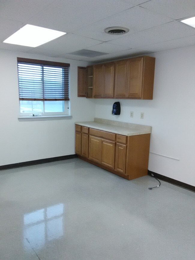
Lightindustrial
Ohio
B and X Area of moderate flood hazard, usually the area between the limits of the 100-year and 500-year floods.
2
2025
1.05 AC
2025
West
026102
Cincinnati/Dayton
22,465 SF
NEARBY LISTINGS FOR SALE OR LEASE
-
-
View all Cleves listings for lease on LoopNet.com
DEMOGRAPHICS near 5555 Dry Fork Rd
1 mile
3 mile
5 mile
2025 Total Population
287
8,381
42,665
2030 Population
285
8,520
42,986
Pop Growth 2025-2030
(0.70%)
+ 1.66%
+ 0.75%
Average Age
46
41
41
2025 Total Households
126
3,115
16,191
HH Growth 2025-2030
(0.79%)
+ 1.64%
+ 0.69%
Median Household Inc
$68,499
$66,309
$93,481
Avg Household Size
2.20
2.60
2.60
2025 Avg HH Vehicles
2.00
2.00
2.00
Median Home Value
$232,558
$232,468
$267,563
Median Year Built
1988
1989
1989
Nearby Places
Map Layers
Map Styles
 Street
 Aerial
Layers
 Traffic
 Biking
Places
Listings with unknown addresses are not visible on the map
- Restaurants
- Banks
- Shops
- Fitness
- Groceries
PUBLIC TRANSPORTATION
AIRPORT
Cincinnati/Northern Kentucky International
Drive
Walk
Distance
Cincinnati/Northern Kentucky International
36 min
22.9 mi
SALE & LEASE HISTORY
LISTING DATE
SALE/LEASE

Sep 25, 2016
For Lease
Sep 24, 2016
For Sale
Jan 09, 2017
For Lease
Nearby Properties
Address
Land Use
TOTAL SIZE
Lot Size
Zoning
Address
Land Use
TOTAL SIZE
Lot Size
Zoning
42.35 AC
Address
Land Use
TOTAL SIZE
Lot Size
Zoning
35.80 AC
Address
Land Use
TOTAL SIZE
Lot Size
Zoning
57.20 AC
Address
Land Use
TOTAL SIZE
Lot Size
Zoning
20.52 AC
Address
Land Use
TOTAL SIZE
Lot Size
Zoning
10.33 AC
FPUDSPI
Address
Land Use
TOTAL SIZE
Lot Size
Zoning
2,167 SF
87.81 AC
GSPISC
Address
Land Use
TOTAL SIZE
Lot Size
Zoning
1,966 SF
74.07 AC
Address
Land Use
TOTAL SIZE
Lot Size
Zoning
10.49 AC
FPUDSPI
Address
Land Use
TOTAL SIZE
Lot Size
Zoning
Address
Land Use
TOTAL SIZE
Lot Size
Zoning
18,825 SF
575.17 AC
Address
Land Use
TOTAL SIZE
Lot Size
Zoning
10.52 AC
Address
Land Use
TOTAL SIZE
Lot Size
Zoning
26,900 SF
15.31 AC
Address
Land Use
TOTAL SIZE
Lot Size
Zoning
5.19 AC
FPUDSPI
Address
Land Use
TOTAL SIZE
Lot Size
Zoning
Address
Land Use
TOTAL SIZE
Lot Size
Zoning
282.17 AC
H
Address
Land Use
TOTAL SIZE
Lot Size
Zoning
72,541 SF
6.01 AC
Address
Land Use
TOTAL SIZE
Lot Size
Zoning
45.41 AC
Address
Land Use
TOTAL SIZE
Lot Size
Zoning
Address
Land Use
TOTAL SIZE
Lot Size
Zoning
52.39 AC
Address
Land Use
TOTAL SIZE
Lot Size
Zoning
4,679 SF
1.95 AC
Address
Land Use
TOTAL SIZE
Lot Size
Zoning
16.30 AC
Address
Land Use
TOTAL SIZE
Lot Size
Zoning
1.40 AC
Address
Land Use
TOTAL SIZE
Lot Size
Zoning
Address
Land Use
TOTAL SIZE
Lot Size
Zoning
Address
Land Use
TOTAL SIZE
Lot Size
Zoning
30.78 AC
Address
Land Use
TOTAL SIZE
Lot Size
Zoning
3.13 AC
FPUDSPI
Address
Land Use
TOTAL SIZE
Lot Size
Zoning
45.70 AC
Address
Land Use
TOTAL SIZE
Lot Size
Zoning
50,600 SF
4.78 AC
Address
Land Use
TOTAL SIZE
Lot Size
Zoning
Address
Land Use
TOTAL SIZE
Lot Size
Zoning
5,292 SF
6.65 AC
The World's #1 Commercial Real Estate Marketplace
Connect with us
© 2026 CoStar Group
The information above has been obtained from sources believed reliable. While we do not doubt its accuracy we have not verified it and make no guarantee, warranty or representation about it. It is your responsibility to independently confirm its accuracy and completeness. Any projections, opinions, assumptions, or estimates used are for example only and do not represent the current or future performance of the property. The value of this transaction to you depends on tax and other factors which should be evaluated by your tax, financial, and legal advisors. You and your advisors should conduct a careful, independent investigation of the property to determine to your satisfaction the suitability of the property for your needs.