Property Record
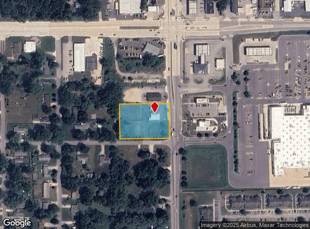
55585 Ash Rd, Osceola, IN 46561


NEARBY LISTINGS FOR SALE OR LEASE
Property Detail
55585 Ash Rd
South Bend-Mishawaka, IN-MI
Holycross Add
71-10-04-428-011.000-031
LOT 2-3 HOLYCROSS ADD 22/23 CON W/069507 PER OWNERS REQ
Storebuilding
St Joseph
X
Indiana
18141C0241E
2-3
0
1.32 AC
2024
Outlying St Joseph County
011603
South Bend/Mishawaka
4,336 SF
DEMOGRAPHICS near 55585 Ash Rd
1 Mile
3 Mile
5 Mile
2024 Total Population
3,604
31,185
79,152
2029 Population
3,569
30,953
78,837
Pop Growth 2024-2029
(0.97%)
(0.74%)
(0.40%)
Average Age
39
39
39
2024 Total Households
1,313
11,347
29,328
HH Growth 2024-2029
(0.99%)
(0.83%)
(0.39%)
Median Household Inc
$70,855
$72,434
$62,542
Avg Household Size
2.70
2.70
2.60
2024 Avg HH Vehicles
2.00
2.00
2.00
Median Home Value
$171,097
$179,999
$173,514
Median Year Built
1977
1978
1973
Nearby Places
Map Layers
Map Styles
 Street
 Aerial
- Restaurants
- Banks
- Shops
- Fitness
- Groceries
PUBLIC TRANSPORTATION
COMMUTER RAIL
DRIVE
WALK
Distance
9 min
5.1 mi
AIRPORT
South Bend International
DRIVE
WALK
Distance
South Bend International
39 min
16.1 mi
Nearby Properties
Address
Land Use
TOTAL SIZE
Lot Size
Zoning
Address
Land Use
TOTAL SIZE
Lot Size
Zoning
2,584,820 SF
32.18 AC
Address
Land Use
TOTAL SIZE
Lot Size
Zoning
300,000 SF
68.80 AC
ZO01
Address
Land Use
TOTAL SIZE
Lot Size
Zoning
377,169 SF
23.85 AC
ZO01
Address
Land Use
TOTAL SIZE
Lot Size
Zoning
184,212 SF
23.71 AC
ZO01
Address
Land Use
TOTAL SIZE
Lot Size
Zoning
36,851 SF
22.72 AC
Address
Land Use
TOTAL SIZE
Lot Size
Zoning
83,856 SF
54.56 AC
ZO01
Address
Land Use
TOTAL SIZE
Lot Size
Zoning
316,658 SF
27.46 AC
Address
Land Use
TOTAL SIZE
Lot Size
Zoning
144,550 SF
30.99 AC
ZO01
Address
Land Use
TOTAL SIZE
Lot Size
Zoning
188,176 SF
13.90 AC
ZO01
Address
Land Use
TOTAL SIZE
Lot Size
Zoning
86,252 SF
9.13 AC
ZO01
Address
Land Use
TOTAL SIZE
Lot Size
Zoning
51,620 SF
30.21 AC
ZO01
Address
Land Use
TOTAL SIZE
Lot Size
Zoning
123,595 SF
7.92 AC
Address
Land Use
TOTAL SIZE
Lot Size
Zoning
115,990 SF
11.91 AC
Address
Land Use
TOTAL SIZE
Lot Size
Zoning
81,185 SF
23.42 AC
Address
Land Use
TOTAL SIZE
Lot Size
Zoning
120,535 SF
14 AC
Address
Land Use
TOTAL SIZE
Lot Size
Zoning
106,084 SF
9.11 AC
ZO01
Address
Land Use
TOTAL SIZE
Lot Size
Zoning
159,677 SF
6.67 AC
Address
Land Use
TOTAL SIZE
Lot Size
Zoning
225,200 SF
25.73 AC
Address
Land Use
TOTAL SIZE
Lot Size
Zoning
182,018 SF
30.91 AC
ZO01
Address
Land Use
TOTAL SIZE
Lot Size
Zoning
136,400 SF
6.48 AC
M-1
Address
Land Use
TOTAL SIZE
Lot Size
Zoning
46,080 SF
2.64 AC
Address
Land Use
TOTAL SIZE
Lot Size
Zoning
49,293 SF
87 SF
Address
Land Use
TOTAL SIZE
Lot Size
Zoning
50,250 SF
16.70 AC
ZO01
Address
Land Use
TOTAL SIZE
Lot Size
Zoning
39,787 SF
4.68 AC
ZO01
Address
Land Use
TOTAL SIZE
Lot Size
Zoning
30,470 SF
20 AC
Address
Land Use
TOTAL SIZE
Lot Size
Zoning
47,240 SF
6.66 AC
Address
Land Use
TOTAL SIZE
Lot Size
Zoning
42,500 SF
1.93 AC
Address
Land Use
TOTAL SIZE
Lot Size
Zoning
69,518 SF
33.38 AC
ZO01
Address
Land Use
TOTAL SIZE
Lot Size
Zoning
29,045 SF
8.25 AC
Address
Land Use
TOTAL SIZE
Lot Size
Zoning
50,702 SF
6.78 AC
The World's #1 Commercial Real Estate Marketplace
Connect with us
© 2025 CoStar Group
The information above has been obtained from sources believed reliable. While we do not doubt its accuracy we have not verified it and make no guarantee, warranty or representation about it. It is your responsibility to independently confirm its accuracy and completeness. Any projections, opinions, assumptions, or estimates used are for example only and do not represent the current or future performance of the property. The value of this transaction to you depends on tax and other factors which should be evaluated by your tax, financial, and legal advisors. You and your advisors should conduct a careful, independent investigation of the property to determine to your satisfaction the suitability of the property for your needs.