Property Record
5606 N Farmer Branch Rd, Ozark, MO 65721

Property Detail
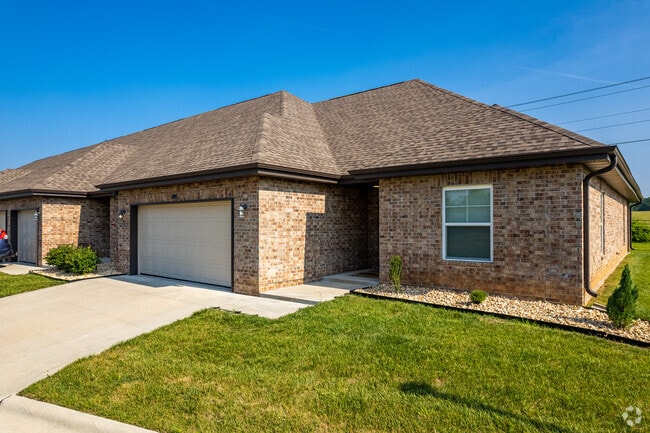
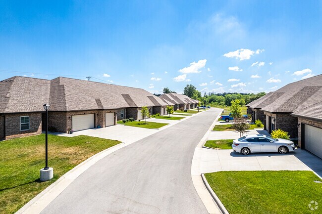
5606 N Farmer Branch Rd
Springfield, MO
LOT 6A OZARK MOUNTAIN CROSSROADS REPLAT LOTS 6 & 7 OF THE REPLAT
110203000000020003
CHRISTIAN
Commercialnec
Missouri
AE The base floodplain where base flood elevations are provided. AE Zones are now used on new format FIRMs instead of A1-A30 Zones.
6a-7
2024
8.64 AC
2025
Christian County
020310
Springfield
8,933 SF
NEARBY LISTINGS FOR SALE OR LEASE
-
-
View all Ozark listings for sale on LoopNet.com
DEMOGRAPHICS near 5606 N Farmer Branch Rd
1 mile
3 mile
5 mile
2025 Total Population
3,915
19,537
64,359
2030 Population
4,143
20,675
67,765
Pop Growth 2025-2030
+ 5.82%
+ 5.82%
+ 5.29%
Average Age
39
40
40
2025 Total Households
1,545
7,463
24,807
HH Growth 2025-2030
+ 5.89%
+ 5.84%
+ 5.26%
Median Household Inc
$72,994
$88,040
$86,101
Avg Household Size
2.50
2.60
2.50
2025 Avg HH Vehicles
2.00
2.00
2.00
Median Home Value
$314,326
$386,718
$324,202
Median Year Built
2001
2001
1996
Nearby Places
Map Layers
Map Styles
 Street
 Aerial
Transit
 Traffic
 Biking
Places
Listings with unknown addresses are not visible on the map
- Restaurants
- Banks
- Shops
- Fitness
- Groceries
PUBLIC TRANSPORTATION
AIRPORT
Springfield-Branson Ntl
Drive
Walk
Distance
Springfield-Branson Ntl
38 min
26.5 mi
Freight Ports
Tulsa Port of Inola
Drive
Walk
Distance
Tulsa Port of Inola
202 min
180.9 mi
SALE & LEASE HISTORY
LISTING DATE
SALE/LEASE

Jul 11, 2022
For Sale
Nearby Properties
Address
Land Use
TOTAL SIZE
Lot Size
Zoning
Address
Land Use
TOTAL SIZE
Lot Size
Zoning
2,400 SF
41.33 AC
Address
Land Use
TOTAL SIZE
Lot Size
Zoning
1,632 SF
12 AC
Address
Land Use
TOTAL SIZE
Lot Size
Zoning
8.08 AC
INC
Address
Land Use
TOTAL SIZE
Lot Size
Zoning
13,048 SF
9.29 AC
Address
Land Use
TOTAL SIZE
Lot Size
Zoning
6,000 SF
50.60 AC
Address
Land Use
TOTAL SIZE
Lot Size
Zoning
129,257 SF
32 AC
Address
Land Use
TOTAL SIZE
Lot Size
Zoning
13.11 AC
INC
Address
Land Use
TOTAL SIZE
Lot Size
Zoning
1,836 SF
35.65 AC
Address
Land Use
TOTAL SIZE
Lot Size
Zoning
3,942 SF
40 AC
Address
Land Use
TOTAL SIZE
Lot Size
Zoning
9,474 SF
8.90 AC
Address
Land Use
TOTAL SIZE
Lot Size
Zoning
68,882 SF
39.87 AC
Address
Land Use
TOTAL SIZE
Lot Size
Zoning
3,025 SF
2.20 AC
Address
Land Use
TOTAL SIZE
Lot Size
Zoning
968 SF
18.67 AC
Address
Land Use
TOTAL SIZE
Lot Size
Zoning
54.39 AC
INC
Address
Land Use
TOTAL SIZE
Lot Size
Zoning
11,421 SF
163.10 AC
Address
Land Use
TOTAL SIZE
Lot Size
Zoning
167.92 AC
PAD
Address
Land Use
TOTAL SIZE
Lot Size
Zoning
3,910 SF
6.33 AC
Address
Land Use
TOTAL SIZE
Lot Size
Zoning
7,472 SF
4.51 AC
Address
Land Use
TOTAL SIZE
Lot Size
Zoning
5,184 SF
5.30 AC
Address
Land Use
TOTAL SIZE
Lot Size
Zoning
16.23 AC
INC
Address
Land Use
TOTAL SIZE
Lot Size
Zoning
5,824 SF
6.68 AC
Address
Land Use
TOTAL SIZE
Lot Size
Zoning
3,003 SF
6.46 AC
Address
Land Use
TOTAL SIZE
Lot Size
Zoning
20,765 SF
3 AC
Address
Land Use
TOTAL SIZE
Lot Size
Zoning
9,285 SF
5.49 AC
Address
Land Use
TOTAL SIZE
Lot Size
Zoning
4,545 SF
4.16 AC
Address
Land Use
TOTAL SIZE
Lot Size
Zoning
20,708 SF
31.97 AC
INC
Address
Land Use
TOTAL SIZE
Lot Size
Zoning
1,860 SF
6.23 AC
Address
Land Use
TOTAL SIZE
Lot Size
Zoning
520 SF
120.90 AC
Address
Land Use
TOTAL SIZE
Lot Size
Zoning
14,500 SF
19.22 AC
The World's #1 Commercial Real Estate Marketplace
Connect with us
© 2026 CoStar Group
The information above has been obtained from sources believed reliable. While we do not doubt its accuracy we have not verified it and make no guarantee, warranty or representation about it. It is your responsibility to independently confirm its accuracy and completeness. Any projections, opinions, assumptions, or estimates used are for example only and do not represent the current or future performance of the property. The value of this transaction to you depends on tax and other factors which should be evaluated by your tax, financial, and legal advisors. You and your advisors should conduct a careful, independent investigation of the property to determine to your satisfaction the suitability of the property for your needs.