Property Record
5610 Kitsap Way, Bremerton, WA 98312


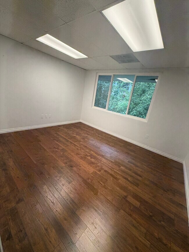


Current Lease Availabilities
NEARBY LISTINGS FOR SALE OR LEASE
Property Detail
5610 Kitsap Way
Bremerton-Silverdale-Port Orchard, WA
Brentwood Park
3719-001-023-01-06
RESULTANT LOT B OF BOUNDARY LINE ADJUSTMENT RECORDED UNDER AUDITORS FILE NO. 201704270180, RECORDS OF KITSAP COUNTY, WASHINGTON, BEING LOT B AND A PORTION OF LOT A, CITY OF BREMERTON SHORT PLAT NO. B-152 (4-85), RECORDED UNDER AUDITORS FILE NO. 86031
Religious
Kitsap
X
Washington
53035C0354F
b
0
2.54 AC
2026
West Bremerton
080900
Bremerton/Silverdale
49,200 SF
DEMOGRAPHICS near 5610 Kitsap Way
1 Mile
3 Mile
5 Mile
2024 Total Population
6,450
46,924
107,937
2029 Population
6,704
47,751
109,595
Pop Growth 2024-2029
+ 3.94%
+ 1.76%
+ 1.54%
Average Age
41
38
39
2024 Total Households
2,693
17,621
41,120
HH Growth 2024-2029
+ 4.23%
+ 2.13%
+ 1.68%
Median Household Inc
$60,294
$64,123
$70,101
Avg Household Size
2.30
2.30
2.40
2024 Avg HH Vehicles
2.00
2.00
2.00
Median Home Value
$488,012
$373,054
$394,961
Median Year Built
1988
1971
1979
Nearby Places
Map Layers
Map Styles
 Street
 Aerial
- Restaurants
- Banks
- Shops
- Fitness
- Groceries
PUBLIC TRANSPORTATION
AIRPORT
Seattle Paine Field International
DRIVE
WALK
Distance
Seattle Paine Field International
87 min
41.3 mi
Nearby Properties
Address
Land Use
TOTAL SIZE
Lot Size
Zoning
Address
Land Use
TOTAL SIZE
Lot Size
Zoning
21,408 SF
8.26 AC
BVSAP
Address
Land Use
TOTAL SIZE
Lot Size
Zoning
138,877 SF
7.17 AC
R-10
Address
Land Use
TOTAL SIZE
Lot Size
Zoning
66,022 SF
8.28 AC
RR
Address
Land Use
TOTAL SIZE
Lot Size
Zoning
112,847 SF
6.80 AC
UM
Address
Land Use
TOTAL SIZE
Lot Size
Zoning
151,599 SF
5.44 AC
R-40
Address
Land Use
TOTAL SIZE
Lot Size
Zoning
Address
Land Use
TOTAL SIZE
Lot Size
Zoning
75,390 SF
4.46 AC
R-18
Address
Land Use
TOTAL SIZE
Lot Size
Zoning
122,799 SF
4.48 AC
R-40
Address
Land Use
TOTAL SIZE
Lot Size
Zoning
68,079 SF
2.16 AC
BVSAP
Address
Land Use
TOTAL SIZE
Lot Size
Zoning
73,931 SF
11.72 AC
FC
Address
Land Use
TOTAL SIZE
Lot Size
Zoning
43,944 SF
2.64 AC
FC
Address
Land Use
TOTAL SIZE
Lot Size
Zoning
47,584 SF
3.76 AC
R-40
Address
Land Use
TOTAL SIZE
Lot Size
Zoning
45,682 SF
2.04 AC
GC
Address
Land Use
TOTAL SIZE
Lot Size
Zoning
75,225 SF
3.30 AC
R-10
Address
Land Use
TOTAL SIZE
Lot Size
Zoning
55,866 SF
8.48 AC
FC
Address
Land Use
TOTAL SIZE
Lot Size
Zoning
48,520 SF
3.76 AC
GC
Address
Land Use
TOTAL SIZE
Lot Size
Zoning
44,220 SF
2.86 AC
R-40
Address
Land Use
TOTAL SIZE
Lot Size
Zoning
24,930 SF
0.33 AC
DSAP
Address
Land Use
TOTAL SIZE
Lot Size
Zoning
38,502 SF
5.92 AC
R-40
Address
Land Use
TOTAL SIZE
Lot Size
Zoning
52,461 SF
5.92 AC
RR
Address
Land Use
TOTAL SIZE
Lot Size
Zoning
46,976 SF
0.93 AC
EC
Address
Land Use
TOTAL SIZE
Lot Size
Zoning
42,665 SF
5.55 AC
FC
Address
Land Use
TOTAL SIZE
Lot Size
Zoning
52,601 SF
6.30 AC
BVSAP
Address
Land Use
TOTAL SIZE
Lot Size
Zoning
47,064 SF
5.27 AC
GC
Address
Land Use
TOTAL SIZE
Lot Size
Zoning
48,130 SF
0.42 AC
DSAP
Address
Land Use
TOTAL SIZE
Lot Size
Zoning
74,169 SF
2.62 AC
GC
Address
Land Use
TOTAL SIZE
Lot Size
Zoning
34,792 SF
1.89 AC
R-10
Address
Land Use
TOTAL SIZE
Lot Size
Zoning
31,164 SF
0.55 AC
DSAP
Address
Land Use
TOTAL SIZE
Lot Size
Zoning
67,721 SF
1.04 AC
EC
Address
Land Use
TOTAL SIZE
Lot Size
Zoning
59,676 SF
2.08 AC
EC
The World's #1 Commercial Real Estate Marketplace
Connect with us
© 2026 CoStar Group
The information above has been obtained from sources believed reliable. While we do not doubt its accuracy we have not verified it and make no guarantee, warranty or representation about it. It is your responsibility to independently confirm its accuracy and completeness. Any projections, opinions, assumptions, or estimates used are for example only and do not represent the current or future performance of the property. The value of this transaction to you depends on tax and other factors which should be evaluated by your tax, financial, and legal advisors. You and your advisors should conduct a careful, independent investigation of the property to determine to your satisfaction the suitability of the property for your needs.