Property Record
5630 Cottle Rd, San Jose, CA 95123
NEARBY LISTINGS FOR SALE OR LEASE
Property Detail
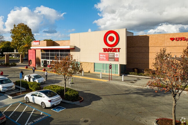
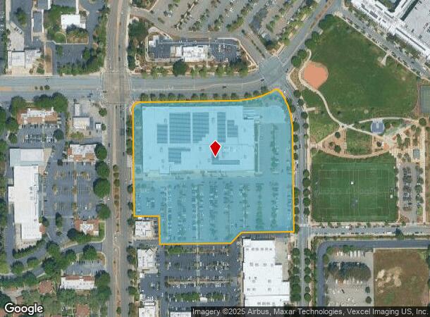
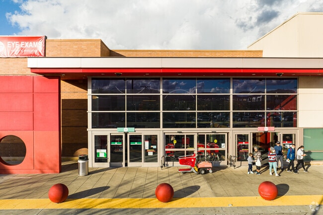
5630 Cottle Rd
Regionalshoppingcenterormallwithanchorstore
Santa Clara
D
California
06085C0268H
9.72 AC
2024
South San Jose
2025
South Bay/San Jose
512058
San Jose-Sunnyvale-Santa Clara, CA
139,480 SF
706-07-029
DEMOGRAPHICS near 5630 Cottle Rd
1 Mile
3 Mile
5 Mile
2024 Total Population
32,201
145,593
330,001
2029 Population
31,020
140,027
316,582
Pop Growth 2024-2029
(3.67%)
(3.82%)
(4.07%)
Average Age
38
39
41
2024 Total Households
10,657
45,239
103,427
HH Growth 2024-2029
(3.97%)
(4.04%)
(4.30%)
Median Household Inc
$110,537
$128,855
$132,366
Avg Household Size
2.90
3.10
3.10
2024 Avg HH Vehicles
2.00
2.00
2.00
Median Home Value
$783,106
$979,662
$1,023,093
Median Year Built
1986
1976
1977
Nearby Places
Map Layers
Map Styles
 Street
 Aerial
- Restaurants
- Banks
- Shops
- Fitness
- Groceries
PUBLIC TRANSPORTATION
TRANSIT/SUBWAY
Cottle Station (Alum Rock - Santa Teresa Line - Santa Clara VTA Light Rail)
DRIVE
WALK
Distance
Cottle Station (Alum Rock - Santa Teresa Line - Santa Clara VTA Light Rail)
5 min
12 min
0.6 mi
Cottle Station (Baypointe - Santa Teresa - VTA, Baypointe - Santa Teresa Modified-S - VTA)
DRIVE
WALK
Distance
Cottle Station (Baypointe - Santa Teresa - VTA, Baypointe - Santa Teresa Modified-S - VTA)
7 min
13 min
0.7 mi
COMMUTER RAIL
Blossom Hill (Caltrain - Caltrain (Caltrain), South Santa Clara County Connector - Caltrain (Caltrain))
DRIVE
WALK
Distance
Blossom Hill (Caltrain - Caltrain (Caltrain), South Santa Clara County Connector - Caltrain (Caltrain))
2 min
10 min
0.5 mi
Capitol (Caltrain - Caltrain (Caltrain), South Santa Clara County Connector - Caltrain (Caltrain))
DRIVE
WALK
Distance
Capitol (Caltrain - Caltrain (Caltrain), South Santa Clara County Connector - Caltrain (Caltrain))
8 min
4.0 mi
AIRPORT
Norman Y Mineta San Jose International
DRIVE
WALK
Distance
Norman Y Mineta San Jose International
19 min
12.4 mi
Freight Ports
Port of Redwood City
DRIVE
WALK
Distance
Port of Redwood City
40 min
31.7 mi
Nearby Properties
Address
Land Use
TOTAL SIZE
Lot Size
Zoning
Address
Land Use
TOTAL SIZE
Lot Size
Zoning
160,002 SF
7.54 AC
IP
Address
Land Use
TOTAL SIZE
Lot Size
Zoning
715,000 SF
10.81 AC
PUD
Address
Land Use
TOTAL SIZE
Lot Size
Zoning
350,451 SF
4.69 AC
M1PD
Address
Land Use
TOTAL SIZE
Lot Size
Zoning
11.14 AC
A(PD)
Address
Land Use
TOTAL SIZE
Lot Size
Zoning
323,496 SF
12.02 AC
R140
Address
Land Use
TOTAL SIZE
Lot Size
Zoning
95,483 SF
176.29 AC
IP(PD
Address
Land Use
TOTAL SIZE
Lot Size
Zoning
286,330 SF
17.38 AC
IP
Address
Land Use
TOTAL SIZE
Lot Size
Zoning
0.13 AC
R1B6
Address
Land Use
TOTAL SIZE
Lot Size
Zoning
241,800 SF
15.07 AC
R4
Address
Land Use
TOTAL SIZE
Lot Size
Zoning
7.36 AC
IP
Address
Land Use
TOTAL SIZE
Lot Size
Zoning
209,128 SF
13.13 AC
R1PD
Address
Land Use
TOTAL SIZE
Lot Size
Zoning
10.56 AC
APD
Address
Land Use
TOTAL SIZE
Lot Size
Zoning
541,667 SF
509.96 AC
APD
Address
Land Use
TOTAL SIZE
Lot Size
Zoning
283,959 SF
8.34 AC
IP
Address
Land Use
TOTAL SIZE
Lot Size
Zoning
11.39 AC
A-PD
Address
Land Use
TOTAL SIZE
Lot Size
Zoning
310,788 SF
5.85 AC
PD
Address
Land Use
TOTAL SIZE
Lot Size
Zoning
188,064 SF
25.33 AC
IP
Address
Land Use
TOTAL SIZE
Lot Size
Zoning
8.72 AC
A-PD
Address
Land Use
TOTAL SIZE
Lot Size
Zoning
6.79 AC
A-PD
Address
Land Use
TOTAL SIZE
Lot Size
Zoning
155,286 SF
9.50 AC
R3
Address
Land Use
TOTAL SIZE
Lot Size
Zoning
275,000 SF
12.24 AC
A-PD
Address
Land Use
TOTAL SIZE
Lot Size
Zoning
95,846 SF
5.82 AC
A(PD)
Address
Land Use
TOTAL SIZE
Lot Size
Zoning
10.07 AC
PD
Address
Land Use
TOTAL SIZE
Lot Size
Zoning
21.67 AC
R3B
Address
Land Use
TOTAL SIZE
Lot Size
Zoning
60,000 SF
10.51 AC
IP
Address
Land Use
TOTAL SIZE
Lot Size
Zoning
163,904 SF
9.48 AC
R3APD
Address
Land Use
TOTAL SIZE
Lot Size
Zoning
185,600 SF
11.33 AC
IP
Address
Land Use
TOTAL SIZE
Lot Size
Zoning
29.43 AC
A
Address
Land Use
TOTAL SIZE
Lot Size
Zoning
5.05 AC
APD
Address
Land Use
TOTAL SIZE
Lot Size
Zoning
5,976 SF
7.43 AC
MIPD
The World's #1 Commercial Real Estate Marketplace
Connect with us
© 2026 CoStar Group
The information above has been obtained from sources believed reliable. While we do not doubt its accuracy we have not verified it and make no guarantee, warranty or representation about it. It is your responsibility to independently confirm its accuracy and completeness. Any projections, opinions, assumptions, or estimates used are for example only and do not represent the current or future performance of the property. The value of this transaction to you depends on tax and other factors which should be evaluated by your tax, financial, and legal advisors. You and your advisors should conduct a careful, independent investigation of the property to determine to your satisfaction the suitability of the property for your needs.