Property Record
56305 W Smith Enke Rd, Maricopa, AZ 85139
NEARBY LISTINGS FOR SALE OR LEASE
Property Detail
56305 W Smith Enke Rd
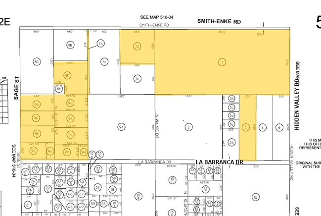
510-04-033
E-166.38 S-332.54 W1/2 SW SW NW OF SEC 21-4S-2E 1.27 AC
Vacantlandnec
Pinal
X
Arizona
04013C3425M
69.20 AC
2024
Pinal County
2025
Phoenix
941401
Phoenix-Mesa-Scottsdale, AZ
DEMOGRAPHICS near 56305 W Smith Enke Rd
1 Mile
3 Mile
5 Mile
2024 Total Population
155
547
1,207
2029 Population
199
701
1,451
Pop Growth 2024-2029
+ 28.39%
+ 28.15%
+ 20.22%
Average Age
44
44
43
2024 Total Households
54
192
318
HH Growth 2024-2029
+ 27.78%
+ 27.08%
+ 25.47%
Median Household Inc
$88,749
$87,500
$84,375
Avg Household Size
2.80
2.80
2.80
2024 Avg HH Vehicles
3.00
3.00
3.00
Median Home Value
$325,000
$321,428
$329,629
Median Year Built
1999
1999
1999
Nearby Places
Map Layers
Map Styles
 Street
 Aerial
- Restaurants
- Banks
- Shops
- Fitness
- Groceries
PUBLIC TRANSPORTATION
COMMUTER RAIL
Maricopa (Sunset Limited - Amtrak, Texas Eagle - Amtrak)
DRIVE
WALK
Distance
Maricopa (Sunset Limited - Amtrak, Texas Eagle - Amtrak)
11 min
8.6 mi
AIRPORT
Phoenix Sky Harbor International
DRIVE
WALK
Distance
Phoenix Sky Harbor International
50 min
36.2 mi
Freight Ports
Port of San Diego
DRIVE
WALK
Distance
Port of San Diego
364 min
320.9 mi
Nearby Properties
Address
Land Use
TOTAL SIZE
Lot Size
Zoning
Address
Land Use
TOTAL SIZE
Lot Size
Zoning
108,328 SF
320 AC
Address
Land Use
TOTAL SIZE
Lot Size
Zoning
7,414 SF
100 AC
GR
Address
Land Use
TOTAL SIZE
Lot Size
Zoning
77.08 AC
GR
Address
Land Use
TOTAL SIZE
Lot Size
Zoning
3,552 SF
10 AC
CI2
Address
Land Use
TOTAL SIZE
Lot Size
Zoning
46.96 AC
CI2
Address
Land Use
TOTAL SIZE
Lot Size
Zoning
76.97 AC
Address
Land Use
TOTAL SIZE
Lot Size
Zoning
Address
Land Use
TOTAL SIZE
Lot Size
Zoning
4,800 SF
5 AC
CI2
Address
Land Use
TOTAL SIZE
Lot Size
Zoning
2,352 SF
5 AC
CI2
Address
Land Use
TOTAL SIZE
Lot Size
Zoning
2,358 SF
5 AC
CI2
Address
Land Use
TOTAL SIZE
Lot Size
Zoning
29.86 AC
GR
Address
Land Use
TOTAL SIZE
Lot Size
Zoning
4,720 SF
5 AC
CI2
Address
Land Use
TOTAL SIZE
Lot Size
Zoning
1,968 SF
218.43 AC
CI2
Address
Land Use
TOTAL SIZE
Lot Size
Zoning
7 AC
CI2
Address
Land Use
TOTAL SIZE
Lot Size
Zoning
19.55 AC
GR
Address
Land Use
TOTAL SIZE
Lot Size
Zoning
5 AC
CI2
Address
Land Use
TOTAL SIZE
Lot Size
Zoning
3,244 SF
8.96 AC
GR
Address
Land Use
TOTAL SIZE
Lot Size
Zoning
1,254 SF
3 AC
Address
Land Use
TOTAL SIZE
Lot Size
Zoning
Address
Land Use
TOTAL SIZE
Lot Size
Zoning
2,282 SF
147.11 AC
Address
Land Use
TOTAL SIZE
Lot Size
Zoning
19.54 AC
GR
Address
Land Use
TOTAL SIZE
Lot Size
Zoning
Address
Land Use
TOTAL SIZE
Lot Size
Zoning
19.14 AC
GR
The World's #1 Commercial Real Estate Marketplace
Connect with us
© 2025 CoStar Group
The information above has been obtained from sources believed reliable. While we do not doubt its accuracy we have not verified it and make no guarantee, warranty or representation about it. It is your responsibility to independently confirm its accuracy and completeness. Any projections, opinions, assumptions, or estimates used are for example only and do not represent the current or future performance of the property. The value of this transaction to you depends on tax and other factors which should be evaluated by your tax, financial, and legal advisors. You and your advisors should conduct a careful, independent investigation of the property to determine to your satisfaction the suitability of the property for your needs.