Property Record
564 W Sh 71, Sandoval, TX 76574
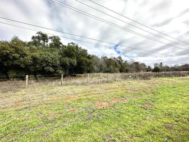


Property Detail
564 W Sh 71
Austin-Round Rock-San Marcos, TX
WALDEN ADDITION, LOT 1,BLOCK 1, ACRES 4.394
17526
BASTROP
Recreationalacreage
Texas
B and X Area of moderate flood hazard, usually the area between the limits of the 100-year and 500-year floods.
1
2025
4.39 AC
2025
Bastrop County
021203
Austin
NEARBY LISTINGS FOR SALE OR LEASE
DEMOGRAPHICS near 564 W Sh 71
1 mile
3 mile
5 mile
2025 Total Population
260
5,287
9,561
2030 Population
299
6,089
11,006
Pop Growth 2025-2030
+ 15.00%
+ 15.17%
+ 15.11%
Average Age
44
42
42
2025 Total Households
106
2,162
3,840
HH Growth 2025-2030
+ 16.04%
+ 15.54%
+ 15.52%
Median Household Inc
$71,249
$59,216
$63,927
Avg Household Size
2.40
2.40
2.50
2025 Avg HH Vehicles
2.00
2.00
2.00
Median Home Value
$282,608
$276,028
$279,822
Median Year Built
1987
1984
1987
Nearby Places
Map Layers
Map Styles
 Street
 Aerial
Layers
 Traffic
 Biking
Places
Listings with unknown addresses are not visible on the map
- Restaurants
- Banks
- Shops
- Fitness
- Groceries
SALE & LEASE HISTORY
LISTING DATE
SALE/LEASE

Feb 26, 2025
For Sale
Nearby Properties
Address
Land Use
TOTAL SIZE
Lot Size
Zoning
Address
Land Use
TOTAL SIZE
Lot Size
Zoning
111,124 SF
174.30 AC
Address
Land Use
TOTAL SIZE
Lot Size
Zoning
Address
Land Use
TOTAL SIZE
Lot Size
Zoning
38,710 SF
8 AC
Address
Land Use
TOTAL SIZE
Lot Size
Zoning
9,702 SF
368.30 AC
Address
Land Use
TOTAL SIZE
Lot Size
Zoning
48,818 SF
1.60 AC
Address
Land Use
TOTAL SIZE
Lot Size
Zoning
91,562 SF
12.88 AC
Address
Land Use
TOTAL SIZE
Lot Size
Zoning
12,348 SF
121 AC
Address
Land Use
TOTAL SIZE
Lot Size
Zoning
Address
Land Use
TOTAL SIZE
Lot Size
Zoning
165.70 AC
Address
Land Use
TOTAL SIZE
Lot Size
Zoning
50,892 SF
10.30 AC
Address
Land Use
TOTAL SIZE
Lot Size
Zoning
17,060 SF
5 AC
Address
Land Use
TOTAL SIZE
Lot Size
Zoning
Address
Land Use
TOTAL SIZE
Lot Size
Zoning
10,302 SF
0.31 AC
Address
Land Use
TOTAL SIZE
Lot Size
Zoning
Address
Land Use
TOTAL SIZE
Lot Size
Zoning
Address
Land Use
TOTAL SIZE
Lot Size
Zoning
27,213 SF
3.02 AC
Address
Land Use
TOTAL SIZE
Lot Size
Zoning
19,676 SF
0.78 AC
Address
Land Use
TOTAL SIZE
Lot Size
Zoning
82.37 AC
Address
Land Use
TOTAL SIZE
Lot Size
Zoning
9,190 SF
40.81 AC
Address
Land Use
TOTAL SIZE
Lot Size
Zoning
32,293 SF
2.29 AC
Address
Land Use
TOTAL SIZE
Lot Size
Zoning
13,700 SF
1.29 AC
Address
Land Use
TOTAL SIZE
Lot Size
Zoning
10,067 SF
0.47 AC
Address
Land Use
TOTAL SIZE
Lot Size
Zoning
16.14 AC
Address
Land Use
TOTAL SIZE
Lot Size
Zoning
Address
Land Use
TOTAL SIZE
Lot Size
Zoning
14,004 SF
21.14 AC
Address
Land Use
TOTAL SIZE
Lot Size
Zoning
30,655 SF
1.78 AC
Address
Land Use
TOTAL SIZE
Lot Size
Zoning
12,188 SF
1.38 AC
Address
Land Use
TOTAL SIZE
Lot Size
Zoning
4,592 SF
0.16 AC
Address
Land Use
TOTAL SIZE
Lot Size
Zoning
5,833 SF
21.48 AC
Address
Land Use
TOTAL SIZE
Lot Size
Zoning
11,973 SF
22.75 AC
The World's #1 Commercial Real Estate Marketplace
Connect with us
© 2026 CoStar Group
The information above has been obtained from sources believed reliable. While we do not doubt its accuracy we have not verified it and make no guarantee, warranty or representation about it. It is your responsibility to independently confirm its accuracy and completeness. Any projections, opinions, assumptions, or estimates used are for example only and do not represent the current or future performance of the property. The value of this transaction to you depends on tax and other factors which should be evaluated by your tax, financial, and legal advisors. You and your advisors should conduct a careful, independent investigation of the property to determine to your satisfaction the suitability of the property for your needs.