Property Record
5654 Dunn Ave, Jacksonville, FL 32218


Property Detail
5654 Dunn Ave
004303-0300
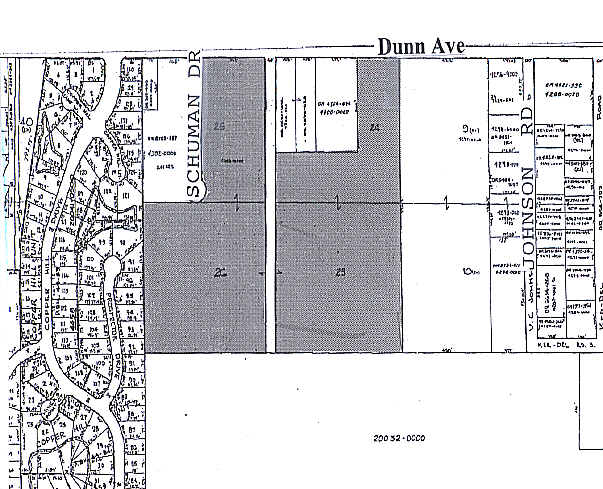
07-1S-26E 14.69 DINSMORE FARMS S/D PT FARM 25, FARM 26 RECD O/R 10263-827 BEING PARCEL 2, W 1/2 CLD R/W RECD O/R 17834-1484
Religious
DUVAL
PUD
Florida
B and X Area of moderate flood hazard, usually the area between the limits of the 100-year and 500-year floods.
14.33 AC
0
North Side
2026
Jacksonville (Florida)
010502
Jacksonville, FL
28,799 SF
NEARBY LISTINGS FOR SALE OR LEASE
DEMOGRAPHICS near 5654 Dunn Ave
1 mile
3 mile
5 mile
2025 Total Population
3,380
36,146
84,570
2030 Population
3,646
38,794
90,306
Pop Growth 2025-2030
+ 7.87%
+ 7.33%
+ 6.78%
Average Age
39
40
39
2025 Total Households
1,242
13,358
31,868
HH Growth 2025-2030
+ 8.13%
+ 7.52%
+ 7.02%
Median Household Inc
$90,729
$65,716
$56,378
Avg Household Size
2.70
2.60
2.60
2025 Avg HH Vehicles
2.00
2.00
2.00
Median Home Value
$301,131
$262,280
$226,299
Median Year Built
2001
1995
1979
Nearby Places
Map Layers
Map Styles
 Street
 Aerial
Layers
 Traffic
 Biking
Places
Listings with unknown addresses are not visible on the map
- Restaurants
- Banks
- Shops
- Fitness
- Groceries
PUBLIC TRANSPORTATION
COMMUTER RAIL
Jacksonville (Silver Meteor - Amtrak, Silver Star - Amtrak)
Drive
Walk
Distance
Jacksonville (Silver Meteor - Amtrak, Silver Star - Amtrak)
12 min
7.1 mi
AIRPORT
Jacksonville International
Drive
Walk
Distance
Jacksonville International
16 min
8.5 mi
Freight Ports
Jacksonville Port
Drive
Walk
Distance
Jacksonville Port
22 min
11.9 mi
Nearby Properties
Address
Land Use
TOTAL SIZE
Lot Size
Zoning
Address
Land Use
TOTAL SIZE
Lot Size
Zoning
647,378 SF
27.72 AC
IBP
Address
Land Use
TOTAL SIZE
Lot Size
Zoning
375,130 SF
25.22 AC
IBP
Address
Land Use
TOTAL SIZE
Lot Size
Zoning
284,023 SF
25.30 AC
RMD-C
Address
Land Use
TOTAL SIZE
Lot Size
Zoning
6,300 SF
744.81 AC
PUD
Address
Land Use
TOTAL SIZE
Lot Size
Zoning
248.72 AC
PUD
Address
Land Use
TOTAL SIZE
Lot Size
Zoning
254,693 SF
40.76 AC
RMD-D
Address
Land Use
TOTAL SIZE
Lot Size
Zoning
225,829 SF
140.47 AC
PBF-1
Address
Land Use
TOTAL SIZE
Lot Size
Zoning
39,251 SF
55.24 AC
PUD
Address
Land Use
TOTAL SIZE
Lot Size
Zoning
95,080 SF
9.35 AC
CRO
Address
Land Use
TOTAL SIZE
Lot Size
Zoning
240,692 SF
30.32 AC
CCG-1
Address
Land Use
TOTAL SIZE
Lot Size
Zoning
79,407 SF
14.93 AC
PUD
Address
Land Use
TOTAL SIZE
Lot Size
Zoning
238,052 SF
30.81 AC
RHD-A
Address
Land Use
TOTAL SIZE
Lot Size
Zoning
254.45 AC
PUD
Address
Land Use
TOTAL SIZE
Lot Size
Zoning
49,120 SF
89.32 AC
CCG-2
Address
Land Use
TOTAL SIZE
Lot Size
Zoning
1,950 SF
72.15 AC
IBP
Address
Land Use
TOTAL SIZE
Lot Size
Zoning
9,238 SF
48.79 AC
ROS
Address
Land Use
TOTAL SIZE
Lot Size
Zoning
80,905 SF
14.86 AC
PUD
Address
Land Use
TOTAL SIZE
Lot Size
Zoning
74,680 SF
5.07 AC
PUD
Address
Land Use
TOTAL SIZE
Lot Size
Zoning
17,698 SF
2.11 AC
CCG-1
Address
Land Use
TOTAL SIZE
Lot Size
Zoning
134,409 SF
17.67 AC
PUD
Address
Land Use
TOTAL SIZE
Lot Size
Zoning
3,736 SF
44.81 AC
RLD-40
Address
Land Use
TOTAL SIZE
Lot Size
Zoning
67,409 SF
12.53 AC
PUD
Address
Land Use
TOTAL SIZE
Lot Size
Zoning
66.30 AC
PUD
Address
Land Use
TOTAL SIZE
Lot Size
Zoning
66,255 SF
40.55 AC
RR-ACRE
Address
Land Use
TOTAL SIZE
Lot Size
Zoning
13,214 SF
1.52 AC
PUD
Address
Land Use
TOTAL SIZE
Lot Size
Zoning
58,475 SF
5.33 AC
PUD
Address
Land Use
TOTAL SIZE
Lot Size
Zoning
41.66 AC
PUD
Address
Land Use
TOTAL SIZE
Lot Size
Zoning
16,030 SF
0.06 AC
CCG-1
Address
Land Use
TOTAL SIZE
Lot Size
Zoning
792 SF
9.18 AC
ROS
Address
Land Use
TOTAL SIZE
Lot Size
Zoning
65,504 SF
5.67 AC
PUD
The World's #1 Commercial Real Estate Marketplace
Connect with us
© 2026 CoStar Group
The information above has been obtained from sources believed reliable. While we do not doubt its accuracy we have not verified it and make no guarantee, warranty or representation about it. It is your responsibility to independently confirm its accuracy and completeness. Any projections, opinions, assumptions, or estimates used are for example only and do not represent the current or future performance of the property. The value of this transaction to you depends on tax and other factors which should be evaluated by your tax, financial, and legal advisors. You and your advisors should conduct a careful, independent investigation of the property to determine to your satisfaction the suitability of the property for your needs.