Property Record
Grim Rd, Kutztown, PA 19530


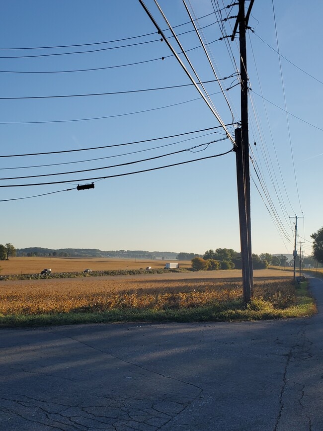
This Property Is For Sale
NEARBY LISTINGS FOR SALE OR LEASE
Property Detail
Grim Rd
63-5464-02-96-5655
Berks
Residentialacreage
Pennsylvania
X
7.18 AC
42011C0215G
Berks County
2025
Philadelphia
2025
Reading, PA
014102
DEMOGRAPHICS near Grim Rd
1 Mile
3 Mile
5 Mile
2024 Total Population
234
7,545
34,240
2029 Population
231
7,534
34,610
Pop Growth 2024-2029
(1.28%)
(0.15%)
+ 1.08%
Average Age
44
43
40
2024 Total Households
91
2,874
12,715
HH Growth 2024-2029
(1.10%)
(0.17%)
+ 1.18%
Median Household Inc
$84,722
$83,617
$83,909
Avg Household Size
2.60
2.50
2.50
2024 Avg HH Vehicles
3.00
2.00
2.00
Median Home Value
$313,636
$279,166
$276,977
Median Year Built
1954
1970
1984
Nearby Places
Map Layers
Map Styles
 Street
 Aerial
- Restaurants
- Banks
- Shops
- Fitness
- Groceries
PUBLIC TRANSPORTATION
AIRPORT
Lehigh Valley International
DRIVE
WALK
Distance
Lehigh Valley International
29 min
17.8 mi
Freight Ports
Port of Philadelphia
DRIVE
WALK
Distance
Port of Philadelphia
87 min
66.1 mi
Nearby Properties
Address
Land Use
TOTAL SIZE
Lot Size
Zoning
Address
Land Use
TOTAL SIZE
Lot Size
Zoning
5,240 SF
137.34 AC
RT
Address
Land Use
TOTAL SIZE
Lot Size
Zoning
425,093 SF
52.57 AC
GC
Address
Land Use
TOTAL SIZE
Lot Size
Zoning
436,402 SF
33.04 AC
GI
Address
Land Use
TOTAL SIZE
Lot Size
Zoning
336,000 SF
20.34 AC
GC
Address
Land Use
TOTAL SIZE
Lot Size
Zoning
241,800 SF
21.01 AC
GI
Address
Land Use
TOTAL SIZE
Lot Size
Zoning
224,000 SF
17.28 AC
GI
Address
Land Use
TOTAL SIZE
Lot Size
Zoning
47,386 SF
11.66 AC
LI
Address
Land Use
TOTAL SIZE
Lot Size
Zoning
98,000 SF
11.89 AC
GI
Address
Land Use
TOTAL SIZE
Lot Size
Zoning
6,756 SF
7.51 AC
GI
Address
Land Use
TOTAL SIZE
Lot Size
Zoning
84,486 SF
11.81 AC
GI
Address
Land Use
TOTAL SIZE
Lot Size
Zoning
10,770 SF
13.06 AC
Address
Land Use
TOTAL SIZE
Lot Size
Zoning
176,443 SF
16.98 AC
Address
Land Use
TOTAL SIZE
Lot Size
Zoning
120,973 SF
7.31 AC
Address
Land Use
TOTAL SIZE
Lot Size
Zoning
27,880 SF
16.60 AC
Address
Land Use
TOTAL SIZE
Lot Size
Zoning
29.20 AC
RU15
Address
Land Use
TOTAL SIZE
Lot Size
Zoning
39,845 SF
5.70 AC
GC
Address
Land Use
TOTAL SIZE
Lot Size
Zoning
128,933 SF
57.89 AC
Address
Land Use
TOTAL SIZE
Lot Size
Zoning
20,820 SF
6.19 AC
LI
Address
Land Use
TOTAL SIZE
Lot Size
Zoning
5,779 SF
25.28 AC
RU15
Address
Land Use
TOTAL SIZE
Lot Size
Zoning
30,000 SF
4.64 AC
LI
Address
Land Use
TOTAL SIZE
Lot Size
Zoning
10,151 SF
3.70 AC
R
Address
Land Use
TOTAL SIZE
Lot Size
Zoning
164,064 SF
13 AC
Address
Land Use
TOTAL SIZE
Lot Size
Zoning
4,120 SF
7.07 AC
LI
Address
Land Use
TOTAL SIZE
Lot Size
Zoning
10,558 SF
2.98 AC
GI
Address
Land Use
TOTAL SIZE
Lot Size
Zoning
2,957 SF
0.76 AC
L1
Address
Land Use
TOTAL SIZE
Lot Size
Zoning
6,520 SF
15.20 AC
R
Address
Land Use
TOTAL SIZE
Lot Size
Zoning
22,000 SF
4.21 AC
Address
Land Use
TOTAL SIZE
Lot Size
Zoning
33,070 SF
1.49 AC
Address
Land Use
TOTAL SIZE
Lot Size
Zoning
10,080 SF
1.48 AC
Address
Land Use
TOTAL SIZE
Lot Size
Zoning
88 AC
RU15
The World's #1 Commercial Real Estate Marketplace
Connect with us
© 2026 CoStar Group
The information above has been obtained from sources believed reliable. While we do not doubt its accuracy we have not verified it and make no guarantee, warranty or representation about it. It is your responsibility to independently confirm its accuracy and completeness. Any projections, opinions, assumptions, or estimates used are for example only and do not represent the current or future performance of the property. The value of this transaction to you depends on tax and other factors which should be evaluated by your tax, financial, and legal advisors. You and your advisors should conduct a careful, independent investigation of the property to determine to your satisfaction the suitability of the property for your needs.