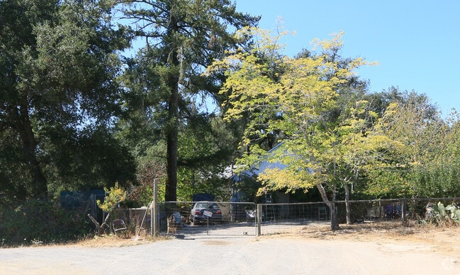
Property Record
5660 Thomas Rd, Sebastopol, CA 95472


Property Detail
5660 Thomas Rd
104-020-020
MAP B4 126
Vineyard
Sonoma
DA20
California
B and X Area of moderate flood hazard, usually the area between the limits of the 100-year and 500-year floods.
58.41 AC
2025
Sebastopol/Bodega/West
2025
North Bay/Santa Rosa
153711
Santa Rosa-Petaluma, CA
3,376 SF
NEARBY LISTINGS FOR SALE OR LEASE
-
-
View all Sebastopol listings for sale on LoopNet.com
DEMOGRAPHICS near 5660 Thomas Rd
1 mile
3 mile
5 mile
2025 Total Population
313
6,544
14,109
2030 Population
287
6,183
13,514
Pop Growth 2025-2030
(8.31%)
(5.52%)
(4.22%)
Average Age
48
49
49
2025 Total Households
128
2,713
5,958
HH Growth 2025-2030
(7.81%)
(5.57%)
(4.08%)
Median Household Inc
$94,530
$120,695
$106,706
Avg Household Size
2.30
2.30
2.30
2025 Avg HH Vehicles
2.00
2.00
2.00
Median Home Value
$982,557
$874,130
$882,630
Median Year Built
1968
1967
1968
Nearby Places
Map Layers
Map Styles
 Street
 Aerial
Layers
 Traffic
 Biking
Places
Listings with unknown addresses are not visible on the map
- Restaurants
- Banks
- Shops
- Fitness
- Groceries
PUBLIC TRANSPORTATION
AIRPORT
Charles M Schulz - Sonoma County
Drive
Walk
Distance
Charles M Schulz - Sonoma County
31 min
15.0 mi
Freight Ports
Port of Richmond
Drive
Walk
Distance
Port of Richmond
81 min
56.4 mi
Nearby Properties
Address
Land Use
TOTAL SIZE
Lot Size
Zoning
Address
Land Use
TOTAL SIZE
Lot Size
Zoning
30.04 AC
Address
Land Use
TOTAL SIZE
Lot Size
Zoning
22,517 SF
12.51 AC
DA20
Address
Land Use
TOTAL SIZE
Lot Size
Zoning
4,464 SF
19.16 AC
DA20
Address
Land Use
TOTAL SIZE
Lot Size
Zoning
14,962 SF
20.02 AC
Address
Land Use
TOTAL SIZE
Lot Size
Zoning
360 SF
14 AC
RRD160
Address
Land Use
TOTAL SIZE
Lot Size
Zoning
9.97 AC
Address
Land Use
TOTAL SIZE
Lot Size
Zoning
3,672 SF
16.30 AC
LIA40
Address
Land Use
TOTAL SIZE
Lot Size
Zoning
43.67 AC
Address
Land Use
TOTAL SIZE
Lot Size
Zoning
2,238 SF
3.50 AC
Address
Land Use
TOTAL SIZE
Lot Size
Zoning
20,296 SF
8.55 AC
LCF2
Address
Land Use
TOTAL SIZE
Lot Size
Zoning
1,040 SF
55.57 AC
DA20
Address
Land Use
TOTAL SIZE
Lot Size
Zoning
2,883 SF
17.42 AC
DA10
Address
Land Use
TOTAL SIZE
Lot Size
Zoning
3,050 SF
6.69 AC
Address
Land Use
TOTAL SIZE
Lot Size
Zoning
12,850 SF
75.77 AC
LEA120
Address
Land Use
TOTAL SIZE
Lot Size
Zoning
2,796 SF
42.62 AC
DA10
Address
Land Use
TOTAL SIZE
Lot Size
Zoning
4,603 SF
10.61 AC
Address
Land Use
TOTAL SIZE
Lot Size
Zoning
2,784 SF
20.31 AC
DA10
Address
Land Use
TOTAL SIZE
Lot Size
Zoning
45.26 AC
Address
Land Use
TOTAL SIZE
Lot Size
Zoning
4,314 SF
167.10 AC
DA20
Address
Land Use
TOTAL SIZE
Lot Size
Zoning
39,288 SF
1.14 AC
M1
Address
Land Use
TOTAL SIZE
Lot Size
Zoning
251.91 AC
Address
Land Use
TOTAL SIZE
Lot Size
Zoning
2,387 SF
12.15 AC
DA10
Address
Land Use
TOTAL SIZE
Lot Size
Zoning
2,466 SF
70.90 AC
RRD160
Address
Land Use
TOTAL SIZE
Lot Size
Zoning
2,491 SF
25.91 AC
DA20
Address
Land Use
TOTAL SIZE
Lot Size
Zoning
2,073 SF
428 AC
DA20
Address
Land Use
TOTAL SIZE
Lot Size
Zoning
7,853 SF
0.47 AC
RR2
Address
Land Use
TOTAL SIZE
Lot Size
Zoning
8,224 SF
7.70 AC
DA20
Address
Land Use
TOTAL SIZE
Lot Size
Zoning
1,664 SF
17.77 AC
DA10
Address
Land Use
TOTAL SIZE
Lot Size
Zoning
4,600 SF
22.09 AC
DA20
The World's #1 Commercial Real Estate Marketplace
Connect with us
© 2026 CoStar Group
The information above has been obtained from sources believed reliable. While we do not doubt its accuracy we have not verified it and make no guarantee, warranty or representation about it. It is your responsibility to independently confirm its accuracy and completeness. Any projections, opinions, assumptions, or estimates used are for example only and do not represent the current or future performance of the property. The value of this transaction to you depends on tax and other factors which should be evaluated by your tax, financial, and legal advisors. You and your advisors should conduct a careful, independent investigation of the property to determine to your satisfaction the suitability of the property for your needs.