Property Record
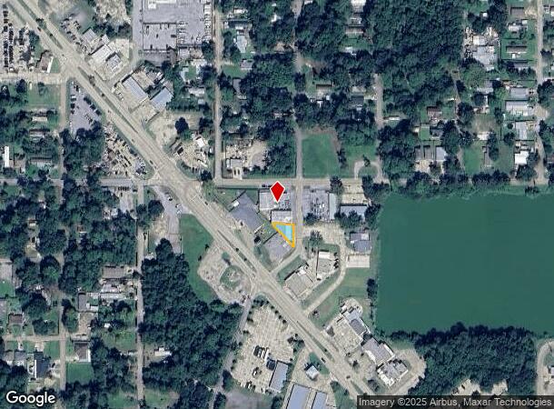
56633 Bosworth St, Slidell, LA 70458


NEARBY LISTINGS FOR SALE OR LEASE
Property Detail
56633 Bosworth St
New Orleans-Metairie, LA
Commercial Central Park
94672
LOT 19 SQ 4 CENTRAL PARK CB 911 69 CB 1150 546
Commercialnec
St Tammany
ARE
Louisiana
22071C0075F
19
2025
0.08 AC
2024
Slidell
040900
New Orleans/Metairie/Kenner
2,113 SF
DEMOGRAPHICS near 56633 Bosworth St
1 Mile
3 Mile
5 Mile
2024 Total Population
6,969
43,859
83,340
2029 Population
7,569
47,418
89,861
Pop Growth 2024-2029
+ 8.61%
+ 8.11%
+ 7.82%
Average Age
38
39
40
2024 Total Households
2,907
17,243
32,352
HH Growth 2024-2029
+ 8.94%
+ 8.15%
+ 7.84%
Median Household Inc
$36,380
$55,994
$61,393
Avg Household Size
2.30
2.50
2.50
2024 Avg HH Vehicles
2.00
2.00
2.00
Median Home Value
$163,293
$203,146
$211,251
Median Year Built
2000
1991
1989
Nearby Places
Map Layers
Map Styles
 Street
 Aerial
- Restaurants
- Banks
- Shops
- Fitness
- Groceries
PUBLIC TRANSPORTATION
COMMUTER RAIL
Slidell Amtrak Station (Crescent - Amtrak)
DRIVE
WALK
Distance
Slidell Amtrak Station (Crescent - Amtrak)
3 min
2.4 mi
Freight Ports
Port of New Orleans
DRIVE
WALK
Distance
Port of New Orleans
44 min
32.8 mi
SALE & LEASE HISTORY
LISTING DATE
SALE/LEASE

Jan 08, 2025
For Sale
Feb 20, 2024
For Sale
Apr 08, 2025
For Sale
Nearby Properties
Address
Land Use
TOTAL SIZE
Lot Size
Zoning
Address
Land Use
TOTAL SIZE
Lot Size
Zoning
318,479 SF
34.24 AC
Address
Land Use
TOTAL SIZE
Lot Size
Zoning
141,360 SF
30.70 AC
Address
Land Use
TOTAL SIZE
Lot Size
Zoning
120,000 SF
6.75 AC
Address
Land Use
TOTAL SIZE
Lot Size
Zoning
205,496 SF
27.47 AC
Address
Land Use
TOTAL SIZE
Lot Size
Zoning
151,281 SF
19.39 AC
Address
Land Use
TOTAL SIZE
Lot Size
Zoning
222,530 SF
40 AC
Address
Land Use
TOTAL SIZE
Lot Size
Zoning
197,221 SF
1.60 AC
Address
Land Use
TOTAL SIZE
Lot Size
Zoning
62,506 SF
Address
Land Use
TOTAL SIZE
Lot Size
Zoning
125,000 SF
10.84 AC
Address
Land Use
TOTAL SIZE
Lot Size
Zoning
59,987 SF
4.29 AC
Address
Land Use
TOTAL SIZE
Lot Size
Zoning
122,475 SF
12.88 AC
Address
Land Use
TOTAL SIZE
Lot Size
Zoning
127,681 SF
3 AC
Address
Land Use
TOTAL SIZE
Lot Size
Zoning
106,115 SF
4.29 AC
Address
Land Use
TOTAL SIZE
Lot Size
Zoning
105,733 SF
8.08 AC
Address
Land Use
TOTAL SIZE
Lot Size
Zoning
107,853 SF
8.97 AC
Address
Land Use
TOTAL SIZE
Lot Size
Zoning
105,633 SF
11 AC
Address
Land Use
TOTAL SIZE
Lot Size
Zoning
103,645 SF
20 AC
Address
Land Use
TOTAL SIZE
Lot Size
Zoning
53,331 SF
1.75 AC
Address
Land Use
TOTAL SIZE
Lot Size
Zoning
118,344 SF
Address
Land Use
TOTAL SIZE
Lot Size
Zoning
144,674 SF
13.10 AC
Address
Land Use
TOTAL SIZE
Lot Size
Zoning
55,001 SF
1.90 AC
Address
Land Use
TOTAL SIZE
Lot Size
Zoning
107,626 SF
0.50 AC
Address
Land Use
TOTAL SIZE
Lot Size
Zoning
142,482 SF
1.23 AC
Address
Land Use
TOTAL SIZE
Lot Size
Zoning
85,000 SF
12.23 AC
Address
Land Use
TOTAL SIZE
Lot Size
Zoning
80,737 SF
8.06 AC
Address
Land Use
TOTAL SIZE
Lot Size
Zoning
2,448 SF
2.53 AC
Address
Land Use
TOTAL SIZE
Lot Size
Zoning
115,568 SF
0.21 AC
Address
Land Use
TOTAL SIZE
Lot Size
Zoning
73,519 SF
6.97 AC
Address
Land Use
TOTAL SIZE
Lot Size
Zoning
115,666 SF
9.14 AC
Address
Land Use
TOTAL SIZE
Lot Size
Zoning
104,702 SF
11.69 AC
The World's #1 Commercial Real Estate Marketplace
Connect with us
© 2025 CoStar Group
The information above has been obtained from sources believed reliable. While we do not doubt its accuracy we have not verified it and make no guarantee, warranty or representation about it. It is your responsibility to independently confirm its accuracy and completeness. Any projections, opinions, assumptions, or estimates used are for example only and do not represent the current or future performance of the property. The value of this transaction to you depends on tax and other factors which should be evaluated by your tax, financial, and legal advisors. You and your advisors should conduct a careful, independent investigation of the property to determine to your satisfaction the suitability of the property for your needs.