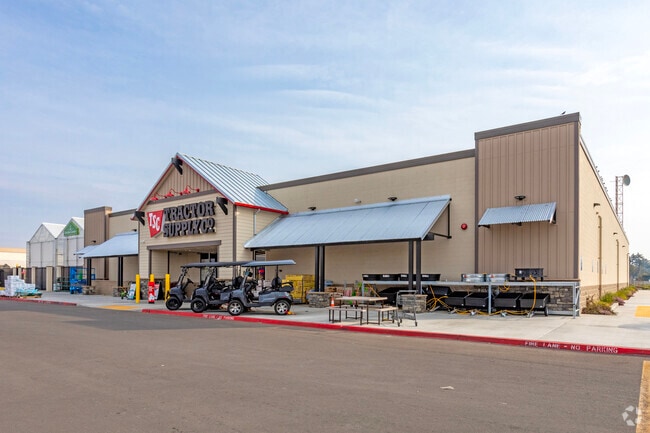
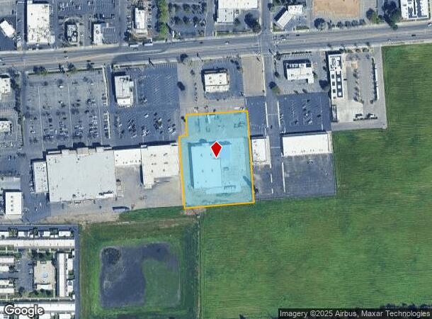
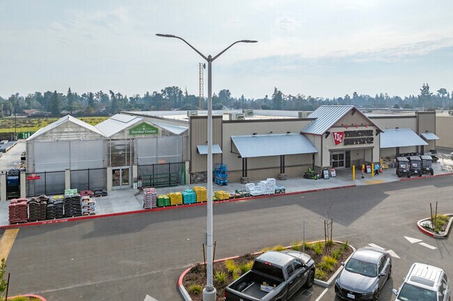
Property Record
5674 E Kings Canyon Rd, Fresno, CA 93727

NEARBY LISTINGS FOR SALE OR LEASE
Property Detail
5674 E Kings Canyon Rd
Fresno, CA
2311 Sunnywood #3
474-030-54
2.83 AC PARCEL 9 TRACT NO 2311
Storebuilding
Fresno
X
California
06019C2130H
175
2025
2.83 AC
2025
Southeast Fresno
001418
Fresno
23,749 SF
DEMOGRAPHICS near 5674 E Kings Canyon Rd
1 Mile
3 Mile
5 Mile
2024 Total Population
14,526
102,200
233,109
2029 Population
14,883
104,690
238,509
Pop Growth 2024-2029
+ 2.46%
+ 2.44%
+ 2.32%
Average Age
34
34
34
2024 Total Households
4,467
28,846
68,058
HH Growth 2024-2029
+ 2.46%
+ 2.47%
+ 2.35%
Median Household Inc
$63,264
$59,440
$56,827
Avg Household Size
3.20
3.40
3.30
2024 Avg HH Vehicles
2.00
2.00
2.00
Median Home Value
$350,000
$308,992
$301,570
Median Year Built
1977
1981
1975
Nearby Places
Map Layers
Map Styles
 Street
 Aerial
- Restaurants
- Banks
- Shops
- Fitness
- Groceries
PUBLIC TRANSPORTATION
AIRPORT
Fresno Yosemite International
DRIVE
WALK
Distance
Fresno Yosemite International
8 min
3.7 mi
SALE & LEASE HISTORY
LISTING DATE
SALE/LEASE

Jun 06, 2024
For Sale
Nearby Properties
Address
Land Use
TOTAL SIZE
Lot Size
Zoning
Address
Land Use
TOTAL SIZE
Lot Size
Zoning
74,499 SF
17.48 AC
M3
Address
Land Use
TOTAL SIZE
Lot Size
Zoning
2,008 SF
20.14 AC
M1
Address
Land Use
TOTAL SIZE
Lot Size
Zoning
202,149 SF
27.56 AC
SPLIT
Address
Land Use
TOTAL SIZE
Lot Size
Zoning
216,342 SF
28.49 AC
Address
Land Use
TOTAL SIZE
Lot Size
Zoning
385,529 SF
29.36 AC
R2
Address
Land Use
TOTAL SIZE
Lot Size
Zoning
372,862 SF
42.43 AC
R1
Address
Land Use
TOTAL SIZE
Lot Size
Zoning
116,349 SF
16.56 AC
CP
Address
Land Use
TOTAL SIZE
Lot Size
Zoning
60,227 SF
4.72 AC
M1
Address
Land Use
TOTAL SIZE
Lot Size
Zoning
194,109 SF
19.42 AC
C3
Address
Land Use
TOTAL SIZE
Lot Size
Zoning
175,310 SF
19.22 AC
CMX
Address
Land Use
TOTAL SIZE
Lot Size
Zoning
94,584 SF
10.93 AC
M1
Address
Land Use
TOTAL SIZE
Lot Size
Zoning
93,172 SF
4.97 AC
Address
Land Use
TOTAL SIZE
Lot Size
Zoning
249,126 SF
17.33 AC
SPLIT
Address
Land Use
TOTAL SIZE
Lot Size
Zoning
319,790 SF
41.15 AC
R1
Address
Land Use
TOTAL SIZE
Lot Size
Zoning
190,006 SF
19.35 AC
RM1
Address
Land Use
TOTAL SIZE
Lot Size
Zoning
102,765 SF
8.90 AC
M1
Address
Land Use
TOTAL SIZE
Lot Size
Zoning
212,113 SF
13.21 AC
R3
Address
Land Use
TOTAL SIZE
Lot Size
Zoning
119,914 SF
4.50 AC
CMX
Address
Land Use
TOTAL SIZE
Lot Size
Zoning
226,937 SF
20.15 AC
SPLIT
Address
Land Use
TOTAL SIZE
Lot Size
Zoning
26,978 SF
2.25 AC
Address
Land Use
TOTAL SIZE
Lot Size
Zoning
95,932 SF
10.98 AC
C3
Address
Land Use
TOTAL SIZE
Lot Size
Zoning
59,073 SF
2.66 AC
CM
Address
Land Use
TOTAL SIZE
Lot Size
Zoning
76,720 SF
10.78 AC
Address
Land Use
TOTAL SIZE
Lot Size
Zoning
108,512 SF
9.92 AC
R2
Address
Land Use
TOTAL SIZE
Lot Size
Zoning
97,174 SF
10.17 AC
C2
Address
Land Use
TOTAL SIZE
Lot Size
Zoning
196,830 SF
8.43 AC
SPLIT
Address
Land Use
TOTAL SIZE
Lot Size
Zoning
53,878 SF
1.99 AC
CM
Address
Land Use
TOTAL SIZE
Lot Size
Zoning
178,104 SF
8.76 AC
SPLIT
Address
Land Use
TOTAL SIZE
Lot Size
Zoning
69,015 SF
8.15 AC
C1
Address
Land Use
TOTAL SIZE
Lot Size
Zoning
20,038 SF
2 AC
CP
The World's #1 Commercial Real Estate Marketplace
Connect with us
© 2026 CoStar Group
The information above has been obtained from sources believed reliable. While we do not doubt its accuracy we have not verified it and make no guarantee, warranty or representation about it. It is your responsibility to independently confirm its accuracy and completeness. Any projections, opinions, assumptions, or estimates used are for example only and do not represent the current or future performance of the property. The value of this transaction to you depends on tax and other factors which should be evaluated by your tax, financial, and legal advisors. You and your advisors should conduct a careful, independent investigation of the property to determine to your satisfaction the suitability of the property for your needs.