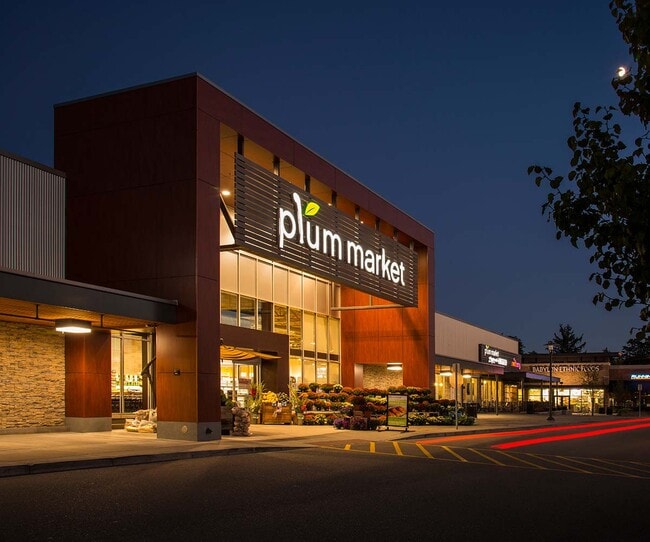
Property Record
5675 W Maple Rd, West Bloomfield, MI 48322

Property Detail
5675 W Maple Rd
18-35-101-027
T2N, R9E, SEC 35 PART OF NW 1/4 BEG AT PT DIST N 89-34-00 E 60 FT & S 60 FTFROM NW SEC COR, TH N 89-34-00 E 611.05 FT, TH S 608 FT, TH S 89-34-00 W 351.05 FT, TH S 150 FT, TH S 89-34-00 W 259.97 FT, TH N 758 FT TO BEG 9.42 A
Communitycenter
OAKLAND
BI
Michigan
B and X Area of moderate flood hazard, usually the area between the limits of the 100-year and 500-year floods.
9.42 AC
2025
Bloomfield West
2025
Detroit
156900
Detroit-Warren-Dearborn, MI
97,626 SF
NEARBY LISTINGS FOR SALE OR LEASE
DEMOGRAPHICS near 5675 W Maple Rd
1 mile
3 mile
5 mile
2025 Total Population
8,813
62,281
150,834
2030 Population
9,009
63,297
153,728
Pop Growth 2025-2030
+ 2.22%
+ 1.63%
+ 1.92%
Average Age
44
45
45
2025 Total Households
3,528
24,185
60,044
HH Growth 2025-2030
+ 2.72%
+ 1.81%
+ 2.06%
Median Household Inc
$126,711
$123,484
$118,121
Avg Household Size
2.50
2.50
2.40
2025 Avg HH Vehicles
2.00
2.00
2.00
Median Home Value
$376,722
$417,666
$427,566
Median Year Built
1974
1976
1976
Nearby Places
Map Layers
Map Styles
 Street
 Aerial
Layers
 Traffic
 Biking
Places
Listings with unknown addresses are not visible on the map
- Restaurants
- Banks
- Shops
- Fitness
- Groceries
PUBLIC TRANSPORTATION
COMMUTER RAIL
Pontiac Amtrak Station (Wolverine - Amtrak)
Drive
Walk
Distance
Pontiac Amtrak Station (Wolverine - Amtrak)
17 min
8.5 mi
Troy Amtrak Station (Wolverine - Amtrak)
Drive
Walk
Distance
Troy Amtrak Station (Wolverine - Amtrak)
19 min
9.0 mi
AIRPORT
Detroit Metro Wayne County
Drive
Walk
Distance
Detroit Metro Wayne County
41 min
32.1 mi
Windsor International
Drive
Walk
Distance
Windsor International
55 min
32.9 mi
Freight Ports
Port of Toledo
Drive
Walk
Distance
Port of Toledo
91 min
73.7 mi
Nearby Properties
Address
Land Use
TOTAL SIZE
Lot Size
Zoning
Address
Land Use
TOTAL SIZE
Lot Size
Zoning
308,794 SF
76.30 AC
RI
Address
Land Use
TOTAL SIZE
Lot Size
Zoning
45,893 SF
5.62 AC
AI
Address
Land Use
TOTAL SIZE
Lot Size
Zoning
121,382 SF
10.84 AC
BI
Address
Land Use
TOTAL SIZE
Lot Size
Zoning
427,062 SF
31.20 AC
AI
Address
Land Use
TOTAL SIZE
Lot Size
Zoning
411,118 SF
43.95 AC
AI
Address
Land Use
TOTAL SIZE
Lot Size
Zoning
315,206 SF
3.85 AC
AI
Address
Land Use
TOTAL SIZE
Lot Size
Zoning
204,652 SF
9.62 AC
BI
Address
Land Use
TOTAL SIZE
Lot Size
Zoning
271,650 SF
12.88 AC
BI
Address
Land Use
TOTAL SIZE
Lot Size
Zoning
352,098 SF
28.94 AC
BI
Address
Land Use
TOTAL SIZE
Lot Size
Zoning
Address
Land Use
TOTAL SIZE
Lot Size
Zoning
246,695 SF
18.46 AC
BI
Address
Land Use
TOTAL SIZE
Lot Size
Zoning
260,330 SF
21.04 AC
AI
Address
Land Use
TOTAL SIZE
Lot Size
Zoning
276,825 SF
19.05 AC
AI
Address
Land Use
TOTAL SIZE
Lot Size
Zoning
142,043 SF
17.87 AC
AI
Address
Land Use
TOTAL SIZE
Lot Size
Zoning
158,279 SF
3.63 AC
BI
Address
Land Use
TOTAL SIZE
Lot Size
Zoning
244,500 SF
7.80 AC
AI
Address
Land Use
TOTAL SIZE
Lot Size
Zoning
274,691 SF
19.57 AC
AI
Address
Land Use
TOTAL SIZE
Lot Size
Zoning
167,790 SF
13.33 AC
BI
Address
Land Use
TOTAL SIZE
Lot Size
Zoning
89,878 SF
11.31 AC
BI
Address
Land Use
TOTAL SIZE
Lot Size
Zoning
243,820 SF
19.71 AC
AI
Address
Land Use
TOTAL SIZE
Lot Size
Zoning
253,037 SF
16.97 AC
AI
Address
Land Use
TOTAL SIZE
Lot Size
Zoning
139,227 SF
13.13 AC
BI
Address
Land Use
TOTAL SIZE
Lot Size
Zoning
102,093 SF
4.44 AC
BI
Address
Land Use
TOTAL SIZE
Lot Size
Zoning
198,917 SF
13.17 AC
AI
Address
Land Use
TOTAL SIZE
Lot Size
Zoning
66,230 SF
6 AC
BI
Address
Land Use
TOTAL SIZE
Lot Size
Zoning
87,292 SF
2 AC
BI
Address
Land Use
TOTAL SIZE
Lot Size
Zoning
41,338 SF
3.99 AC
BI
Address
Land Use
TOTAL SIZE
Lot Size
Zoning
Address
Land Use
TOTAL SIZE
Lot Size
Zoning
47,573 SF
3.83 AC
BI
The World's #1 Commercial Real Estate Marketplace
Connect with us
© 2026 CoStar Group
The information above has been obtained from sources believed reliable. While we do not doubt its accuracy we have not verified it and make no guarantee, warranty or representation about it. It is your responsibility to independently confirm its accuracy and completeness. Any projections, opinions, assumptions, or estimates used are for example only and do not represent the current or future performance of the property. The value of this transaction to you depends on tax and other factors which should be evaluated by your tax, financial, and legal advisors. You and your advisors should conduct a careful, independent investigation of the property to determine to your satisfaction the suitability of the property for your needs.