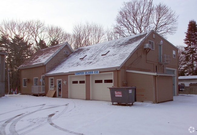
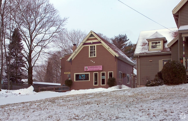
Property Record
568A Broadway, Raynham, MA 02767

Property Detail
568A Broadway
RAYN-000004-000003-A000000
BRISTOL
Storebuilding
Massachusetts
B and X Area of moderate flood hazard, usually the area between the limits of the 100-year and 500-year floods.
a
2025
0.27 AC
2025
Attleboro/New Bedford
612100
Boston
3,745 SF
Providence-Warwick, RI-MA
NEARBY LISTINGS FOR SALE OR LEASE
DEMOGRAPHICS near 568A Broadway
1 mile
3 mile
5 mile
2025 Total Population
3,179
30,105
78,081
2030 Population
3,228
30,620
79,467
Pop Growth 2025-2030
+ 1.54%
+ 1.71%
+ 1.78%
Average Age
44
42
42
2025 Total Households
1,259
12,028
30,644
HH Growth 2025-2030
+ 1.59%
+ 1.71%
+ 1.80%
Median Household Inc
$99,889
$79,753
$83,808
Avg Household Size
2.50
2.40
2.50
2025 Avg HH Vehicles
2.00
2.00
2.00
Median Home Value
$577,218
$469,245
$465,465
Median Year Built
1983
1968
1973
Nearby Places
Map Layers
Map Styles
 Street
 Aerial
Transit
 Traffic
 Biking
Places
Listings with unknown addresses are not visible on the map
- Restaurants
- Banks
- Shops
- Fitness
- Groceries
PUBLIC TRANSPORTATION
COMMUTER RAIL
Bridgewater (Middleborough/Lakeville Line - Massachusetts Bay Transportation Authority Commuter Rail (Purple Line))
Drive
Walk
Distance
Bridgewater (Middleborough/Lakeville Line - Massachusetts Bay Transportation Authority Commuter Rail (Purple Line))
19 min
8.7 mi
AIRPORT
Rhode Island Tf Green International
Drive
Walk
Distance
Rhode Island Tf Green International
51 min
28.5 mi
General Edward Lawrence Logan International
Drive
Walk
Distance
General Edward Lawrence Logan International
51 min
35.7 mi
Freight Ports
Port of New Bedford Harbor
Drive
Walk
Distance
Port of New Bedford Harbor
40 min
25.9 mi
Nearby Properties
Address
Land Use
TOTAL SIZE
Lot Size
Zoning
Address
Land Use
TOTAL SIZE
Lot Size
Zoning
279,756 SF
11.62 AC
OFFDIS
Address
Land Use
TOTAL SIZE
Lot Size
Zoning
0.78 AC
Address
Land Use
TOTAL SIZE
Lot Size
Zoning
24.34 AC
Address
Land Use
TOTAL SIZE
Lot Size
Zoning
133,652 SF
2 AC
Address
Land Use
TOTAL SIZE
Lot Size
Zoning
147,285 SF
0.79 AC
CENBIZ
Address
Land Use
TOTAL SIZE
Lot Size
Zoning
157.20 AC
OPSPAC
Address
Land Use
TOTAL SIZE
Lot Size
Zoning
486,363 SF
41.18 AC
INDUST
Address
Land Use
TOTAL SIZE
Lot Size
Zoning
604,133 SF
42.73 AC
Address
Land Use
TOTAL SIZE
Lot Size
Zoning
87,591 SF
19.83 AC
Address
Land Use
TOTAL SIZE
Lot Size
Zoning
335,092 SF
27.12 AC
INDUST
Address
Land Use
TOTAL SIZE
Lot Size
Zoning
681,295 SF
65.93 AC
Address
Land Use
TOTAL SIZE
Lot Size
Zoning
149,234 SF
40.69 AC
Address
Land Use
TOTAL SIZE
Lot Size
Zoning
361,737 SF
20 AC
INDUST
Address
Land Use
TOTAL SIZE
Lot Size
Zoning
25.26 AC
INDUST
Address
Land Use
TOTAL SIZE
Lot Size
Zoning
100,000 SF
24.80 AC
Address
Land Use
TOTAL SIZE
Lot Size
Zoning
160,798 SF
14.31 AC
INDUST
Address
Land Use
TOTAL SIZE
Lot Size
Zoning
200,000 SF
14.56 AC
INDUST
Address
Land Use
TOTAL SIZE
Lot Size
Zoning
153,057 SF
13.96 AC
INDUST
Address
Land Use
TOTAL SIZE
Lot Size
Zoning
217,814 SF
11.30 AC
INDUST
Address
Land Use
TOTAL SIZE
Lot Size
Zoning
198,720 SF
15.10 AC
INDUST
Address
Land Use
TOTAL SIZE
Lot Size
Zoning
32.93 AC
BIZDIS
Address
Land Use
TOTAL SIZE
Lot Size
Zoning
114,057 SF
6.43 AC
INDUST
Address
Land Use
TOTAL SIZE
Lot Size
Zoning
8,000 SF
22.31 AC
Address
Land Use
TOTAL SIZE
Lot Size
Zoning
191,828 SF
17.09 AC
INDUST
Address
Land Use
TOTAL SIZE
Lot Size
Zoning
163,752 SF
28.17 AC
INDUST
Address
Land Use
TOTAL SIZE
Lot Size
Zoning
62,555 SF
5.09 AC
OFFDIS
Address
Land Use
TOTAL SIZE
Lot Size
Zoning
107,794 SF
12.51 AC
Address
Land Use
TOTAL SIZE
Lot Size
Zoning
96,208 SF
1.70 AC
URBRES
Address
Land Use
TOTAL SIZE
Lot Size
Zoning
76,332 SF
6.20 AC
Address
Land Use
TOTAL SIZE
Lot Size
Zoning
152,070 SF
26.26 AC
The World's #1 Commercial Real Estate Marketplace
Connect with us
© 2026 CoStar Group
The information above has been obtained from sources believed reliable. While we do not doubt its accuracy we have not verified it and make no guarantee, warranty or representation about it. It is your responsibility to independently confirm its accuracy and completeness. Any projections, opinions, assumptions, or estimates used are for example only and do not represent the current or future performance of the property. The value of this transaction to you depends on tax and other factors which should be evaluated by your tax, financial, and legal advisors. You and your advisors should conduct a careful, independent investigation of the property to determine to your satisfaction the suitability of the property for your needs.