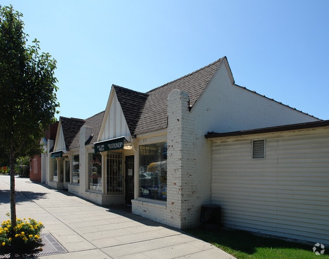
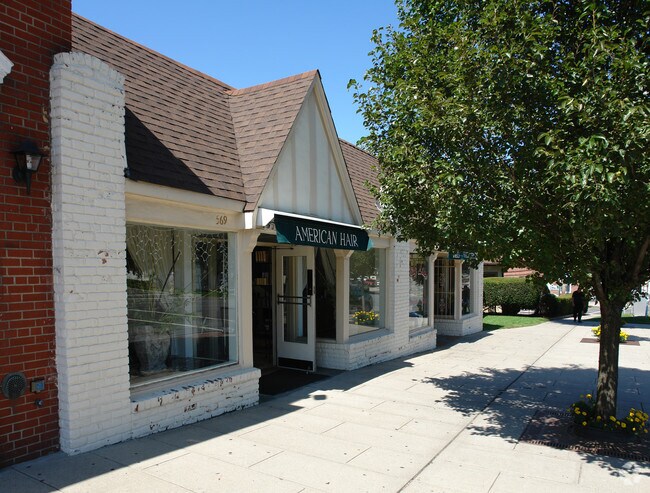
Property Record
569 N Broadway, White Plains, NY 10603
NEARBY LISTINGS FOR SALE OR LEASE
Property Detail
569 N Broadway
1700-120-020-00009-000-0003
Westchester
Storesoffices
New York
X
3.000
36119C0267F
0.17 AC
2025
East I-287 Corridor
2024
Westchester/So Connecticut
009000
New York-Jersey City-White Plains, NY-NJ
3,000 SF
DEMOGRAPHICS near 569 N Broadway
1 Mile
3 Mile
5 Mile
2024 Total Population
13,262
101,349
178,358
2029 Population
12,936
99,813
175,716
Pop Growth 2024-2029
(2.46%)
(1.52%)
(1.48%)
Average Age
42
42
42
2024 Total Households
4,909
40,051
65,898
HH Growth 2024-2029
(2.59%)
(1.46%)
(1.53%)
Median Household Inc
$131,883
$115,134
$139,855
Avg Household Size
2.60
2.40
2.60
2024 Avg HH Vehicles
2.00
2.00
2.00
Median Home Value
$554,976
$578,586
$719,702
Median Year Built
1956
1961
1960
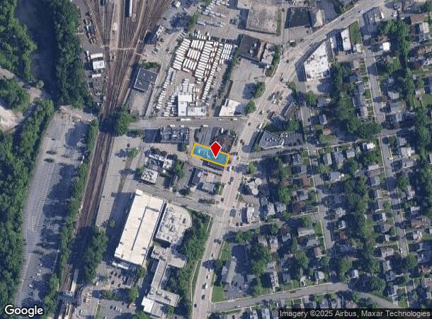
Nearby Places
Map Layers
Map Styles
 Street
 Aerial
- Restaurants
- Banks
- Shops
- Fitness
- Groceries
PUBLIC TRANSPORTATION
COMMUTER RAIL
North White Plains Station (Harlem Line - Metro-North Commuter Railroad Company (Metro-North))
DRIVE
WALK
Distance
North White Plains Station (Harlem Line - Metro-North Commuter Railroad Company (Metro-North))
1 min
6 min
0.3 mi
White Plains Station (Harlem Line - Metro-North Commuter Railroad Company (Metro-North))
DRIVE
WALK
Distance
White Plains Station (Harlem Line - Metro-North Commuter Railroad Company (Metro-North))
5 min
2.0 mi
AIRPORT
Westchester County
DRIVE
WALK
Distance
Westchester County
13 min
8.7 mi
LaGuardia
DRIVE
WALK
Distance
LaGuardia
44 min
25.0 mi
John F Kennedy International
DRIVE
WALK
Distance
John F Kennedy International
53 min
32.6 mi
Freight Ports
NY - Red Hook Container Terminal
DRIVE
WALK
Distance
NY - Red Hook Container Terminal
59 min
36.1 mi
Nearby Properties
Address
Land Use
TOTAL SIZE
Lot Size
Zoning
Address
Land Use
TOTAL SIZE
Lot Size
Zoning
358.83 AC
Address
Land Use
TOTAL SIZE
Lot Size
Zoning
4.45 AC
B
Address
Land Use
TOTAL SIZE
Lot Size
Zoning
22.92 AC
Address
Land Use
TOTAL SIZE
Lot Size
Zoning
75.87 AC
R-20
Address
Land Use
TOTAL SIZE
Lot Size
Zoning
17.17 AC
Address
Land Use
TOTAL SIZE
Lot Size
Zoning
24.66 AC
Address
Land Use
TOTAL SIZE
Lot Size
Zoning
16.22 AC
UR
Address
Land Use
TOTAL SIZE
Lot Size
Zoning
19.25 AC
Address
Land Use
TOTAL SIZE
Lot Size
Zoning
22.44 AC
R-20
Address
Land Use
TOTAL SIZE
Lot Size
Zoning
11.61 AC
Address
Land Use
TOTAL SIZE
Lot Size
Zoning
Address
Land Use
TOTAL SIZE
Lot Size
Zoning
7.98 AC
CA
Address
Land Use
TOTAL SIZE
Lot Size
Zoning
1,975 SF
13.80 AC
CA
Address
Land Use
TOTAL SIZE
Lot Size
Zoning
68,000 SF
1.53 AC
B
Address
Land Use
TOTAL SIZE
Lot Size
Zoning
1.69 AC
Address
Land Use
TOTAL SIZE
Lot Size
Zoning
29.42 AC
PUD
Address
Land Use
TOTAL SIZE
Lot Size
Zoning
10.90 AC
UR
Address
Land Use
TOTAL SIZE
Lot Size
Zoning
180,750 SF
22.03 AC
PD
Address
Land Use
TOTAL SIZE
Lot Size
Zoning
3.16 AC
Address
Land Use
TOTAL SIZE
Lot Size
Zoning
64.41 AC
R-20
Address
Land Use
TOTAL SIZE
Lot Size
Zoning
1,200 SF
21.21 AC
R-20
Address
Land Use
TOTAL SIZE
Lot Size
Zoning
7.98 AC
M-14
Address
Land Use
TOTAL SIZE
Lot Size
Zoning
0.58 AC
B
Address
Land Use
TOTAL SIZE
Lot Size
Zoning
1.78 AC
Address
Land Use
TOTAL SIZE
Lot Size
Zoning
50,000 SF
9.02 AC
PD
Address
Land Use
TOTAL SIZE
Lot Size
Zoning
96,560 SF
12.76 AC
DS
Address
Land Use
TOTAL SIZE
Lot Size
Zoning
29.14 AC
PUD
Address
Land Use
TOTAL SIZE
Lot Size
Zoning
3.56 AC
PD
Address
Land Use
TOTAL SIZE
Lot Size
Zoning
84,450 SF
3.19 AC
B
Address
Land Use
TOTAL SIZE
Lot Size
Zoning
100,000 SF
7.21 AC
PD
The World's #1 Commercial Real Estate Marketplace
Connect with us
© 2025 CoStar Group
The information above has been obtained from sources believed reliable. While we do not doubt its accuracy we have not verified it and make no guarantee, warranty or representation about it. It is your responsibility to independently confirm its accuracy and completeness. Any projections, opinions, assumptions, or estimates used are for example only and do not represent the current or future performance of the property. The value of this transaction to you depends on tax and other factors which should be evaluated by your tax, financial, and legal advisors. You and your advisors should conduct a careful, independent investigation of the property to determine to your satisfaction the suitability of the property for your needs.