Property Record
5705 Daisy St, Springfield, OR 97478

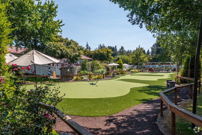

Property Detail
5705 Daisy St
Eugene-Springfield, OR
TL 01601-401
1418936
LANE
Commercialnec
Oregon
LD
1601
B and X Area of moderate flood hazard, usually the area between the limits of the 100-year and 500-year floods.
1.84 AC
2025
Lane County
2025
Portland
001801
NEARBY LISTINGS FOR SALE OR LEASE
-
-
View all Springfield listings for sale on LoopNet.com
DEMOGRAPHICS near 5705 Daisy St
1 mile
3 mile
5 mile
2025 Total Population
11,929
32,254
59,231
2030 Population
11,780
31,924
58,633
Pop Growth 2025-2030
(1.25%)
(1.02%)
(1.01%)
Average Age
41
40
41
2025 Total Households
4,571
11,920
23,126
HH Growth 2025-2030
(1.49%)
(1.13%)
(1.09%)
Median Household Inc
$69,191
$78,907
$75,663
Avg Household Size
2.50
2.60
2.50
2025 Avg HH Vehicles
2.00
2.00
2.00
Median Home Value
$342,201
$374,288
$381,885
Median Year Built
1978
1978
1974
Nearby Places
Map Layers
Map Styles
 Street
 Aerial
Transit
 Traffic
 Biking
Places
Listings with unknown addresses are not visible on the map
- Restaurants
- Banks
- Shops
- Fitness
- Groceries
PUBLIC TRANSPORTATION
COMMUTER RAIL
Eugene (Amtrak Cascades - Amtrak, Coast Starlight - Amtrak)
Drive
Walk
Distance
Eugene (Amtrak Cascades - Amtrak, Coast Starlight - Amtrak)
12 min
9.4 mi
AIRPORT
Mahlon Sweet Field
Drive
Walk
Distance
Mahlon Sweet Field
27 min
17.9 mi
Freight Ports
Port of Coos Bay, OR
Drive
Walk
Distance
Port of Coos Bay, OR
163 min
117.9 mi
Nearby Properties
Address
Land Use
TOTAL SIZE
Lot Size
Zoning
Address
Land Use
TOTAL SIZE
Lot Size
Zoning
Address
Land Use
TOTAL SIZE
Lot Size
Zoning
179 AC
E30
Address
Land Use
TOTAL SIZE
Lot Size
Zoning
50.28 AC
LD
Address
Land Use
TOTAL SIZE
Lot Size
Zoning
27.44 AC
LD
Address
Land Use
TOTAL SIZE
Lot Size
Zoning
Address
Land Use
TOTAL SIZE
Lot Size
Zoning
11.12 AC
HI
Address
Land Use
TOTAL SIZE
Lot Size
Zoning
9.19 AC
E25
Address
Land Use
TOTAL SIZE
Lot Size
Zoning
5.39 AC
LD
Address
Land Use
TOTAL SIZE
Lot Size
Zoning
3.58 AC
HD
Address
Land Use
TOTAL SIZE
Lot Size
Zoning
13.84 AC
HD
Address
Land Use
TOTAL SIZE
Lot Size
Zoning
57.39 AC
CC
Address
Land Use
TOTAL SIZE
Lot Size
Zoning
9.23 AC
LD
Address
Land Use
TOTAL SIZE
Lot Size
Zoning
18.70 AC
E30
Address
Land Use
TOTAL SIZE
Lot Size
Zoning
7.78 AC
LD
Address
Land Use
TOTAL SIZE
Lot Size
Zoning
5.88 AC
LD
Address
Land Use
TOTAL SIZE
Lot Size
Zoning
119.04 AC
E30
Address
Land Use
TOTAL SIZE
Lot Size
Zoning
5.14 AC
LD
Address
Land Use
TOTAL SIZE
Lot Size
Zoning
4.47 AC
CC
Address
Land Use
TOTAL SIZE
Lot Size
Zoning
5.09 AC
LD
Address
Land Use
TOTAL SIZE
Lot Size
Zoning
3.92 AC
CC
Address
Land Use
TOTAL SIZE
Lot Size
Zoning
8.06 AC
HD
Address
Land Use
TOTAL SIZE
Lot Size
Zoning
7.79 AC
E30
Address
Land Use
TOTAL SIZE
Lot Size
Zoning
6.58 AC
LD
Address
Land Use
TOTAL SIZE
Lot Size
Zoning
9.93 AC
LD
Address
Land Use
TOTAL SIZE
Lot Size
Zoning
5.94 AC
HI
Address
Land Use
TOTAL SIZE
Lot Size
Zoning
32.97 AC
E30
Address
Land Use
TOTAL SIZE
Lot Size
Zoning
3.49 AC
HI
Address
Land Use
TOTAL SIZE
Lot Size
Zoning
46.87 AC
E30
Address
Land Use
TOTAL SIZE
Lot Size
Zoning
5.40 AC
HI
Address
Land Use
TOTAL SIZE
Lot Size
Zoning
2.20 AC
HD
The World's #1 Commercial Real Estate Marketplace
Connect with us
© 2026 CoStar Group
The information above has been obtained from sources believed reliable. While we do not doubt its accuracy we have not verified it and make no guarantee, warranty or representation about it. It is your responsibility to independently confirm its accuracy and completeness. Any projections, opinions, assumptions, or estimates used are for example only and do not represent the current or future performance of the property. The value of this transaction to you depends on tax and other factors which should be evaluated by your tax, financial, and legal advisors. You and your advisors should conduct a careful, independent investigation of the property to determine to your satisfaction the suitability of the property for your needs.