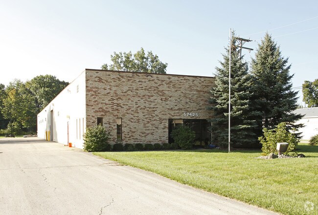
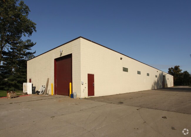
Property Record
57425 Travis Rd, New Hudson, MI 48165


NEARBY LISTINGS FOR SALE OR LEASE
Property Detail
57425 Travis Rd
21-09-276-002
T1N, R7E, SEC 9 PART OF SE 1/4 OF NE 1/4 BEG AT PT DIST S 89-33-15 W 977.80 FT FROM E 1/4 COR, TH S 89-33-15 W 155.76 FT, TH N 00-15-02 W 550.05 FT, TH N 82-46-10 E 156.92 FT, TH S 00-15-02 E 568.59 FT TO BEG 2.00 A
Manufacturinglight
Oakland
X
Michigan
26163C0025E
2 AC
2024
Central I-96 Corridor
2025
Detroit
138302
Detroit-Warren-Dearborn, MI
11,044 SF
DEMOGRAPHICS near 57425 Travis Rd
1 mile
3 mile
5 mile
2024 Total Population
3,647
23,551
59,276
2029 Population
3,608
23,541
59,095
Pop Growth 2024-2029
(1.07%)
(0.04%)
(0.31%)
Average Age
38
40
40
2024 Total Households
1,374
8,837
21,843
HH Growth 2024-2029
(1.16%)
(0.08%)
(0.46%)
Median Household Inc
$104,261
$106,337
$108,101
Avg Household Size
2.60
2.60
2.70
2024 Avg HH Vehicles
2.00
2.00
2.00
Median Home Value
$393,263
$346,573
$371,764
Median Year Built
2005
1996
1995
Nearby Places
Map Layers
Map Styles
 Street
 Aerial
Transit
 Traffic
 Biking
Places
Listings with unknown addresses are not visible on the map
- Restaurants
- Banks
- Shops
- Fitness
- Groceries
PUBLIC TRANSPORTATION
AIRPORT
Detroit Metro Wayne County
Drive
Walk
Distance
Detroit Metro Wayne County
47 min
36.9 mi
Bishop International
Drive
Walk
Distance
Bishop International
57 min
42.2 mi
Windsor International
Drive
Walk
Distance
Windsor International
70 min
46.3 mi
Nearby Properties
Address
Land Use
TOTAL SIZE
Lot Size
Zoning
Address
Land Use
TOTAL SIZE
Lot Size
Zoning
Address
Land Use
TOTAL SIZE
Lot Size
Zoning
433,305 SF
19.63 AC
Address
Land Use
TOTAL SIZE
Lot Size
Zoning
317,215 SF
23.63 AC
Address
Land Use
TOTAL SIZE
Lot Size
Zoning
45.18 AC
AI
Address
Land Use
TOTAL SIZE
Lot Size
Zoning
325,725 SF
30.46 AC
Address
Land Use
TOTAL SIZE
Lot Size
Zoning
306,804 SF
Address
Land Use
TOTAL SIZE
Lot Size
Zoning
140,366 SF
30.67 AC
II
Address
Land Use
TOTAL SIZE
Lot Size
Zoning
195,802 SF
9.87 AC
BV
Address
Land Use
TOTAL SIZE
Lot Size
Zoning
172,700 SF
Address
Land Use
TOTAL SIZE
Lot Size
Zoning
154,490 SF
Address
Land Use
TOTAL SIZE
Lot Size
Zoning
287,382 SF
42.91 AC
II
Address
Land Use
TOTAL SIZE
Lot Size
Zoning
154,490 SF
Address
Land Use
TOTAL SIZE
Lot Size
Zoning
286,708 SF
Address
Land Use
TOTAL SIZE
Lot Size
Zoning
223,110 SF
18.53 AC
BI
Address
Land Use
TOTAL SIZE
Lot Size
Zoning
325,725 SF
Address
Land Use
TOTAL SIZE
Lot Size
Zoning
150,217 SF
10.22 AC
IV
Address
Land Use
TOTAL SIZE
Lot Size
Zoning
9,784 SF
68.90 AC
MM
Address
Land Use
TOTAL SIZE
Lot Size
Zoning
148,298 SF
20.43 AC
Address
Land Use
TOTAL SIZE
Lot Size
Zoning
66,070 SF
Address
Land Use
TOTAL SIZE
Lot Size
Zoning
117,308 SF
Address
Land Use
TOTAL SIZE
Lot Size
Zoning
167,616 SF
39.18 AC
Address
Land Use
TOTAL SIZE
Lot Size
Zoning
154,500 SF
11.64 AC
II
Address
Land Use
TOTAL SIZE
Lot Size
Zoning
93,109 SF
8.63 AC
RI
Address
Land Use
TOTAL SIZE
Lot Size
Zoning
286,708 SF
33.46 AC
Address
Land Use
TOTAL SIZE
Lot Size
Zoning
101,749 SF
8.51 AC
Address
Land Use
TOTAL SIZE
Lot Size
Zoning
137,373 SF
16.51 AC
AI
Address
Land Use
TOTAL SIZE
Lot Size
Zoning
107,850 SF
21.38 AC
Address
Land Use
TOTAL SIZE
Lot Size
Zoning
132,821 SF
13.48 AC
BI
Address
Land Use
TOTAL SIZE
Lot Size
Zoning
32,826 SF
22.12 AC
BI
Address
Land Use
TOTAL SIZE
Lot Size
Zoning
167,616 SF
20.53 AC
ME
The World's #1 Commercial Real Estate Marketplace
Connect with us
© 2026 CoStar Group
The information above has been obtained from sources believed reliable. While we do not doubt its accuracy we have not verified it and make no guarantee, warranty or representation about it. It is your responsibility to independently confirm its accuracy and completeness. Any projections, opinions, assumptions, or estimates used are for example only and do not represent the current or future performance of the property. The value of this transaction to you depends on tax and other factors which should be evaluated by your tax, financial, and legal advisors. You and your advisors should conduct a careful, independent investigation of the property to determine to your satisfaction the suitability of the property for your needs.