Property Record
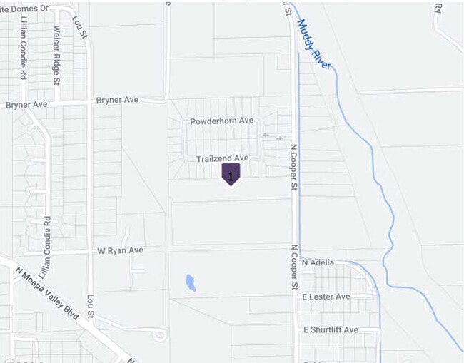
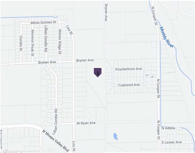
575 N Cooper St, Overton, NV 89040
Property Detail
575 N Cooper St
070-12-801-013
PT SW4 SE4 SEC 12 16 67
Vacantlandnec
CLARK
RA
Nevada
AE The base floodplain where base flood elevations are provided. AE Zones are now used on new format FIRMs instead of A1-A30 Zones.
4.90 AC
2026
Outlying NE Clark County
2026
Las Vegas
005613
Las Vegas-Henderson-North Las Vegas, NV
NEARBY LISTINGS FOR SALE OR LEASE
DEMOGRAPHICS near 575 N Cooper St
1 mile
3 mile
5 mile
2025 Total Population
1,312
2,995
4,682
2030 Population
1,297
2,940
4,595
Pop Growth 2025-2030
(1.14%)
(1.84%)
(1.86%)
Average Age
43
42
41
2025 Total Households
526
1,135
1,662
HH Growth 2025-2030
(0.95%)
(1.76%)
(1.81%)
Median Household Inc
$68,437
$82,536
$93,226
Avg Household Size
2.50
2.60
2.80
2025 Avg HH Vehicles
2.00
2.00
2.00
Median Home Value
$331,507
$416,667
$459,090
Median Year Built
1984
1987
1989
Nearby Places
Map Layers
Map Styles
 Street
 Aerial
Layers
 Traffic
 Biking
Places
Listings with unknown addresses are not visible on the map
- Restaurants
- Banks
- Shops
- Fitness
- Groceries
SALE & LEASE HISTORY
LISTING DATE
SALE/LEASE

Jan 29, 2024
For Sale
Aug 02, 2023
For Sale
Aug 02, 2023
For Sale
Aug 02, 2023
For Sale
Aug 02, 2023
For Sale
Aug 02, 2023
For Sale
Aug 02, 2023
For Sale
Aug 02, 2023
For Sale
Aug 02, 2023
For Sale
Aug 02, 2023
For Sale
Nearby Properties
Address
Land Use
TOTAL SIZE
Lot Size
Zoning
Address
Land Use
TOTAL SIZE
Lot Size
Zoning
17.62 AC
M1
Address
Land Use
TOTAL SIZE
Lot Size
Zoning
20.77 AC
PF
Address
Land Use
TOTAL SIZE
Lot Size
Zoning
2.15 AC
RU
Address
Land Use
TOTAL SIZE
Lot Size
Zoning
29,437 SF
21.10 AC
M1
Address
Land Use
TOTAL SIZE
Lot Size
Zoning
9,835 SF
2.37 AC
PF
Address
Land Use
TOTAL SIZE
Lot Size
Zoning
25,836 SF
5.51 AC
C2
Address
Land Use
TOTAL SIZE
Lot Size
Zoning
23,164 SF
3.07 AC
C2
Address
Land Use
TOTAL SIZE
Lot Size
Zoning
792 SF
2.20 AC
R3
Address
Land Use
TOTAL SIZE
Lot Size
Zoning
16,401 SF
2.40 AC
R3
Address
Land Use
TOTAL SIZE
Lot Size
Zoning
15,992 SF
4.12 AC
RU
Address
Land Use
TOTAL SIZE
Lot Size
Zoning
7,248 SF
1.42 AC
C2
Address
Land Use
TOTAL SIZE
Lot Size
Zoning
8,369 SF
11.75 AC
C2
Address
Land Use
TOTAL SIZE
Lot Size
Zoning
6,512 SF
2.03 AC
CP
Address
Land Use
TOTAL SIZE
Lot Size
Zoning
13,471 SF
3.09 AC
M1
Address
Land Use
TOTAL SIZE
Lot Size
Zoning
8,000 SF
0.65 AC
C2
Address
Land Use
TOTAL SIZE
Lot Size
Zoning
17,344 SF
1.68 AC
R1
Address
Land Use
TOTAL SIZE
Lot Size
Zoning
9,912 SF
0.40 AC
R4
Address
Land Use
TOTAL SIZE
Lot Size
Zoning
20,358 SF
1.96 AC
M1
Address
Land Use
TOTAL SIZE
Lot Size
Zoning
30,000 SF
38.04 AC
PF
Address
Land Use
TOTAL SIZE
Lot Size
Zoning
17,625 SF
1.38 AC
C2
Address
Land Use
TOTAL SIZE
Lot Size
Zoning
65.62 AC
PF
Address
Land Use
TOTAL SIZE
Lot Size
Zoning
4,216 SF
18.48 AC
RU
Address
Land Use
TOTAL SIZE
Lot Size
Zoning
4,004 SF
2.04 AC
CP
Address
Land Use
TOTAL SIZE
Lot Size
Zoning
2,436 SF
0.81 AC
C2
Address
Land Use
TOTAL SIZE
Lot Size
Zoning
16,000 SF
7.96 AC
M1
Address
Land Use
TOTAL SIZE
Lot Size
Zoning
2,372 SF
0.74 AC
C2
Address
Land Use
TOTAL SIZE
Lot Size
Zoning
4,519 SF
0.99 AC
C2
Address
Land Use
TOTAL SIZE
Lot Size
Zoning
4,596 SF
1.99 AC
RU
Address
Land Use
TOTAL SIZE
Lot Size
Zoning
9,254 SF
0.88 AC
PF
Address
Land Use
TOTAL SIZE
Lot Size
Zoning
4,640 SF
1.84 AC
PF
The World's #1 Commercial Real Estate Marketplace
Connect with us
© 2026 CoStar Group
The information above has been obtained from sources believed reliable. While we do not doubt its accuracy we have not verified it and make no guarantee, warranty or representation about it. It is your responsibility to independently confirm its accuracy and completeness. Any projections, opinions, assumptions, or estimates used are for example only and do not represent the current or future performance of the property. The value of this transaction to you depends on tax and other factors which should be evaluated by your tax, financial, and legal advisors. You and your advisors should conduct a careful, independent investigation of the property to determine to your satisfaction the suitability of the property for your needs.