Property Record
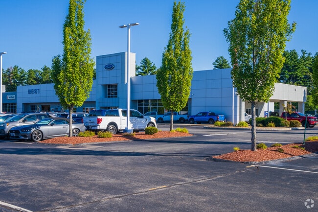
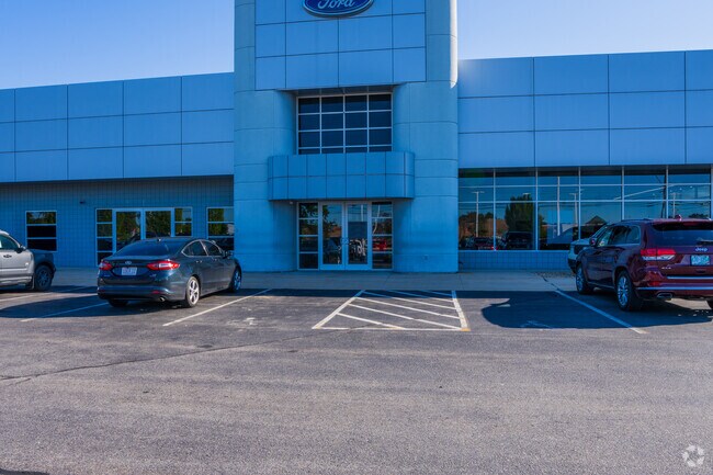
579 Amherst St, Nashua, NH 03063
NEARBY LISTINGS FOR SALE OR LEASE
Property Detail
579 Amherst St
NASH-000000-000000-000627H
Hillsborough
Vehiclerentalsvehiclesales
New Hampshire
AE
627
33011C0491D
15.89 AC
2024
Hillsborough
2024
Boston
010202
Manchester-Nashua, NH
34,844 SF
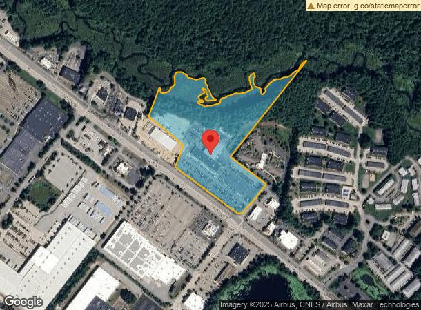
DEMOGRAPHICS near 579 Amherst St
1 Mile
3 Mile
5 Mile
2024 Total Population
3,596
22,626
86,968
2029 Population
3,787
23,280
89,065
Pop Growth 2024-2029
+ 5.31%
+ 2.89%
+ 2.41%
Average Age
42
42
42
2024 Total Households
1,611
9,355
35,662
HH Growth 2024-2029
+ 5.65%
+ 2.99%
+ 2.44%
Median Household Inc
$87,866
$113,304
$95,252
Avg Household Size
2.20
2.40
2.40
2024 Avg HH Vehicles
2.00
2.00
2.00
Median Home Value
$342,419
$390,507
$372,835
Median Year Built
1985
1982
1977
Nearby Places
Map Layers
Map Styles
 Street
 Aerial
- Restaurants
- Banks
- Shops
- Fitness
- Groceries
PUBLIC TRANSPORTATION
AIRPORT
Manchester Boston Regional
DRIVE
WALK
Distance
Manchester Boston Regional
24 min
13.2 mi
General Edward Lawrence Logan International
DRIVE
WALK
Distance
General Edward Lawrence Logan International
69 min
46.9 mi
Freight Ports
Port of Boston
DRIVE
WALK
Distance
Port of Boston
70 min
46.6 mi
Nearby Properties
Address
Land Use
TOTAL SIZE
Lot Size
Zoning
Address
Land Use
TOTAL SIZE
Lot Size
Zoning
29,295 SF
143.99 AC
INDUST
Address
Land Use
TOTAL SIZE
Lot Size
Zoning
325.08 AC
AI
Address
Land Use
TOTAL SIZE
Lot Size
Zoning
6.28 AC
INDUST
Address
Land Use
TOTAL SIZE
Lot Size
Zoning
576,827 SF
446.22 AC
INDUST
Address
Land Use
TOTAL SIZE
Lot Size
Zoning
621,927 SF
106.62 AC
INDUST
Address
Land Use
TOTAL SIZE
Lot Size
Zoning
16.12 AC
RC
Address
Land Use
TOTAL SIZE
Lot Size
Zoning
15,975 SF
195.68 AC
INDUST
Address
Land Use
TOTAL SIZE
Lot Size
Zoning
183,432 SF
16.40 AC
GB
Address
Land Use
TOTAL SIZE
Lot Size
Zoning
124,048 SF
23.43 AC
PI
Address
Land Use
TOTAL SIZE
Lot Size
Zoning
259,644 SF
42.18 AC
RR
Address
Land Use
TOTAL SIZE
Lot Size
Zoning
66 AC
R18
Address
Land Use
TOTAL SIZE
Lot Size
Zoning
337,000 SF
24.26 AC
PI
Address
Land Use
TOTAL SIZE
Lot Size
Zoning
326,755 SF
43 AC
INDUST
Address
Land Use
TOTAL SIZE
Lot Size
Zoning
123,648 SF
135.87 AC
INDUST
Address
Land Use
TOTAL SIZE
Lot Size
Zoning
9.50 AC
AI
Address
Land Use
TOTAL SIZE
Lot Size
Zoning
130,178 SF
11.07 AC
GB
Address
Land Use
TOTAL SIZE
Lot Size
Zoning
360,491 SF
40.23 AC
IND
Address
Land Use
TOTAL SIZE
Lot Size
Zoning
142,207 SF
4.72 AC
PI
Address
Land Use
TOTAL SIZE
Lot Size
Zoning
10.30 AC
RC
Address
Land Use
TOTAL SIZE
Lot Size
Zoning
9.01 AC
RC
Address
Land Use
TOTAL SIZE
Lot Size
Zoning
193,749 SF
54.34 AC
INDUST
Address
Land Use
TOTAL SIZE
Lot Size
Zoning
8.85 AC
RC
Address
Land Use
TOTAL SIZE
Lot Size
Zoning
8.38 AC
RC
Address
Land Use
TOTAL SIZE
Lot Size
Zoning
52.88 AC
R30
Address
Land Use
TOTAL SIZE
Lot Size
Zoning
140,258 SF
8.02 AC
PI
Address
Land Use
TOTAL SIZE
Lot Size
Zoning
398,215 SF
65.88 AC
INDUST
Address
Land Use
TOTAL SIZE
Lot Size
Zoning
125,916 SF
10.05 AC
GB
Address
Land Use
TOTAL SIZE
Lot Size
Zoning
227,260 SF
35 AC
PI
Address
Land Use
TOTAL SIZE
Lot Size
Zoning
30,406 SF
16.74 AC
INDUST
Address
Land Use
TOTAL SIZE
Lot Size
Zoning
93,448 SF
10 AC
RC
The World's #1 Commercial Real Estate Marketplace
Connect with us
© 2025 CoStar Group
The information above has been obtained from sources believed reliable. While we do not doubt its accuracy we have not verified it and make no guarantee, warranty or representation about it. It is your responsibility to independently confirm its accuracy and completeness. Any projections, opinions, assumptions, or estimates used are for example only and do not represent the current or future performance of the property. The value of this transaction to you depends on tax and other factors which should be evaluated by your tax, financial, and legal advisors. You and your advisors should conduct a careful, independent investigation of the property to determine to your satisfaction the suitability of the property for your needs.