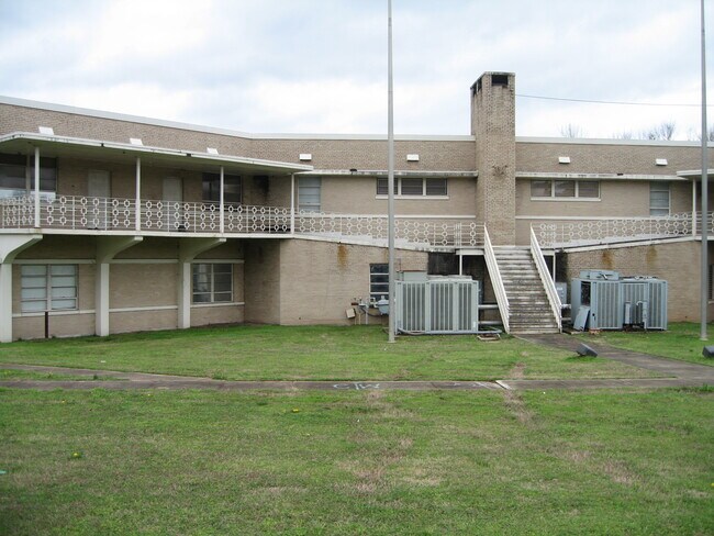
Property Record
5800 Valley Rd, Fairfield, AL 35064

NEARBY LISTINGS FOR SALE OR LEASE
Property Detail
5800 Valley Rd
30-00-11-3-002-001.000
ALL SW1/4 SEC 11 TP 18 R 4W LYING N OF BHAM SOUTHERN RR EXC THE FOL BEG AT NW COR OF SW1/4 OF SW1/4 SD SEC RUN E 874.2 FT TH S 19.9 FT TO POB TH SWLY 115.7 FT SELY 35 FT NELY 115.7 FT NWLY 35 FT TO POB ALSO EXCEPT POB 301.6 FT E OF AND 12.4 FT N OF S
Vacantlandnec
Jefferson
AE
Alabama
01073C0531G
7 AC
2023
Bessemer
2024
Birmingham
010604
Birmingham-Hoover, AL
DEMOGRAPHICS near 5800 Valley Rd
1 Mile
3 Mile
5 Mile
2024 Total Population
5,634
50,364
110,445
2029 Population
5,777
50,262
110,521
Pop Growth 2024-2029
+ 2.54%
(0.20%)
+ 0.07%
Average Age
37
41
41
2024 Total Households
1,985
20,731
45,591
HH Growth 2024-2029
+ 2.72%
(0.27%)
+ 0.08%
Median Household Inc
$41,307
$41,096
$39,396
Avg Household Size
2.40
2.30
2.30
2024 Avg HH Vehicles
1.00
2.00
2.00
Median Home Value
$74,999
$82,026
$90,352
Median Year Built
1953
1959
1963
Nearby Places
Map Layers
Map Styles
 Street
 Aerial
- Restaurants
- Banks
- Shops
- Fitness
- Groceries
SALE & LEASE HISTORY
LISTING DATE
SALE/LEASE

Feb 05, 2020
For Sale
Nearby Properties
Address
Land Use
TOTAL SIZE
Lot Size
Zoning
Address
Land Use
TOTAL SIZE
Lot Size
Zoning
1.77 AC
QO&I
Address
Land Use
TOTAL SIZE
Lot Size
Zoning
1,244,986 SF
I2
Address
Land Use
TOTAL SIZE
Lot Size
Zoning
2,573,547 SF
112 AC
I2
Address
Land Use
TOTAL SIZE
Lot Size
Zoning
127,240 SF
3.50 AC
R4
Address
Land Use
TOTAL SIZE
Lot Size
Zoning
200,650 SF
19.48 AC
R4
Address
Land Use
TOTAL SIZE
Lot Size
Zoning
116,442 SF
2.67 AC
B6
Address
Land Use
TOTAL SIZE
Lot Size
Zoning
195,495 SF
28.97 AC
B3
Address
Land Use
TOTAL SIZE
Lot Size
Zoning
191,664 SF
14.73 AC
R4
Address
Land Use
TOTAL SIZE
Lot Size
Zoning
288,000 SF
39.40 AC
I2-I
Address
Land Use
TOTAL SIZE
Lot Size
Zoning
46,155 SF
0.77 AC
R4
Address
Land Use
TOTAL SIZE
Lot Size
Zoning
101,671 SF
14.73 AC
B2
Address
Land Use
TOTAL SIZE
Lot Size
Zoning
218,210 SF
11.24 AC
CM-2
Address
Land Use
TOTAL SIZE
Lot Size
Zoning
128,484 SF
8.70 AC
QB1
Address
Land Use
TOTAL SIZE
Lot Size
Zoning
69,344 SF
2.30 AC
B-1
Address
Land Use
TOTAL SIZE
Lot Size
Zoning
66,935 SF
1.99 AC
B2
Address
Land Use
TOTAL SIZE
Lot Size
Zoning
157,183 SF
6.50 AC
B2
Address
Land Use
TOTAL SIZE
Lot Size
Zoning
65,371 SF
1.27 AC
B2
Address
Land Use
TOTAL SIZE
Lot Size
Zoning
104,775 SF
9.40 AC
B-2
Address
Land Use
TOTAL SIZE
Lot Size
Zoning
1,437,077 SF
I2
Address
Land Use
TOTAL SIZE
Lot Size
Zoning
94,026 SF
4.90 AC
I2R2
Address
Land Use
TOTAL SIZE
Lot Size
Zoning
45,666 SF
3.46 AC
R5
Address
Land Use
TOTAL SIZE
Lot Size
Zoning
96,543 SF
8.80 AC
B2
Address
Land Use
TOTAL SIZE
Lot Size
Zoning
1 SF
10.67 AC
QB1
Address
Land Use
TOTAL SIZE
Lot Size
Zoning
34,509 SF
0.52 AC
R3
Address
Land Use
TOTAL SIZE
Lot Size
Zoning
95,991 SF
4.66 AC
R5
Address
Land Use
TOTAL SIZE
Lot Size
Zoning
37,793 SF
2.57 AC
R3
Address
Land Use
TOTAL SIZE
Lot Size
Zoning
35,286 SF
0.74 AC
R4
Address
Land Use
TOTAL SIZE
Lot Size
Zoning
34,476 SF
0.98 AC
R5
Address
Land Use
TOTAL SIZE
Lot Size
Zoning
5,919 SF
0.61 AC
OI
Address
Land Use
TOTAL SIZE
Lot Size
Zoning
59,554 SF
1.37 AC
R2
The World's #1 Commercial Real Estate Marketplace
Connect with us
© 2025 CoStar Group
The information above has been obtained from sources believed reliable. While we do not doubt its accuracy we have not verified it and make no guarantee, warranty or representation about it. It is your responsibility to independently confirm its accuracy and completeness. Any projections, opinions, assumptions, or estimates used are for example only and do not represent the current or future performance of the property. The value of this transaction to you depends on tax and other factors which should be evaluated by your tax, financial, and legal advisors. You and your advisors should conduct a careful, independent investigation of the property to determine to your satisfaction the suitability of the property for your needs.