Property Record
5802 S 129Th Ave E, Tulsa, OK 74134


NEARBY LISTINGS FOR SALE OR LEASE
Property Detail
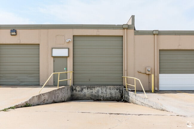
5802 S 129Th Ave E
Tulsa, OK
Metro Park
76250-94-32-08535
PRT LT 5 BEG SECR TH W450 N99.54 E450 S99.01 POB & ALL LT 6 BLK 5
Lightindustrial
Tulsa
X
Oklahoma
40143C0379L
6
2025
4.13 AC
2025
Southeast Tulsa
009013
Tulsa
74,000 SF
DEMOGRAPHICS near 5802 S 129Th Ave E
1 Mile
3 Mile
5 Mile
2024 Total Population
2,589
82,063
220,835
2029 Population
2,615
84,466
229,061
Pop Growth 2024-2029
+ 1.00%
+ 2.93%
+ 3.72%
Average Age
36
37
38
2024 Total Households
936
32,247
87,317
HH Growth 2024-2029
+ 0.75%
+ 3.03%
+ 3.77%
Median Household Inc
$69,947
$59,120
$60,803
Avg Household Size
2.70
2.50
2.50
2024 Avg HH Vehicles
2.00
2.00
2.00
Median Home Value
$173,717
$178,897
$181,160
Median Year Built
1986
1987
1983
Nearby Places
Map Layers
Map Styles
 Street
 Aerial
- Restaurants
- Banks
- Shops
- Fitness
- Groceries
PUBLIC TRANSPORTATION
AIRPORT
Tulsa International
DRIVE
WALK
Distance
Tulsa International
20 min
13.4 mi
Freight Ports
DRIVE
WALK
Distance
24 min
17.1 mi
SALE & LEASE HISTORY
LISTING DATE
SALE/LEASE

Oct 03, 2017
For Lease
Jul 17, 2018
For Lease
Jan 08, 2019
For Lease
Nearby Properties
Address
Land Use
TOTAL SIZE
Lot Size
Zoning
Address
Land Use
TOTAL SIZE
Lot Size
Zoning
197,676 SF
13.38 AC
CH
Address
Land Use
TOTAL SIZE
Lot Size
Zoning
323,882 SF
20 AC
CO
Address
Land Use
TOTAL SIZE
Lot Size
Zoning
80,431 SF
9.51 AC
IL
Address
Land Use
TOTAL SIZE
Lot Size
Zoning
184,679 SF
33.97 AC
AG
Address
Land Use
TOTAL SIZE
Lot Size
Zoning
435,822 SF
43.42 AC
R1
Address
Land Use
TOTAL SIZE
Lot Size
Zoning
304,789 SF
40.82 AC
CO
Address
Land Use
TOTAL SIZE
Lot Size
Zoning
78,119 SF
11.11 AC
CO
Address
Land Use
TOTAL SIZE
Lot Size
Zoning
25,173 SF
155.93 AC
RS3
Address
Land Use
TOTAL SIZE
Lot Size
Zoning
115,003 SF
59.09 AC
CG
Address
Land Use
TOTAL SIZE
Lot Size
Zoning
125,902 SF
19.15 AC
CH
Address
Land Use
TOTAL SIZE
Lot Size
Zoning
592,682 SF
30.42 AC
CO
Address
Land Use
TOTAL SIZE
Lot Size
Zoning
59,108 SF
11.18 AC
R3
Address
Land Use
TOTAL SIZE
Lot Size
Zoning
55,283 SF
39.50 AC
SR
Address
Land Use
TOTAL SIZE
Lot Size
Zoning
84,927 SF
4.81 AC
RM2
Address
Land Use
TOTAL SIZE
Lot Size
Zoning
625 SF
78.96 AC
RS3
Address
Land Use
TOTAL SIZE
Lot Size
Zoning
117,537 SF
14.99 AC
CO
Address
Land Use
TOTAL SIZE
Lot Size
Zoning
49,113 SF
5.42 AC
R3
Address
Land Use
TOTAL SIZE
Lot Size
Zoning
222,768 SF
20.24 AC
CS
Address
Land Use
TOTAL SIZE
Lot Size
Zoning
57,630 SF
35.09 AC
IL
Address
Land Use
TOTAL SIZE
Lot Size
Zoning
33,332 SF
2.92 AC
CO
Address
Land Use
TOTAL SIZE
Lot Size
Zoning
58,627 SF
6.07 AC
CG
Address
Land Use
TOTAL SIZE
Lot Size
Zoning
71,362 SF
14.08 AC
RD
Address
Land Use
TOTAL SIZE
Lot Size
Zoning
279,517 SF
25.43 AC
CO
Address
Land Use
TOTAL SIZE
Lot Size
Zoning
41,057 SF
5.45 AC
IL
Address
Land Use
TOTAL SIZE
Lot Size
Zoning
60,790 SF
10.84 AC
R1
Address
Land Use
TOTAL SIZE
Lot Size
Zoning
248,577 SF
12.01 AC
CG
Address
Land Use
TOTAL SIZE
Lot Size
Zoning
356,659 SF
14.18 AC
CO
Address
Land Use
TOTAL SIZE
Lot Size
Zoning
248,722 SF
15.01 AC
RM
Address
Land Use
TOTAL SIZE
Lot Size
Zoning
37,750 SF
10.06 AC
CO
Address
Land Use
TOTAL SIZE
Lot Size
Zoning
94,348 SF
11.21 AC
CO
The World's #1 Commercial Real Estate Marketplace
Connect with us
© 2026 CoStar Group
The information above has been obtained from sources believed reliable. While we do not doubt its accuracy we have not verified it and make no guarantee, warranty or representation about it. It is your responsibility to independently confirm its accuracy and completeness. Any projections, opinions, assumptions, or estimates used are for example only and do not represent the current or future performance of the property. The value of this transaction to you depends on tax and other factors which should be evaluated by your tax, financial, and legal advisors. You and your advisors should conduct a careful, independent investigation of the property to determine to your satisfaction the suitability of the property for your needs.