Property Record
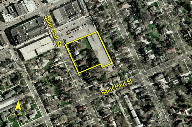
582 Saint Clair St, Grosse Pointe, MI 48230

Property Detail
582 Saint Clair St
Detroit-Warren-Dearborn, MI
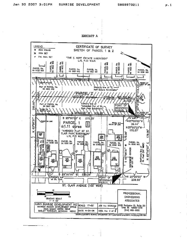
CYK92B SLY 50 FT OF LOT 92 AMENDED PLAT OF ST CLAIR PARK SUB PC239 L19 P21 WCR K 60.25
37-002-04-0092-002
Wayne
Residentialacreage
Michigan
R1-B
92
B and X Area of moderate flood hazard, usually the area between the limits of the 100-year and 500-year floods.
0.20 AC
2025
The Pointes/Harper Woods
2025
Detroit
550400
NEARBY LISTINGS FOR SALE OR LEASE
DEMOGRAPHICS near 582 Saint Clair St
1 mile
3 mile
5 mile
2025 Total Population
13,147
87,007
199,525
2030 Population
12,818
87,502
202,960
Pop Growth 2025-2030
(2.50%)
+ 0.57%
+ 1.72%
Average Age
43
40
40
2025 Total Households
5,021
33,328
78,020
HH Growth 2025-2030
(2.57%)
+ 0.50%
+ 1.55%
Median Household Inc
$137,500
$64,895
$54,123
Avg Household Size
2.60
2.50
2.50
2025 Avg HH Vehicles
2.00
1.00
1.00
Median Home Value
$461,246
$251,958
$169,409
Median Year Built
1947
1948
1951
Nearby Places
Map Layers
Map Styles
 Street
 Aerial
Layers
 Traffic
 Biking
Places
Listings with unknown addresses are not visible on the map
- Restaurants
- Banks
- Shops
- Fitness
- Groceries
PUBLIC TRANSPORTATION
AIRPORT
Windsor International
Drive
Walk
Distance
Windsor International
43 min
17.6 mi
Detroit Metro Wayne County
Drive
Walk
Distance
Detroit Metro Wayne County
49 min
31.6 mi
Freight Ports
Port of Toledo
Drive
Walk
Distance
Port of Toledo
95 min
72.3 mi
SALE & LEASE HISTORY
LISTING DATE
SALE/LEASE

Dec 01, 2020
For Sale
Dec 01, 2020
For Sale
Nearby Properties
Address
Land Use
TOTAL SIZE
Lot Size
Zoning
Address
Land Use
TOTAL SIZE
Lot Size
Zoning
2,958,207 SF
277.38 AC
M4
Address
Land Use
TOTAL SIZE
Lot Size
Zoning
211,065 SF
8.84 AC
C.F
Address
Land Use
TOTAL SIZE
Lot Size
Zoning
929,400 SF
52.48 AC
M4
Address
Land Use
TOTAL SIZE
Lot Size
Zoning
575,081 SF
8.53 AC
R6
Address
Land Use
TOTAL SIZE
Lot Size
Zoning
298,117 SF
15.97 AC
PD
Address
Land Use
TOTAL SIZE
Lot Size
Zoning
101,733 SF
1.10 AC
C-2
Address
Land Use
TOTAL SIZE
Lot Size
Zoning
49,437 SF
0.47 AC
Address
Land Use
TOTAL SIZE
Lot Size
Zoning
57.16 AC
M4
Address
Land Use
TOTAL SIZE
Lot Size
Zoning
93,296 SF
1.05 AC
C-2
Address
Land Use
TOTAL SIZE
Lot Size
Zoning
62,195 SF
1.50 AC
Address
Land Use
TOTAL SIZE
Lot Size
Zoning
17,558 SF
3.15 AC
Address
Land Use
TOTAL SIZE
Lot Size
Zoning
41,000 SF
C-1
Address
Land Use
TOTAL SIZE
Lot Size
Zoning
89,897 SF
2.23 AC
Address
Land Use
TOTAL SIZE
Lot Size
Zoning
72,940 SF
83.37 AC
M4
Address
Land Use
TOTAL SIZE
Lot Size
Zoning
28,055 SF
0.44 AC
Address
Land Use
TOTAL SIZE
Lot Size
Zoning
42,113 SF
0.54 AC
Address
Land Use
TOTAL SIZE
Lot Size
Zoning
102,205 SF
214.30 AC
Address
Land Use
TOTAL SIZE
Lot Size
Zoning
20,625 SF
0.48 AC
C-2
Address
Land Use
TOTAL SIZE
Lot Size
Zoning
47,227 SF
6.29 AC
PD
Address
Land Use
TOTAL SIZE
Lot Size
Zoning
10,704 SF
1.84 AC
Address
Land Use
TOTAL SIZE
Lot Size
Zoning
25,500 SF
0.23 AC
Address
Land Use
TOTAL SIZE
Lot Size
Zoning
101,814 SF
3.74 AC
R-2
Address
Land Use
TOTAL SIZE
Lot Size
Zoning
60,484 SF
4.85 AC
PD
Address
Land Use
TOTAL SIZE
Lot Size
Zoning
16.16 AC
PD
Address
Land Use
TOTAL SIZE
Lot Size
Zoning
14,820 SF
0.41 AC
C-1
Address
Land Use
TOTAL SIZE
Lot Size
Zoning
18,113 SF
0.42 AC
C-2
Address
Land Use
TOTAL SIZE
Lot Size
Zoning
6,152 SF
4.30 AC
Address
Land Use
TOTAL SIZE
Lot Size
Zoning
24,120 SF
4.89 AC
B4
Address
Land Use
TOTAL SIZE
Lot Size
Zoning
10,630 SF
0.20 AC
C-2
Address
Land Use
TOTAL SIZE
Lot Size
Zoning
82,494 SF
5.55 AC
PR
The World's #1 Commercial Real Estate Marketplace
Connect with us
© 2026 CoStar Group
The information above has been obtained from sources believed reliable. While we do not doubt its accuracy we have not verified it and make no guarantee, warranty or representation about it. It is your responsibility to independently confirm its accuracy and completeness. Any projections, opinions, assumptions, or estimates used are for example only and do not represent the current or future performance of the property. The value of this transaction to you depends on tax and other factors which should be evaluated by your tax, financial, and legal advisors. You and your advisors should conduct a careful, independent investigation of the property to determine to your satisfaction the suitability of the property for your needs.