Property Record
5833 Phyliss Ln, Mint Hill, NC 28227

NEARBY LISTINGS FOR SALE OR LEASE
Property Detail
5833 Phyliss Ln
Charlotte-Concord-Gastonia, NC-SC
John Street Llc Prop Map 02
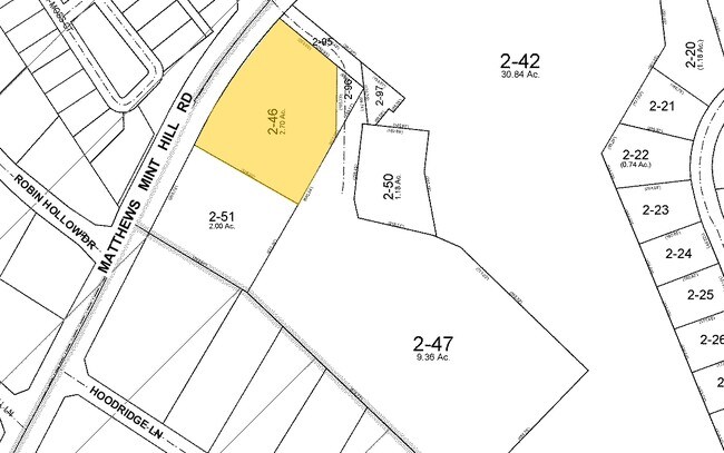
195-182-46
L1 M50-157
Officebuilding
Mecklenburg
X
North Carolina
3710550200K
1
2024
2.13 AC
2025
East Charlotte
005713
Charlotte
8,019 SF
DEMOGRAPHICS near 5833 Phyliss Ln
1 Mile
3 Mile
5 Mile
2024 Total Population
4,438
39,603
137,220
2029 Population
4,673
41,907
146,125
Pop Growth 2024-2029
+ 5.30%
+ 5.82%
+ 6.49%
Average Age
45
41
38
2024 Total Households
1,695
14,631
51,201
HH Growth 2024-2029
+ 5.31%
+ 5.89%
+ 6.48%
Median Household Inc
$93,126
$85,486
$68,374
Avg Household Size
2.60
2.70
2.60
2024 Avg HH Vehicles
2.00
2.00
2.00
Median Home Value
$363,287
$336,528
$286,146
Median Year Built
2000
1990
1990
Nearby Places
Map Layers
Map Styles
 Street
 Aerial
- Restaurants
- Banks
- Shops
- Fitness
- Groceries
PUBLIC TRANSPORTATION
AIRPORT
Concord-Padgett Regional
DRIVE
WALK
Distance
Concord-Padgett Regional
27 min
19.6 mi
Charlotte/Douglas International
DRIVE
WALK
Distance
Charlotte/Douglas International
37 min
20.3 mi
Freight Ports
North Charleston Terminal
DRIVE
WALK
Distance
North Charleston Terminal
241 min
209.2 mi
Nearby Properties
Address
Land Use
TOTAL SIZE
Lot Size
Zoning
Address
Land Use
TOTAL SIZE
Lot Size
Zoning
539,702 SF
83.70 AC
I
Address
Land Use
TOTAL SIZE
Lot Size
Zoning
347,952 SF
28.37 AC
OACUD
Address
Land Use
TOTAL SIZE
Lot Size
Zoning
258,047 SF
64.31 AC
I-CUD
Address
Land Use
TOTAL SIZE
Lot Size
Zoning
205,701 SF
13.73 AC
OACUD
Address
Land Use
TOTAL SIZE
Lot Size
Zoning
78,372 SF
14.08 AC
IGCUD
Address
Land Use
TOTAL SIZE
Lot Size
Zoning
112,203 SF
6.80 AC
R
Address
Land Use
TOTAL SIZE
Lot Size
Zoning
126,174 SF
12.13 AC
R9MFCD
Address
Land Use
TOTAL SIZE
Lot Size
Zoning
96,660 SF
8.44 AC
BGCUD
Address
Land Use
TOTAL SIZE
Lot Size
Zoning
86,432 SF
20.01 AC
I
Address
Land Use
TOTAL SIZE
Lot Size
Zoning
40,890 SF
2.92 AC
O-A DO-B(C
Address
Land Use
TOTAL SIZE
Lot Size
Zoning
80,888 SF
8.20 AC
Address
Land Use
TOTAL SIZE
Lot Size
Zoning
77,438 SF
4.26 AC
BD
Address
Land Use
TOTAL SIZE
Lot Size
Zoning
67,080 SF
7.99 AC
Address
Land Use
TOTAL SIZE
Lot Size
Zoning
72,768 SF
5.08 AC
OACUD
Address
Land Use
TOTAL SIZE
Lot Size
Zoning
81,372 SF
42.89 AC
R/I(CD)
Address
Land Use
TOTAL SIZE
Lot Size
Zoning
77,876 SF
26.47 AC
R
Address
Land Use
TOTAL SIZE
Lot Size
Zoning
45,974 SF
9.85 AC
O-A DO-B(C
Address
Land Use
TOTAL SIZE
Lot Size
Zoning
65,097 SF
8.01 AC
NS
Address
Land Use
TOTAL SIZE
Lot Size
Zoning
73,255 SF
13.35 AC
R
Address
Land Use
TOTAL SIZE
Lot Size
Zoning
60,402 SF
10.46 AC
BP
Address
Land Use
TOTAL SIZE
Lot Size
Zoning
34,114 SF
8.50 AC
R(CD)
Address
Land Use
TOTAL SIZE
Lot Size
Zoning
18.70 AC
R
Address
Land Use
TOTAL SIZE
Lot Size
Zoning
54,876 SF
6.35 AC
R
Address
Land Use
TOTAL SIZE
Lot Size
Zoning
95,075 SF
6.10 AC
R17MF
Address
Land Use
TOTAL SIZE
Lot Size
Zoning
50,431 SF
5.17 AC
BPCUD
Address
Land Use
TOTAL SIZE
Lot Size
Zoning
36,214 SF
31.65 AC
R
Address
Land Use
TOTAL SIZE
Lot Size
Zoning
75.94 AC
R-15
Address
Land Use
TOTAL SIZE
Lot Size
Zoning
30,966 SF
2.97 AC
BPCUD
Address
Land Use
TOTAL SIZE
Lot Size
Zoning
21,001 SF
20.22 AC
R
Address
Land Use
TOTAL SIZE
Lot Size
Zoning
54,308 SF
7.54 AC
BPCUD
The World's #1 Commercial Real Estate Marketplace
Connect with us
© 2025 CoStar Group
The information above has been obtained from sources believed reliable. While we do not doubt its accuracy we have not verified it and make no guarantee, warranty or representation about it. It is your responsibility to independently confirm its accuracy and completeness. Any projections, opinions, assumptions, or estimates used are for example only and do not represent the current or future performance of the property. The value of this transaction to you depends on tax and other factors which should be evaluated by your tax, financial, and legal advisors. You and your advisors should conduct a careful, independent investigation of the property to determine to your satisfaction the suitability of the property for your needs.