Property Record
5085 Batesburg Hwy, Saluda, SC 29138


NEARBY LISTINGS FOR SALE OR LEASE
-
-
View all Saluda listings for sale on LoopNet.com
Property Detail
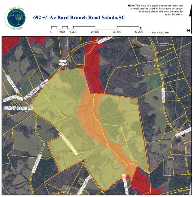
5085 Batesburg Hwy
119-00-00-016
DEED REF 649-221/1337-27
Sfr
Saluda
X
South Carolina
45081C0325E
1.30 AC
2024
Saluda County
2024
Columbia
960201
Columbia, SC
1,669 SF
DEMOGRAPHICS near 5085 Batesburg Hwy
1 Mile
3 Mile
5 Mile
2024 Total Population
208
975
6,777
2029 Population
210
982
6,809
Pop Growth 2024-2029
+ 0.96%
+ 0.72%
+ 0.47%
Average Age
40
40
40
2024 Total Households
80
376
2,549
HH Growth 2024-2029
+ 1.25%
+ 0.80%
+ 0.47%
Median Household Inc
$35,714
$36,119
$37,217
Avg Household Size
2.60
2.60
2.60
2024 Avg HH Vehicles
2.00
2.00
2.00
Median Home Value
$82,812
$84,721
$89,230
Median Year Built
1991
1990
1988
Nearby Places
Map Layers
Map Styles
 Street
 Aerial
- Restaurants
- Banks
- Shops
- Fitness
- Groceries
SALE & LEASE HISTORY
LISTING DATE
SALE/LEASE

Aug 08, 2021
For Sale
Nearby Properties
Address
Land Use
TOTAL SIZE
Lot Size
Zoning
Address
Land Use
TOTAL SIZE
Lot Size
Zoning
17.80 AC
Address
Land Use
TOTAL SIZE
Lot Size
Zoning
2.80 AC
Address
Land Use
TOTAL SIZE
Lot Size
Zoning
146,363 SF
0.50 AC
Address
Land Use
TOTAL SIZE
Lot Size
Zoning
1.10 AC
Address
Land Use
TOTAL SIZE
Lot Size
Zoning
42,440 SF
3.80 AC
Address
Land Use
TOTAL SIZE
Lot Size
Zoning
15.20 AC
Address
Land Use
TOTAL SIZE
Lot Size
Zoning
64,469 SF
18.30 AC
Address
Land Use
TOTAL SIZE
Lot Size
Zoning
14,848 SF
8.80 AC
Address
Land Use
TOTAL SIZE
Lot Size
Zoning
7,130 SF
32.20 AC
Address
Land Use
TOTAL SIZE
Lot Size
Zoning
5,589 SF
2.10 AC
Address
Land Use
TOTAL SIZE
Lot Size
Zoning
20.79 AC
Address
Land Use
TOTAL SIZE
Lot Size
Zoning
17.10 AC
Address
Land Use
TOTAL SIZE
Lot Size
Zoning
2,644 SF
14.05 AC
Address
Land Use
TOTAL SIZE
Lot Size
Zoning
64.30 AC
Address
Land Use
TOTAL SIZE
Lot Size
Zoning
4,091 SF
22.20 AC
Address
Land Use
TOTAL SIZE
Lot Size
Zoning
840 SF
234 AC
Address
Land Use
TOTAL SIZE
Lot Size
Zoning
10 AC
Address
Land Use
TOTAL SIZE
Lot Size
Zoning
3.60 AC
Address
Land Use
TOTAL SIZE
Lot Size
Zoning
13,954 SF
16 AC
Address
Land Use
TOTAL SIZE
Lot Size
Zoning
2.70 AC
Address
Land Use
TOTAL SIZE
Lot Size
Zoning
Address
Land Use
TOTAL SIZE
Lot Size
Zoning
130 AC
Address
Land Use
TOTAL SIZE
Lot Size
Zoning
65.60 AC
Address
Land Use
TOTAL SIZE
Lot Size
Zoning
3.56 AC
Address
Land Use
TOTAL SIZE
Lot Size
Zoning
65.60 AC
Address
Land Use
TOTAL SIZE
Lot Size
Zoning
4.11 AC
Address
Land Use
TOTAL SIZE
Lot Size
Zoning
1,800 SF
4.70 AC
Address
Land Use
TOTAL SIZE
Lot Size
Zoning
9.40 AC
Address
Land Use
TOTAL SIZE
Lot Size
Zoning
3,000 SF
1.16 AC
The World's #1 Commercial Real Estate Marketplace
Connect with us
© 2025 CoStar Group
The information above has been obtained from sources believed reliable. While we do not doubt its accuracy we have not verified it and make no guarantee, warranty or representation about it. It is your responsibility to independently confirm its accuracy and completeness. Any projections, opinions, assumptions, or estimates used are for example only and do not represent the current or future performance of the property. The value of this transaction to you depends on tax and other factors which should be evaluated by your tax, financial, and legal advisors. You and your advisors should conduct a careful, independent investigation of the property to determine to your satisfaction the suitability of the property for your needs.