Property Record
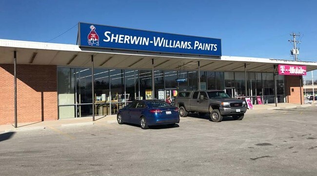
5869 S Packard Ave, Cudahy, WI 53110

Property Detail
5869 S Packard Ave
677-9983-000
COM AT INTERSEC OF C/L OF S PACKARD AVE & S LI OF NW 1/4 SEC 35-6-22 SD PT BING 85.55 FT W OF SE COR OF SD 1/4 SEC TH W 264.87 FT TH NELY 238.34 FT TH E 265.46 FT TO SD C/L TH SWLY ALG SD C/L 131.78 FT TO BEG. EXC S 45 AND E 40 FOR STREETS.
Commercialnec
Milwaukee
B-2PUD
Wisconsin
B and X Area of moderate flood hazard, usually the area between the limits of the 100-year and 500-year floods.
1 AC
2024
Milwaukee SE
2025
Milwaukee/Madison
180400
Milwaukee-Waukesha, WI
7,888 SF
NEARBY LISTINGS FOR SALE OR LEASE
DEMOGRAPHICS near 5869 S Packard Ave
1 mile
3 mile
5 mile
2025 Total Population
12,621
51,617
132,935
2030 Population
12,452
50,942
131,054
Pop Growth 2025-2030
(1.34%)
(1.31%)
(1.41%)
Average Age
43
42
41
2025 Total Households
5,799
23,295
57,906
HH Growth 2025-2030
(1.40%)
(1.37%)
(1.45%)
Median Household Inc
$64,344
$72,167
$77,571
Avg Household Size
2.10
2.20
2.20
2025 Avg HH Vehicles
2.00
2.00
2.00
Median Home Value
$211,997
$230,089
$240,430
Median Year Built
1964
1958
1959
Nearby Places
Map Layers
Map Styles
 Street
 Aerial
Layers
 Traffic
 Biking
Places
Listings with unknown addresses are not visible on the map
- Restaurants
- Banks
- Shops
- Fitness
- Groceries
PUBLIC TRANSPORTATION
COMMUTER RAIL
General Mitchell Intl. Airport Amtrak Station (Hiawatha Service - Amtrak)
Drive
Walk
Distance
General Mitchell Intl. Airport Amtrak Station (Hiawatha Service - Amtrak)
11 min
4.7 mi
Milwaukee (Empire Builder - Amtrak)
Drive
Walk
Distance
Milwaukee (Empire Builder - Amtrak)
16 min
8.6 mi
AIRPORT
General Mitchell International
Drive
Walk
Distance
General Mitchell International
11 min
4.9 mi
Freight Ports
Port Milwaukee
Drive
Walk
Distance
Port Milwaukee
14 min
5.9 mi
SALE & LEASE HISTORY
LISTING DATE
SALE/LEASE

Sep 25, 2016
For Lease
Apr 04, 2019
For Sale
Nearby Properties
Address
Land Use
TOTAL SIZE
Lot Size
Zoning
Address
Land Use
TOTAL SIZE
Lot Size
Zoning
Address
Land Use
TOTAL SIZE
Lot Size
Zoning
11.09 AC
Address
Land Use
TOTAL SIZE
Lot Size
Zoning
27.30 AC
RESIDENTIA
Address
Land Use
TOTAL SIZE
Lot Size
Zoning
Address
Land Use
TOTAL SIZE
Lot Size
Zoning
9.24 AC
RESIDENTIA
Address
Land Use
TOTAL SIZE
Lot Size
Zoning
360,000 SF
14.60 AC
IL1
Address
Land Use
TOTAL SIZE
Lot Size
Zoning
26.21 AC
Address
Land Use
TOTAL SIZE
Lot Size
Zoning
378,000 SF
19.24 AC
M-1PUD
Address
Land Use
TOTAL SIZE
Lot Size
Zoning
94.05 AC
PK
Address
Land Use
TOTAL SIZE
Lot Size
Zoning
85,264 SF
3.67 AC
PD
Address
Land Use
TOTAL SIZE
Lot Size
Zoning
216,281 SF
5.99 AC
RESIDENTIA
Address
Land Use
TOTAL SIZE
Lot Size
Zoning
Address
Land Use
TOTAL SIZE
Lot Size
Zoning
Address
Land Use
TOTAL SIZE
Lot Size
Zoning
Address
Land Use
TOTAL SIZE
Lot Size
Zoning
153,300 SF
7.39 AC
M-1PUD
Address
Land Use
TOTAL SIZE
Lot Size
Zoning
1,125 SF
13.50 AC
Address
Land Use
TOTAL SIZE
Lot Size
Zoning
Address
Land Use
TOTAL SIZE
Lot Size
Zoning
Address
Land Use
TOTAL SIZE
Lot Size
Zoning
Address
Land Use
TOTAL SIZE
Lot Size
Zoning
Address
Land Use
TOTAL SIZE
Lot Size
Zoning
149,489 SF
7.43 AC
M-1PUD
Address
Land Use
TOTAL SIZE
Lot Size
Zoning
142,210 SF
14.70 AC
M-1PUD
Address
Land Use
TOTAL SIZE
Lot Size
Zoning
153,000 SF
8.22 AC
M-1PUD
Address
Land Use
TOTAL SIZE
Lot Size
Zoning
Address
Land Use
TOTAL SIZE
Lot Size
Zoning
56.92 AC
Address
Land Use
TOTAL SIZE
Lot Size
Zoning
36.60 AC
Address
Land Use
TOTAL SIZE
Lot Size
Zoning
9.58 AC
Address
Land Use
TOTAL SIZE
Lot Size
Zoning
62,194 SF
2.85 AC
PD
Address
Land Use
TOTAL SIZE
Lot Size
Zoning
169,128 SF
8.92 AC
M-1PUD
Address
Land Use
TOTAL SIZE
Lot Size
Zoning
405,764 SF
12.70 AC
M-2
The World's #1 Commercial Real Estate Marketplace
Connect with us
© 2026 CoStar Group
The information above has been obtained from sources believed reliable. While we do not doubt its accuracy we have not verified it and make no guarantee, warranty or representation about it. It is your responsibility to independently confirm its accuracy and completeness. Any projections, opinions, assumptions, or estimates used are for example only and do not represent the current or future performance of the property. The value of this transaction to you depends on tax and other factors which should be evaluated by your tax, financial, and legal advisors. You and your advisors should conduct a careful, independent investigation of the property to determine to your satisfaction the suitability of the property for your needs.