Property Record
589 Pleasant St, Dunstable, MA 01827


NEARBY LISTINGS FOR SALE OR LEASE
-
-
View all Dunstable listings for sale on LoopNet.com
Property Detail
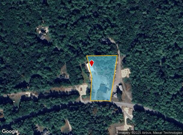
589 Pleasant St
Governmentalpublicusegeneral
Middlesex
X
Massachusetts
25017C0092F
2.02 AC
0
Groton/Townsend
2025
Boston
328100
Boston-Cambridge-Newton, MA-NH
1,546 SF
DUNS-000007-000048
DEMOGRAPHICS near 589 Pleasant St
1 Mile
3 Mile
5 Mile
2024 Total Population
576
12,012
57,444
2029 Population
569
11,899
57,868
Pop Growth 2024-2029
(1.22%)
(0.94%)
+ 0.74%
Average Age
42
42
43
2024 Total Households
196
4,309
22,728
HH Growth 2024-2029
(1.02%)
(1.07%)
+ 0.79%
Median Household Inc
$167,500
$143,681
$114,245
Avg Household Size
2.90
2.80
2.50
2024 Avg HH Vehicles
3.00
2.00
2.00
Median Home Value
$610,577
$510,287
$435,809
Median Year Built
1985
1983
1982
Nearby Places
Map Layers
Map Styles
 Street
 Aerial
- Restaurants
- Banks
- Shops
- Fitness
- Groceries
PUBLIC TRANSPORTATION
AIRPORT
Manchester Boston Regional
DRIVE
WALK
Distance
Manchester Boston Regional
42 min
23.8 mi
Freight Ports
Port of Boston
DRIVE
WALK
Distance
Port of Boston
67 min
46.3 mi
Nearby Properties
Address
Land Use
TOTAL SIZE
Lot Size
Zoning
Address
Land Use
TOTAL SIZE
Lot Size
Zoning
161,690 SF
186 AC
RA
Address
Land Use
TOTAL SIZE
Lot Size
Zoning
42.06 AC
IND
Address
Land Use
TOTAL SIZE
Lot Size
Zoning
5.02 AC
SUR
Address
Land Use
TOTAL SIZE
Lot Size
Zoning
12.43 AC
R40
Address
Land Use
TOTAL SIZE
Lot Size
Zoning
9.16 AC
IND
Address
Land Use
TOTAL SIZE
Lot Size
Zoning
2.88 AC
COM
Address
Land Use
TOTAL SIZE
Lot Size
Zoning
13.19 AC
SUR
Address
Land Use
TOTAL SIZE
Lot Size
Zoning
180,434 SF
10.94 AC
IND
Address
Land Use
TOTAL SIZE
Lot Size
Zoning
58,338 SF
0.55 AC
R1
Address
Land Use
TOTAL SIZE
Lot Size
Zoning
12.07 AC
R40
Address
Land Use
TOTAL SIZE
Lot Size
Zoning
4,618 SF
2 AC
R1
Address
Land Use
TOTAL SIZE
Lot Size
Zoning
80.04 AC
R40
Address
Land Use
TOTAL SIZE
Lot Size
Zoning
41,336 SF
3.90 AC
IND
Address
Land Use
TOTAL SIZE
Lot Size
Zoning
23,720 SF
4.19 AC
IN
Address
Land Use
TOTAL SIZE
Lot Size
Zoning
7,104 SF
5.08 AC
Address
Land Use
TOTAL SIZE
Lot Size
Zoning
16,939 SF
1 AC
URR
Address
Land Use
TOTAL SIZE
Lot Size
Zoning
25,400 SF
9.30 AC
IND
Address
Land Use
TOTAL SIZE
Lot Size
Zoning
297 AC
RA
Address
Land Use
TOTAL SIZE
Lot Size
Zoning
2.68 AC
R1
Address
Land Use
TOTAL SIZE
Lot Size
Zoning
162.57 AC
Address
Land Use
TOTAL SIZE
Lot Size
Zoning
47.42 AC
R40
Address
Land Use
TOTAL SIZE
Lot Size
Zoning
14,952 SF
21 AC
R
Address
Land Use
TOTAL SIZE
Lot Size
Zoning
25,376 SF
2.55 AC
IN
Address
Land Use
TOTAL SIZE
Lot Size
Zoning
148 AC
Address
Land Use
TOTAL SIZE
Lot Size
Zoning
9,920 SF
1.18 AC
COM
Address
Land Use
TOTAL SIZE
Lot Size
Zoning
26,000 SF
4.40 AC
IND
Address
Land Use
TOTAL SIZE
Lot Size
Zoning
131 AC
Address
Land Use
TOTAL SIZE
Lot Size
Zoning
5.47 AC
IND
Address
Land Use
TOTAL SIZE
Lot Size
Zoning
920 SF
3.20 AC
IND
Address
Land Use
TOTAL SIZE
Lot Size
Zoning
15,400 SF
0.95 AC
COM
The World's #1 Commercial Real Estate Marketplace
Connect with us
© 2025 CoStar Group
The information above has been obtained from sources believed reliable. While we do not doubt its accuracy we have not verified it and make no guarantee, warranty or representation about it. It is your responsibility to independently confirm its accuracy and completeness. Any projections, opinions, assumptions, or estimates used are for example only and do not represent the current or future performance of the property. The value of this transaction to you depends on tax and other factors which should be evaluated by your tax, financial, and legal advisors. You and your advisors should conduct a careful, independent investigation of the property to determine to your satisfaction the suitability of the property for your needs.