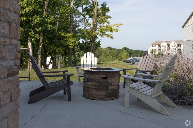
Property Record
589 Yale St, Harrisburg, PA 17111


NEARBY LISTINGS FOR SALE OR LEASE
Property Detail
589 Yale St
63-024-300
Ivy Rdg Ph 4
Apartmenthouse5plusunits
Dauphin
X
Pennsylvania
42133C0052F
21.79 AC
2025
South Dauphin County
2025
Philadelphia
022901
Harrisburg-Carlisle, PA
1,744 SF
DEMOGRAPHICS near 589 Yale St
1 Mile
3 Mile
5 Mile
2024 Total Population
11,378
88,795
189,738
2029 Population
11,616
91,306
195,618
Pop Growth 2024-2029
+ 2.09%
+ 2.83%
+ 3.10%
Average Age
38
38
39
2024 Total Households
3,872
36,013
78,419
HH Growth 2024-2029
+ 1.96%
+ 3.00%
+ 3.29%
Median Household Inc
$52,610
$52,980
$62,350
Avg Household Size
2.50
2.30
2.30
2024 Avg HH Vehicles
2.00
1.00
2.00
Median Home Value
$148,637
$147,896
$175,389
Median Year Built
1949
1956
1961
Nearby Places
Map Layers
Map Styles
 Street
 Aerial
- Restaurants
- Banks
- Shops
- Fitness
- Groceries
PUBLIC TRANSPORTATION
COMMUTER RAIL
Harrisburg (Keystone Service - Amtrak, Pennsylvanian - Amtrak)
DRIVE
WALK
Distance
Harrisburg (Keystone Service - Amtrak, Pennsylvanian - Amtrak)
9 min
4.2 mi
Middletown (Keystone Service - Amtrak)
DRIVE
WALK
Distance
Middletown (Keystone Service - Amtrak)
17 min
7.8 mi
AIRPORT
Harrisburg International
DRIVE
WALK
Distance
Harrisburg International
15 min
7.9 mi
Freight Ports
Port of Baltimore
DRIVE
WALK
Distance
Port of Baltimore
115 min
83.4 mi
Nearby Properties
Address
Land Use
TOTAL SIZE
Lot Size
Zoning
Address
Land Use
TOTAL SIZE
Lot Size
Zoning
474,282 SF
4.71 AC
Address
Land Use
TOTAL SIZE
Lot Size
Zoning
725,856 SF
2.15 AC
Address
Land Use
TOTAL SIZE
Lot Size
Zoning
210,464 SF
28.80 AC
Address
Land Use
TOTAL SIZE
Lot Size
Zoning
372,234 SF
1.01 AC
Address
Land Use
TOTAL SIZE
Lot Size
Zoning
15,480 SF
17.80 AC
Address
Land Use
TOTAL SIZE
Lot Size
Zoning
482,564 SF
5 AC
Address
Land Use
TOTAL SIZE
Lot Size
Zoning
365,162 SF
19.11 AC
Address
Land Use
TOTAL SIZE
Lot Size
Zoning
0.67 AC
Address
Land Use
TOTAL SIZE
Lot Size
Zoning
122,301 SF
32.30 AC
Address
Land Use
TOTAL SIZE
Lot Size
Zoning
349,587 SF
0.53 AC
Address
Land Use
TOTAL SIZE
Lot Size
Zoning
307,080 SF
25 AC
Address
Land Use
TOTAL SIZE
Lot Size
Zoning
329,377 SF
1.66 AC
Address
Land Use
TOTAL SIZE
Lot Size
Zoning
570,800 SF
1.29 AC
Address
Land Use
TOTAL SIZE
Lot Size
Zoning
47,022 SF
47.55 AC
Address
Land Use
TOTAL SIZE
Lot Size
Zoning
Address
Land Use
TOTAL SIZE
Lot Size
Zoning
91,929 SF
45.10 AC
Address
Land Use
TOTAL SIZE
Lot Size
Zoning
2,913 SF
24.28 AC
Address
Land Use
TOTAL SIZE
Lot Size
Zoning
352,350 SF
2.90 AC
Address
Land Use
TOTAL SIZE
Lot Size
Zoning
215,800 SF
16 AC
Address
Land Use
TOTAL SIZE
Lot Size
Zoning
284,737 SF
28.16 AC
Address
Land Use
TOTAL SIZE
Lot Size
Zoning
5,588 SF
9.29 AC
Address
Land Use
TOTAL SIZE
Lot Size
Zoning
358,680 SF
3.79 AC
Address
Land Use
TOTAL SIZE
Lot Size
Zoning
186,900 SF
Address
Land Use
TOTAL SIZE
Lot Size
Zoning
167,935 SF
0.57 AC
Address
Land Use
TOTAL SIZE
Lot Size
Zoning
218,468 SF
0.76 AC
Address
Land Use
TOTAL SIZE
Lot Size
Zoning
27,632 SF
59.50 AC
Address
Land Use
TOTAL SIZE
Lot Size
Zoning
2,000 SF
21.13 AC
Address
Land Use
TOTAL SIZE
Lot Size
Zoning
4.15 AC
Address
Land Use
TOTAL SIZE
Lot Size
Zoning
2,068 SF
19.26 AC
The World's #1 Commercial Real Estate Marketplace
Connect with us
© 2026 CoStar Group
The information above has been obtained from sources believed reliable. While we do not doubt its accuracy we have not verified it and make no guarantee, warranty or representation about it. It is your responsibility to independently confirm its accuracy and completeness. Any projections, opinions, assumptions, or estimates used are for example only and do not represent the current or future performance of the property. The value of this transaction to you depends on tax and other factors which should be evaluated by your tax, financial, and legal advisors. You and your advisors should conduct a careful, independent investigation of the property to determine to your satisfaction the suitability of the property for your needs.