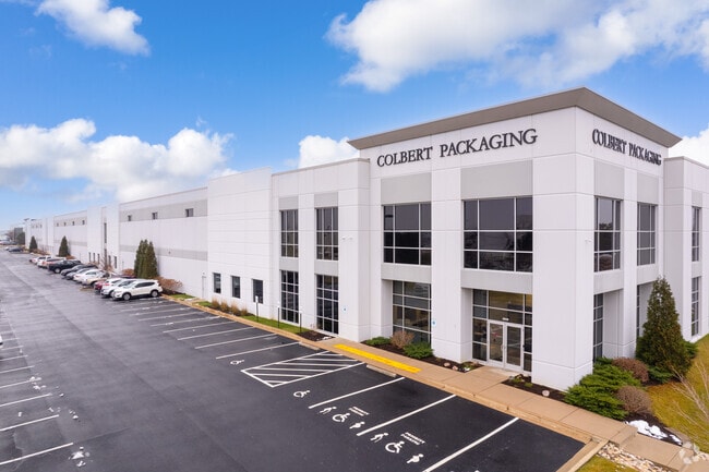
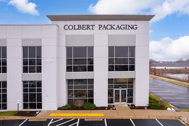
Property Record
58Th Pl, Kenosha, WI 53144

Property Detail
58Th Pl
Kenosha, WI
LOT 2 CSM #2618 DOC#1550791 A RE-DIV OF PARCEL 3 CSM #2425 DOC#1394419 A RE-DIV OF PARCEL 2 CSM #1754 V 1683 P 316 BEING PT S
08-222-32-380-312
KENOSHA
Commercialacreage
Wisconsin
M2
2
B and X Area of moderate flood hazard, usually the area between the limits of the 100-year and 500-year floods.
7.23 AC
2025
Kenosha East
2025
Chicago
000603
NEARBY LISTINGS FOR SALE OR LEASE
DEMOGRAPHICS near 58Th Pl
1 mile
3 mile
5 mile
2025 Total Population
5,862
24,498
79,840
2030 Population
5,807
24,548
79,324
Pop Growth 2025-2030
(0.94%)
+ 0.20%
(0.65%)
Average Age
37
40
40
2025 Total Households
1,953
9,420
30,936
HH Growth 2025-2030
(0.97%)
+ 0.24%
(0.67%)
Median Household Inc
$108,297
$92,372
$78,575
Avg Household Size
2.90
2.50
2.50
2025 Avg HH Vehicles
2.00
2.00
2.00
Median Home Value
$324,299
$307,519
$256,506
Median Year Built
1997
1995
1975
Nearby Places
Map Layers
Map Styles
 Street
 Aerial
Layers
 Traffic
 Biking
Places
Listings with unknown addresses are not visible on the map
- Restaurants
- Banks
- Shops
- Fitness
- Groceries
PUBLIC TRANSPORTATION
COMMUTER RAIL
Kenosha Station (Union Pacific North Line - Northeast Illinois Regional Commuter Railroad (Metra))
Drive
Walk
Distance
Kenosha Station (Union Pacific North Line - Northeast Illinois Regional Commuter Railroad (Metra))
14 min
6.5 mi
AIRPORT
General Mitchell International
Drive
Walk
Distance
General Mitchell International
34 min
28.0 mi
Freight Ports
Port Milwaukee
Drive
Walk
Distance
Port Milwaukee
39 min
31.9 mi
SALE & LEASE HISTORY
LISTING DATE
SALE/LEASE

Sep 25, 2016
For Lease
Nearby Properties
Address
Land Use
TOTAL SIZE
Lot Size
Zoning
Address
Land Use
TOTAL SIZE
Lot Size
Zoning
1,082,250 SF
58.93 AC
M2
Address
Land Use
TOTAL SIZE
Lot Size
Zoning
1,015,740 SF
113.58 AC
C2
Address
Land Use
TOTAL SIZE
Lot Size
Zoning
880,696 SF
68.19 AC
M2
Address
Land Use
TOTAL SIZE
Lot Size
Zoning
731,186 SF
81.94 AC
M2
Address
Land Use
TOTAL SIZE
Lot Size
Zoning
800,000 SF
48.22 AC
M2
Address
Land Use
TOTAL SIZE
Lot Size
Zoning
646,208 SF
44.09 AC
C2
Address
Land Use
TOTAL SIZE
Lot Size
Zoning
176,386 SF
58.38 AC
Address
Land Use
TOTAL SIZE
Lot Size
Zoning
918,624 SF
65.18 AC
Address
Land Use
TOTAL SIZE
Lot Size
Zoning
481,854 SF
84.10 AC
FW
Address
Land Use
TOTAL SIZE
Lot Size
Zoning
20,257 SF
16.01 AC
Address
Land Use
TOTAL SIZE
Lot Size
Zoning
748,800 SF
67.63 AC
FW
Address
Land Use
TOTAL SIZE
Lot Size
Zoning
12,876 SF
30.13 AC
Address
Land Use
TOTAL SIZE
Lot Size
Zoning
1,467 SF
50.67 AC
M2
Address
Land Use
TOTAL SIZE
Lot Size
Zoning
77.22 AC
M2
Address
Land Use
TOTAL SIZE
Lot Size
Zoning
513,760 SF
48.61 AC
C1
Address
Land Use
TOTAL SIZE
Lot Size
Zoning
795,475 SF
49.72 AC
Address
Land Use
TOTAL SIZE
Lot Size
Zoning
850,230 SF
39.46 AC
M2
Address
Land Use
TOTAL SIZE
Lot Size
Zoning
763,999 SF
57.67 AC
FW
Address
Land Use
TOTAL SIZE
Lot Size
Zoning
626,520 SF
35.19 AC
M2
Address
Land Use
TOTAL SIZE
Lot Size
Zoning
25,633 SF
13.10 AC
Address
Land Use
TOTAL SIZE
Lot Size
Zoning
31,809 SF
11.36 AC
BASE
Address
Land Use
TOTAL SIZE
Lot Size
Zoning
525,048 SF
35.73 AC
M2
Address
Land Use
TOTAL SIZE
Lot Size
Zoning
602,348 SF
36.02 AC
Address
Land Use
TOTAL SIZE
Lot Size
Zoning
601,439 SF
32.10 AC
Address
Land Use
TOTAL SIZE
Lot Size
Zoning
424,072 SF
29.14 AC
Address
Land Use
TOTAL SIZE
Lot Size
Zoning
35,092 SF
26.34 AC
B2
Address
Land Use
TOTAL SIZE
Lot Size
Zoning
3,721 SF
24.57 AC
FW
Address
Land Use
TOTAL SIZE
Lot Size
Zoning
32,526 SF
47.82 AC
Address
Land Use
TOTAL SIZE
Lot Size
Zoning
205,894 SF
31.07 AC
M2
Address
Land Use
TOTAL SIZE
Lot Size
Zoning
376,320 SF
35.18 AC
M2
The World's #1 Commercial Real Estate Marketplace
Connect with us
© 2026 CoStar Group
The information above has been obtained from sources believed reliable. While we do not doubt its accuracy we have not verified it and make no guarantee, warranty or representation about it. It is your responsibility to independently confirm its accuracy and completeness. Any projections, opinions, assumptions, or estimates used are for example only and do not represent the current or future performance of the property. The value of this transaction to you depends on tax and other factors which should be evaluated by your tax, financial, and legal advisors. You and your advisors should conduct a careful, independent investigation of the property to determine to your satisfaction the suitability of the property for your needs.