Property Record
59 Phelps Ln, Simsbury, CT 06070
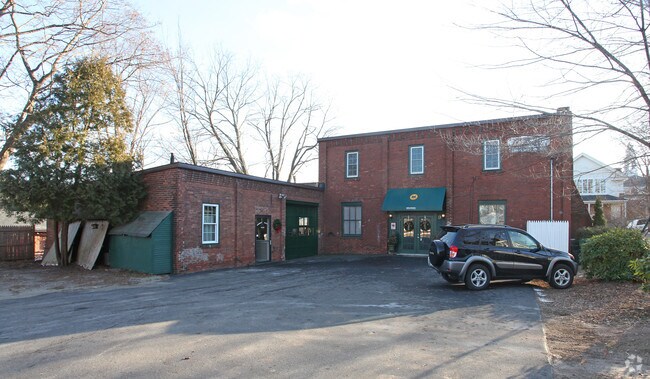


Property Detail
59 Phelps Ln
31360110
HARTFORD
Industrialgeneral
Connecticut
SCZ
6
B and X Area of moderate flood hazard, usually the area between the limits of the 100-year and 500-year floods.
0.26 AC
2024
Simsbury
2025
Hartford
466300
Hartford-West Hartford-East Hartford, CT
NEARBY LISTINGS FOR SALE OR LEASE
DEMOGRAPHICS near 59 Phelps Ln
1 mile
3 mile
5 mile
2025 Total Population
2,690
19,165
46,214
2030 Population
2,765
19,683
47,563
Pop Growth 2025-2030
+ 2.79%
+ 2.70%
+ 2.92%
Average Age
44
44
44
2025 Total Households
1,119
7,816
19,140
HH Growth 2025-2030
+ 2.86%
+ 2.81%
+ 3.01%
Median Household Inc
$126,591
$142,575
$131,092
Avg Household Size
2.30
2.40
2.40
2025 Avg HH Vehicles
2.00
2.00
2.00
Median Home Value
$406,912
$418,546
$397,577
Median Year Built
1968
1974
1975
Nearby Places
Map Layers
Map Styles
 Street
 Aerial
Layers
 Traffic
 Biking
Places
Listings with unknown addresses are not visible on the map
- Restaurants
- Banks
- Shops
- Fitness
- Groceries
PUBLIC TRANSPORTATION
AIRPORT
Bradley International
Drive
Walk
Distance
Bradley International
29 min
11.7 mi
Nearby Properties
Address
Land Use
TOTAL SIZE
Lot Size
Zoning
Address
Land Use
TOTAL SIZE
Lot Size
Zoning
35.44 AC
HSFBC
Address
Land Use
TOTAL SIZE
Lot Size
Zoning
46.20 AC
R-40
Address
Land Use
TOTAL SIZE
Lot Size
Zoning
9,882 SF
181.60 AC
R-40
Address
Land Use
TOTAL SIZE
Lot Size
Zoning
139,125 SF
35 AC
R-15
Address
Land Use
TOTAL SIZE
Lot Size
Zoning
10.26 AC
PAD
Address
Land Use
TOTAL SIZE
Lot Size
Zoning
13,375 SF
25.15 AC
R-40
Address
Land Use
TOTAL SIZE
Lot Size
Zoning
49,881 SF
18 AC
R-40
Address
Land Use
TOTAL SIZE
Lot Size
Zoning
5,640 SF
106.10 AC
R-40
Address
Land Use
TOTAL SIZE
Lot Size
Zoning
121,561 SF
4.56 AC
HSFBC
Address
Land Use
TOTAL SIZE
Lot Size
Zoning
89,800 SF
20.20 AC
R-40
Address
Land Use
TOTAL SIZE
Lot Size
Zoning
8.51 AC
PAD
Address
Land Use
TOTAL SIZE
Lot Size
Zoning
101,000 SF
R-40
Address
Land Use
TOTAL SIZE
Lot Size
Zoning
15.06 AC
PAD
Address
Land Use
TOTAL SIZE
Lot Size
Zoning
4,820 SF
40.46 AC
I-2
Address
Land Use
TOTAL SIZE
Lot Size
Zoning
112,351 SF
27.57 AC
RD
Address
Land Use
TOTAL SIZE
Lot Size
Zoning
110.71 AC
R-40
Address
Land Use
TOTAL SIZE
Lot Size
Zoning
26,941 SF
3.58 AC
SCZ
Address
Land Use
TOTAL SIZE
Lot Size
Zoning
49,484 SF
14 AC
R-15
Address
Land Use
TOTAL SIZE
Lot Size
Zoning
35,039 SF
3.97 AC
SCZ
Address
Land Use
TOTAL SIZE
Lot Size
Zoning
37,178 SF
4.40 AC
R-25
Address
Land Use
TOTAL SIZE
Lot Size
Zoning
70,317 SF
17.08 AC
I-1
Address
Land Use
TOTAL SIZE
Lot Size
Zoning
49,808 SF
7.19 AC
B-2
Address
Land Use
TOTAL SIZE
Lot Size
Zoning
1,225 SF
0.92 AC
R-40
Address
Land Use
TOTAL SIZE
Lot Size
Zoning
26,596 SF
14.81 AC
R-40
Address
Land Use
TOTAL SIZE
Lot Size
Zoning
30,413 SF
6.13 AC
R-40
Address
Land Use
TOTAL SIZE
Lot Size
Zoning
235.54 AC
R-40
Address
Land Use
TOTAL SIZE
Lot Size
Zoning
16 AC
RD
Address
Land Use
TOTAL SIZE
Lot Size
Zoning
235.81 AC
I-1
Address
Land Use
TOTAL SIZE
Lot Size
Zoning
13.65 AC
R-40
Address
Land Use
TOTAL SIZE
Lot Size
Zoning
124.64 AC
HSFBC
The World's #1 Commercial Real Estate Marketplace
Connect with us
© 2026 CoStar Group
The information above has been obtained from sources believed reliable. While we do not doubt its accuracy we have not verified it and make no guarantee, warranty or representation about it. It is your responsibility to independently confirm its accuracy and completeness. Any projections, opinions, assumptions, or estimates used are for example only and do not represent the current or future performance of the property. The value of this transaction to you depends on tax and other factors which should be evaluated by your tax, financial, and legal advisors. You and your advisors should conduct a careful, independent investigation of the property to determine to your satisfaction the suitability of the property for your needs.