Property Record
595 Geary St Ne, Albany, OR 97321


Save to a Folder
{{folder.Name}}
{{folder.ListingIds.length}} Properties
{{folder.ListingIds.length}} Property
Create a New Folder
Property Detail
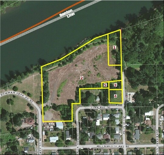
595 Geary St Ne
0073284
11S03W05BD
Multifamilydwelling
Linn
RM
Oregon
AE The base floodplain where base flood elevations are provided. AE Zones are now used on new format FIRMs instead of A1-A30 Zones.
1
2025
6.32 AC
2025
Linn County
020400
Portland
666 SF
Albany, OR
NEARBY LISTINGS FOR SALE OR LEASE
DEMOGRAPHICS near 595 Geary St Ne
1 mile
3 mile
5 mile
2025 Total Population
6,317
51,577
65,943
2030 Population
6,463
52,399
67,107
Pop Growth 2025-2030
+ 2.31%
+ 1.59%
+ 1.77%
Average Age
39
40
41
2025 Total Households
2,496
20,169
25,586
HH Growth 2025-2030
+ 2.40%
+ 1.62%
+ 1.80%
Median Household Inc
$59,301
$73,072
$77,408
Avg Household Size
2.40
2.50
2.50
2025 Avg HH Vehicles
2.00
2.00
2.00
Median Home Value
$368,714
$395,225
$419,547
Median Year Built
1962
1977
1979
Nearby Places
Map Layers
Map Styles
 Street
 Aerial
Layers
 Traffic
 Biking
Places
Listings with unknown addresses are not visible on the map
- Restaurants
- Banks
- Shops
- Fitness
- Groceries
PUBLIC TRANSPORTATION
COMMUTER RAIL
Albany Amtrak Station (Amtrak Cascades - Amtrak, Coast Starlight - Amtrak)
Drive
Walk
Distance
Albany Amtrak Station (Amtrak Cascades - Amtrak, Coast Starlight - Amtrak)
5 min
1.9 mi
Freight Ports
Port of Portland
Drive
Walk
Distance
Port of Portland
91 min
71.3 mi
SALE & LEASE HISTORY
LISTING DATE
SALE/LEASE

Sep 24, 2016
For Sale
Aug 17, 2017
For Sale
Nearby Properties
Address
Land Use
TOTAL SIZE
Lot Size
Zoning
Address
Land Use
TOTAL SIZE
Lot Size
Zoning
1.94 AC
Address
Land Use
TOTAL SIZE
Lot Size
Zoning
19.77 AC
RS-5
Address
Land Use
TOTAL SIZE
Lot Size
Zoning
34.91 AC
LI
Address
Land Use
TOTAL SIZE
Lot Size
Zoning
46.43 AC
GI
Address
Land Use
TOTAL SIZE
Lot Size
Zoning
41.22 AC
LI
Address
Land Use
TOTAL SIZE
Lot Size
Zoning
2,025 SF
16.52 AC
MUC
Address
Land Use
TOTAL SIZE
Lot Size
Zoning
33,540 SF
2.19 AC
ES
Address
Land Use
TOTAL SIZE
Lot Size
Zoning
23,340 SF
10.60 AC
CC
Address
Land Use
TOTAL SIZE
Lot Size
Zoning
28.17 AC
HI
Address
Land Use
TOTAL SIZE
Lot Size
Zoning
20.04 AC
LI
Address
Land Use
TOTAL SIZE
Lot Size
Zoning
3.75 AC
OP
Address
Land Use
TOTAL SIZE
Lot Size
Zoning
13.01 AC
RC
Address
Land Use
TOTAL SIZE
Lot Size
Zoning
67,716 SF
6.90 AC
LI
Address
Land Use
TOTAL SIZE
Lot Size
Zoning
15.63 AC
RM
Address
Land Use
TOTAL SIZE
Lot Size
Zoning
46.46 AC
GI
Address
Land Use
TOTAL SIZE
Lot Size
Zoning
43.06 AC
RS-6.5
Address
Land Use
TOTAL SIZE
Lot Size
Zoning
84,000 SF
8.99 AC
RC
Address
Land Use
TOTAL SIZE
Lot Size
Zoning
14.42 AC
RS-5
Address
Land Use
TOTAL SIZE
Lot Size
Zoning
50,648 SF
8.35 AC
RS-6.5
Address
Land Use
TOTAL SIZE
Lot Size
Zoning
45,543 SF
24.28 AC
LI
Address
Land Use
TOTAL SIZE
Lot Size
Zoning
11,296 SF
1.36 AC
HM
Address
Land Use
TOTAL SIZE
Lot Size
Zoning
3,591 SF
2.15 AC
RM
Address
Land Use
TOTAL SIZE
Lot Size
Zoning
15.15 AC
RM
Address
Land Use
TOTAL SIZE
Lot Size
Zoning
151,290 SF
5.45 AC
RM
Address
Land Use
TOTAL SIZE
Lot Size
Zoning
19,950 SF
11.11 AC
RC
Address
Land Use
TOTAL SIZE
Lot Size
Zoning
5.27 AC
MUC
Address
Land Use
TOTAL SIZE
Lot Size
Zoning
52,626 SF
5.40 AC
RS-6.5
Address
Land Use
TOTAL SIZE
Lot Size
Zoning
Address
Land Use
TOTAL SIZE
Lot Size
Zoning
31,192 SF
8.20 AC
RMA
Address
Land Use
TOTAL SIZE
Lot Size
Zoning
94,070 SF
6.52 AC
RC
The World's #1 Commercial Real Estate Marketplace
Connect with us
© 2026 CoStar Group
The information above has been obtained from sources believed reliable. While we do not doubt its accuracy we have not verified it and make no guarantee, warranty or representation about it. It is your responsibility to independently confirm its accuracy and completeness. Any projections, opinions, assumptions, or estimates used are for example only and do not represent the current or future performance of the property. The value of this transaction to you depends on tax and other factors which should be evaluated by your tax, financial, and legal advisors. You and your advisors should conduct a careful, independent investigation of the property to determine to your satisfaction the suitability of the property for your needs.