Property Record
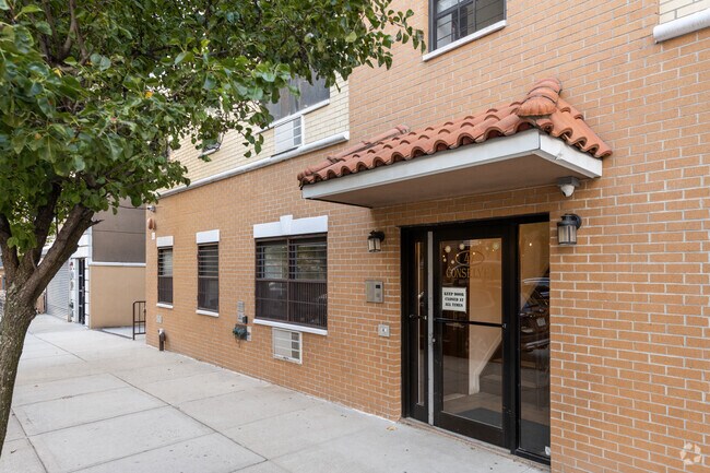
595 Lorimer St, Brooklyn, NY 11211


Property Detail
595 Lorimer St
02751-0034
KINGS
Multifamilydwelling
New York
R6B
34
B and X Area of moderate flood hazard, usually the area between the limits of the 100-year and 500-year floods.
0.04 AC
2024
Williamsburg
2025
Long Island (New York)
051300
New York-Jersey City-White Plains, NY-NJ
5,833 SF
NEARBY LISTINGS FOR SALE OR LEASE
DEMOGRAPHICS near 595 Lorimer St
1 mile
3 mile
5 mile
2025 Total Population
171,450
1,374,116
3,335,273
2030 Population
174,561
1,403,446
3,392,185
Pop Growth 2025-2030
+ 1.81%
+ 2.13%
+ 1.71%
Average Age
36
38
40
2025 Total Households
71,061
596,113
1,427,691
HH Growth 2025-2030
+ 1.53%
+ 2.35%
+ 2.15%
Median Household Inc
$107,578
$103,475
$103,175
Avg Household Size
2.30
2.20
2.20
2025 Avg HH Vehicles
.00
.00
.00
Median Home Value
$1,053,093
$1,001,193
$948,810
Median Year Built
1962
1951
1952
Nearby Places
Map Layers
Map Styles
 Street
 Aerial
Transit
 Traffic
 Biking
Places
Listings with unknown addresses are not visible on the map
- Restaurants
- Banks
- Shops
- Fitness
- Groceries
PUBLIC TRANSPORTATION
COMMUTER RAIL
Hunterspoint Avenue Station (Hempstead Branch - Long Island Rail Road, Oyster Bay Branch - Long Island Rail Road)
Drive
Walk
Distance
Hunterspoint Avenue Station (Hempstead Branch - Long Island Rail Road, Oyster Bay Branch - Long Island Rail Road)
8 min
2.4 mi
Long Island City Station (Hempstead Branch - Long Island Rail Road)
Drive
Walk
Distance
Long Island City Station (Hempstead Branch - Long Island Rail Road)
9 min
2.7 mi
AIRPORT
LaGuardia
Drive
Walk
Distance
LaGuardia
14 min
6.7 mi
John F Kennedy International
Drive
Walk
Distance
John F Kennedy International
25 min
14.7 mi
Newark Liberty International
Drive
Walk
Distance
Newark Liberty International
26 min
15.1 mi
Freight Ports
NY - Red Hook Container Terminal
Drive
Walk
Distance
NY - Red Hook Container Terminal
10 min
4.9 mi
The World's #1 Commercial Real Estate Marketplace
Connect with us
© 2026 CoStar Group
The information above has been obtained from sources believed reliable. While we do not doubt its accuracy we have not verified it and make no guarantee, warranty or representation about it. It is your responsibility to independently confirm its accuracy and completeness. Any projections, opinions, assumptions, or estimates used are for example only and do not represent the current or future performance of the property. The value of this transaction to you depends on tax and other factors which should be evaluated by your tax, financial, and legal advisors. You and your advisors should conduct a careful, independent investigation of the property to determine to your satisfaction the suitability of the property for your needs.