Property Record
595 N Pine Rd, Bay City, MI 48708
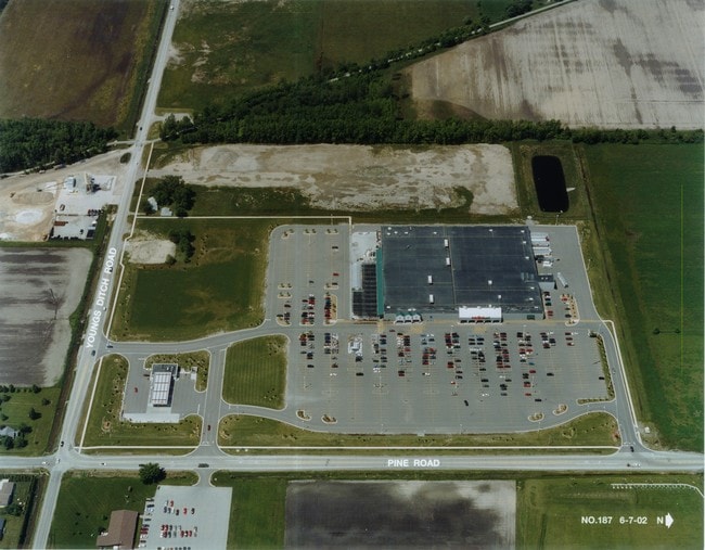

Property Detail
595 N Pine Rd
Bay City, MI
COM AT SE COR OF SEC 26, T14N, R5E; TH ALONG TH S LINE OF SAID SE 1/4 OF SEC 26 N 89D 21M 09S W 50 F
09-070-026-400-015-00
Bay
Commercialnec
Michigan
B and X Area of moderate flood hazard, usually the area between the limits of the 100-year and 500-year floods.
50.79 AC
2025
Midland/Flint
2025
Other Market Areas
285201
NEARBY LISTINGS FOR SALE OR LEASE
DEMOGRAPHICS near 595 N Pine Rd
1 mile
3 mile
5 mile
2025 Total Population
3,192
32,732
59,180
2030 Population
3,230
32,683
58,908
Pop Growth 2025-2030
+ 1.19%
(0.15%)
(0.46%)
Average Age
48
43
43
2025 Total Households
1,758
14,493
26,224
HH Growth 2025-2030
+ 1.65%
(0.08%)
(0.45%)
Median Household Inc
$38,272
$50,041
$52,755
Avg Household Size
1.70
2.20
2.20
2025 Avg HH Vehicles
1.00
2.00
2.00
Median Home Value
$149,204
$135,510
$136,213
Median Year Built
1970
1951
1954
Nearby Places
Map Layers
Map Styles
 Street
 Aerial
Transit
 Traffic
 Biking
Places
Listings with unknown addresses are not visible on the map
- Restaurants
- Banks
- Shops
- Fitness
- Groceries
PUBLIC TRANSPORTATION
AIRPORT
MBS International
Drive
Walk
Distance
MBS International
30 min
18.3 mi
SALE & LEASE HISTORY
LISTING DATE
SALE/LEASE

Sep 24, 2016
For Sale
Sep 24, 2016
For Sale
Mar 18, 2025
For Sale
Apr 02, 2019
For Sale
Nearby Properties
Address
Land Use
TOTAL SIZE
Lot Size
Zoning
Address
Land Use
TOTAL SIZE
Lot Size
Zoning
97,304 SF
3.61 AC
C-3 CTRL B
Address
Land Use
TOTAL SIZE
Lot Size
Zoning
167,100 SF
35.59 AC
M-2 GEN IN
Address
Land Use
TOTAL SIZE
Lot Size
Zoning
60,200 SF
9.50 AC
C-3 CTRL B
Address
Land Use
TOTAL SIZE
Lot Size
Zoning
32,759 SF
1.20 AC
Address
Land Use
TOTAL SIZE
Lot Size
Zoning
1.87 AC
C-3 CTRL B
Address
Land Use
TOTAL SIZE
Lot Size
Zoning
57,000 SF
1.09 AC
C-3 CTRL B
Address
Land Use
TOTAL SIZE
Lot Size
Zoning
50,965 SF
0.83 AC
C-3 CTRL B
Address
Land Use
TOTAL SIZE
Lot Size
Zoning
Address
Land Use
TOTAL SIZE
Lot Size
Zoning
39,417 SF
0.23 AC
C-3 CTRL B
Address
Land Use
TOTAL SIZE
Lot Size
Zoning
63,200 SF
1.97 AC
C-3 CTRL B
Address
Land Use
TOTAL SIZE
Lot Size
Zoning
C-3 CTRL B
Address
Land Use
TOTAL SIZE
Lot Size
Zoning
156,600 SF
9.11 AC
M-1 LT IND
Address
Land Use
TOTAL SIZE
Lot Size
Zoning
7,200 SF
0.69 AC
C-3 CTRL B
Address
Land Use
TOTAL SIZE
Lot Size
Zoning
139,237 SF
5.47 AC
C-3 CTRL B
Address
Land Use
TOTAL SIZE
Lot Size
Zoning
14.45 AC
Address
Land Use
TOTAL SIZE
Lot Size
Zoning
32,767 SF
12.28 AC
Address
Land Use
TOTAL SIZE
Lot Size
Zoning
6.89 AC
Address
Land Use
TOTAL SIZE
Lot Size
Zoning
Address
Land Use
TOTAL SIZE
Lot Size
Zoning
Address
Land Use
TOTAL SIZE
Lot Size
Zoning
Address
Land Use
TOTAL SIZE
Lot Size
Zoning
1.91 AC
Address
Land Use
TOTAL SIZE
Lot Size
Zoning
16.90 AC
Address
Land Use
TOTAL SIZE
Lot Size
Zoning
10.40 AC
Address
Land Use
TOTAL SIZE
Lot Size
Zoning
60,889 SF
Address
Land Use
TOTAL SIZE
Lot Size
Zoning
3.42 AC
Address
Land Use
TOTAL SIZE
Lot Size
Zoning
48.55 AC
M-2 GEN IN
Address
Land Use
TOTAL SIZE
Lot Size
Zoning
Address
Land Use
TOTAL SIZE
Lot Size
Zoning
125,948 SF
24.53 AC
I-2
Address
Land Use
TOTAL SIZE
Lot Size
Zoning
0.26 AC
C-3 CTRL B
The World's #1 Commercial Real Estate Marketplace
Connect with us
© 2026 CoStar Group
The information above has been obtained from sources believed reliable. While we do not doubt its accuracy we have not verified it and make no guarantee, warranty or representation about it. It is your responsibility to independently confirm its accuracy and completeness. Any projections, opinions, assumptions, or estimates used are for example only and do not represent the current or future performance of the property. The value of this transaction to you depends on tax and other factors which should be evaluated by your tax, financial, and legal advisors. You and your advisors should conduct a careful, independent investigation of the property to determine to your satisfaction the suitability of the property for your needs.