Property Record
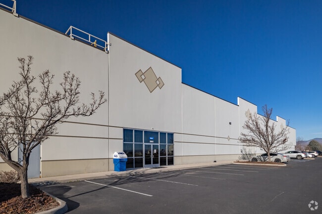
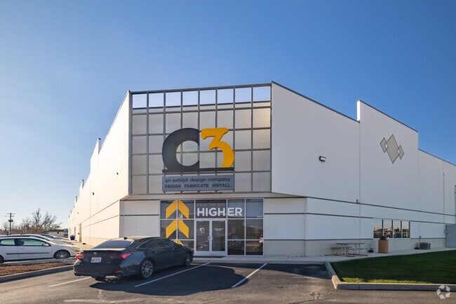
5957 W Vandal Rd, Boise, ID 83709

Property Detail
5957 W Vandal Rd
R2864910250
E2 OF LOTS 2-3 BLK 1 FLYWAY PARK SUB PARCEL A R/S 5567 #0200-S #0300-S
Foundry
Ada
M-1D
Idaho
B and X Area of moderate flood hazard, usually the area between the limits of the 100-year and 500-year floods.
2-3
2025
4.57 AC
2025
Airport
002100
Boise City/Nampa
82,851 SF
Boise City, ID
NEARBY LISTINGS FOR SALE OR LEASE
DEMOGRAPHICS near 5957 W Vandal Rd
1 mile
3 mile
5 mile
2025 Total Population
2,365
66,804
201,147
2030 Population
2,482
69,933
211,005
Pop Growth 2025-2030
+ 4.95%
+ 4.68%
+ 4.90%
Average Age
41
39
39
2025 Total Households
957
27,061
83,566
HH Growth 2025-2030
+ 5.33%
+ 5.10%
+ 5.39%
Median Household Inc
$75,231
$75,418
$77,869
Avg Household Size
2.30
2.40
2.30
2025 Avg HH Vehicles
2.00
2.00
2.00
Median Home Value
$482,312
$453,662
$475,039
Median Year Built
1978
1983
1988
Nearby Places
Map Layers
Map Styles
 Street
 Aerial
Layers
 Traffic
 Biking
Places
Listings with unknown addresses are not visible on the map
- Restaurants
- Banks
- Shops
- Fitness
- Groceries
PUBLIC TRANSPORTATION
AIRPORT
Boise Air Trml/Gowen Field
Drive
Walk
Distance
Boise Air Trml/Gowen Field
21 min
6.1 mi
Freight Ports
Port of Portland
Drive
Walk
Distance
Port of Portland
477 min
431.8 mi
SALE & LEASE HISTORY
LISTING DATE
SALE/LEASE

Sep 26, 2016
For Lease
Sep 25, 2016
For Lease
Oct 28, 2022
For Lease
Jan 17, 2018
For Lease
Nearby Properties
Address
Land Use
TOTAL SIZE
Lot Size
Zoning
Address
Land Use
TOTAL SIZE
Lot Size
Zoning
646,787 SF
27.37 AC
C-2D
Address
Land Use
TOTAL SIZE
Lot Size
Zoning
203,503 SF
7.93 AC
L-OD
Address
Land Use
TOTAL SIZE
Lot Size
Zoning
319,052 SF
24.33 AC
C-2D
Address
Land Use
TOTAL SIZE
Lot Size
Zoning
164,981 SF
7.47 AC
R20
Address
Land Use
TOTAL SIZE
Lot Size
Zoning
290,239 SF
4.73 AC
ZC-243
Address
Land Use
TOTAL SIZE
Lot Size
Zoning
118,345 SF
5.20 AC
R-2D
Address
Land Use
TOTAL SIZE
Lot Size
Zoning
173,766 SF
9.53 AC
L-OD
Address
Land Use
TOTAL SIZE
Lot Size
Zoning
91,740 SF
3.63 AC
C-4D
Address
Land Use
TOTAL SIZE
Lot Size
Zoning
164,141 SF
24.32 AC
M-1D
Address
Land Use
TOTAL SIZE
Lot Size
Zoning
93,112 SF
2.73 AC
C-2D
Address
Land Use
TOTAL SIZE
Lot Size
Zoning
218,215 SF
17.11 AC
C-4D
Address
Land Use
TOTAL SIZE
Lot Size
Zoning
130,560 SF
7.72 AC
R-2
Address
Land Use
TOTAL SIZE
Lot Size
Zoning
49,821 SF
5.45 AC
C-1D/DA
Address
Land Use
TOTAL SIZE
Lot Size
Zoning
196,326 SF
M-1
Address
Land Use
TOTAL SIZE
Lot Size
Zoning
224,614 SF
9.89 AC
C-2D
Address
Land Use
TOTAL SIZE
Lot Size
Zoning
116,821 SF
6.19 AC
R-3D
Address
Land Use
TOTAL SIZE
Lot Size
Zoning
2.08 AC
L-OD/DA
Address
Land Use
TOTAL SIZE
Lot Size
Zoning
95,762 SF
5.02 AC
C-2D
Address
Land Use
TOTAL SIZE
Lot Size
Zoning
91,433 SF
3.54 AC
C-1D
Address
Land Use
TOTAL SIZE
Lot Size
Zoning
176,700 SF
11.40 AC
C-2D
Address
Land Use
TOTAL SIZE
Lot Size
Zoning
83,760 SF
6.45 AC
R-2
Address
Land Use
TOTAL SIZE
Lot Size
Zoning
165,130 SF
9.70 AC
C-3D
Address
Land Use
TOTAL SIZE
Lot Size
Zoning
137,395 SF
4.51 AC
C-2D
Address
Land Use
TOTAL SIZE
Lot Size
Zoning
98,120 SF
2.95 AC
C-2D
Address
Land Use
TOTAL SIZE
Lot Size
Zoning
96,226 SF
3.71 AC
R-2D
Address
Land Use
TOTAL SIZE
Lot Size
Zoning
91,785 SF
2.29 AC
C-3D
Address
Land Use
TOTAL SIZE
Lot Size
Zoning
102,196 SF
2.93 AC
C-1D
Address
Land Use
TOTAL SIZE
Lot Size
Zoning
118,408 SF
8 AC
M-1D
Address
Land Use
TOTAL SIZE
Lot Size
Zoning
78,060 SF
4.44 AC
R-3D
Address
Land Use
TOTAL SIZE
Lot Size
Zoning
60,280 SF
3.66 AC
C-4D
The World's #1 Commercial Real Estate Marketplace
Connect with us
© 2026 CoStar Group
The information above has been obtained from sources believed reliable. While we do not doubt its accuracy we have not verified it and make no guarantee, warranty or representation about it. It is your responsibility to independently confirm its accuracy and completeness. Any projections, opinions, assumptions, or estimates used are for example only and do not represent the current or future performance of the property. The value of this transaction to you depends on tax and other factors which should be evaluated by your tax, financial, and legal advisors. You and your advisors should conduct a careful, independent investigation of the property to determine to your satisfaction the suitability of the property for your needs.