Property Record
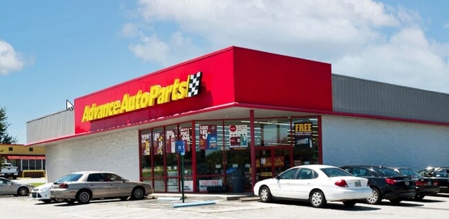
599 E Stuart Dr, Galax, VA 24333

Property Detail
599 E Stuart Dr
37- 18
E STUART DR 197.95' FRT
Commercialnec
Galax City
B2
Virginia
B and X Area of moderate flood hazard, usually the area between the limits of the 100-year and 500-year floods.
1.20 AC
2025
Virginia Regional
2025
Other Market Areas
070102
NEARBY LISTINGS FOR SALE OR LEASE
-
-
View all Galax listings for sale on LoopNet.com
DEMOGRAPHICS near 599 E Stuart Dr
1 mile
3 mile
5 mile
2025 Total Population
2,354
10,111
14,430
2030 Population
2,378
10,222
14,535
Pop Growth 2025-2030
+ 1.02%
+ 1.10%
+ 0.73%
Average Age
42
44
44
2025 Total Households
1,012
4,296
6,178
HH Growth 2025-2030
+ 1.09%
+ 1.12%
+ 0.70%
Median Household Inc
$40,769
$43,582
$45,722
Avg Household Size
2.20
2.20
2.20
2025 Avg HH Vehicles
2.00
2.00
2.00
Median Home Value
$130,814
$141,915
$146,177
Median Year Built
1976
1974
1976
Nearby Places
Map Layers
Map Styles
 Street
 Aerial
Transit
 Traffic
 Biking
Places
Listings with unknown addresses are not visible on the map
- Restaurants
- Banks
- Shops
- Fitness
- Groceries
SALE & LEASE HISTORY
LISTING DATE
SALE/LEASE

Nov 30, 2021
For Sale
Nearby Properties
Address
Land Use
TOTAL SIZE
Lot Size
Zoning
Address
Land Use
TOTAL SIZE
Lot Size
Zoning
35.16 AC
B3
Address
Land Use
TOTAL SIZE
Lot Size
Zoning
20.08 AC
B2
Address
Land Use
TOTAL SIZE
Lot Size
Zoning
28.75 AC
Address
Land Use
TOTAL SIZE
Lot Size
Zoning
20.14 AC
B2
Address
Land Use
TOTAL SIZE
Lot Size
Zoning
14.97 AC
Address
Land Use
TOTAL SIZE
Lot Size
Zoning
2.11 AC
R2
Address
Land Use
TOTAL SIZE
Lot Size
Zoning
1,969 SF
1.70 AC
Address
Land Use
TOTAL SIZE
Lot Size
Zoning
22.12 AC
M2
Address
Land Use
TOTAL SIZE
Lot Size
Zoning
26.08 AC
M1
Address
Land Use
TOTAL SIZE
Lot Size
Zoning
4.34 AC
B2
Address
Land Use
TOTAL SIZE
Lot Size
Zoning
1,501 SF
1.18 AC
B2
Address
Land Use
TOTAL SIZE
Lot Size
Zoning
6.29 AC
B3
Address
Land Use
TOTAL SIZE
Lot Size
Zoning
30.28 AC
M2
Address
Land Use
TOTAL SIZE
Lot Size
Zoning
8.90 AC
B2
Address
Land Use
TOTAL SIZE
Lot Size
Zoning
2.33 AC
B2
Address
Land Use
TOTAL SIZE
Lot Size
Zoning
0.95 AC
B2
Address
Land Use
TOTAL SIZE
Lot Size
Zoning
Address
Land Use
TOTAL SIZE
Lot Size
Zoning
5.50 AC
B2
Address
Land Use
TOTAL SIZE
Lot Size
Zoning
21.81 AC
M2
Address
Land Use
TOTAL SIZE
Lot Size
Zoning
1.07 AC
B2
Address
Land Use
TOTAL SIZE
Lot Size
Zoning
5.06 AC
B3
Address
Land Use
TOTAL SIZE
Lot Size
Zoning
1.86 AC
B2
Address
Land Use
TOTAL SIZE
Lot Size
Zoning
13.37 AC
Address
Land Use
TOTAL SIZE
Lot Size
Zoning
316.97 AC
Address
Land Use
TOTAL SIZE
Lot Size
Zoning
0.92 AC
B2
Address
Land Use
TOTAL SIZE
Lot Size
Zoning
2.38 AC
Address
Land Use
TOTAL SIZE
Lot Size
Zoning
9.69 AC
Address
Land Use
TOTAL SIZE
Lot Size
Zoning
2.29 AC
The World's #1 Commercial Real Estate Marketplace
Connect with us
© 2026 CoStar Group
The information above has been obtained from sources believed reliable. While we do not doubt its accuracy we have not verified it and make no guarantee, warranty or representation about it. It is your responsibility to independently confirm its accuracy and completeness. Any projections, opinions, assumptions, or estimates used are for example only and do not represent the current or future performance of the property. The value of this transaction to you depends on tax and other factors which should be evaluated by your tax, financial, and legal advisors. You and your advisors should conduct a careful, independent investigation of the property to determine to your satisfaction the suitability of the property for your needs.