Property Record
60 Central St, Fayville, MA 01745

Property Detail
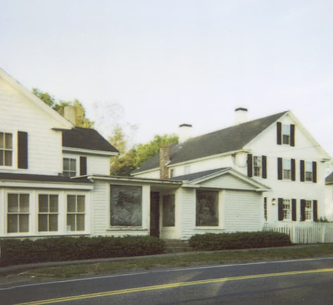
60 Central St
SBOR-000038-000000-000061
WORCESTER
Storebuilding
Massachusetts
BV
61.0
B and X Area of moderate flood hazard, usually the area between the limits of the 100-year and 500-year floods.
0.25 AC
2025
The Boroughs
2025
Boston
741101
Worcester, MA
2,538 SF
NEARBY LISTINGS FOR SALE OR LEASE
DEMOGRAPHICS near 60 Central St
1 mile
3 mile
5 mile
2025 Total Population
2,221
28,368
125,951
2030 Population
2,308
29,579
131,042
Pop Growth 2025-2030
+ 3.92%
+ 4.27%
+ 4.04%
Average Age
43
41
40
2025 Total Households
834
11,003
48,314
HH Growth 2025-2030
+ 3.96%
+ 4.57%
+ 4.23%
Median Household Inc
$169,602
$145,754
$111,251
Avg Household Size
2.60
2.50
2.50
2025 Avg HH Vehicles
2.00
2.00
2.00
Median Home Value
$790,983
$780,265
$682,378
Median Year Built
1971
1978
1973
Nearby Places
Map Layers
Map Styles
 Street
 Aerial
Transit
 Traffic
 Biking
Places
Listings with unknown addresses are not visible on the map
- Restaurants
- Banks
- Shops
- Fitness
- Groceries
PUBLIC TRANSPORTATION
COMMUTER RAIL
Southborough (Framingham/Worcester Line - Massachusetts Bay Transportation Authority Commuter Rail (Purple Line))
Drive
Walk
Distance
Southborough (Framingham/Worcester Line - Massachusetts Bay Transportation Authority Commuter Rail (Purple Line))
6 min
2.3 mi
Ashland (Framingham/Worcester Line - Massachusetts Bay Transportation Authority Commuter Rail (Purple Line))
Drive
Walk
Distance
Ashland (Framingham/Worcester Line - Massachusetts Bay Transportation Authority Commuter Rail (Purple Line))
6 min
3.2 mi
AIRPORT
Worcester Regional
Drive
Walk
Distance
Worcester Regional
35 min
20.5 mi
General Edward Lawrence Logan International
Drive
Walk
Distance
General Edward Lawrence Logan International
40 min
28.8 mi
Freight Ports
Port of Boston
Drive
Walk
Distance
Port of Boston
39 min
27.2 mi
SALE & LEASE HISTORY
LISTING DATE
SALE/LEASE

May 16, 2024
For Lease
The World's #1 Commercial Real Estate Marketplace
Connect with us
© 2026 CoStar Group
The information above has been obtained from sources believed reliable. While we do not doubt its accuracy we have not verified it and make no guarantee, warranty or representation about it. It is your responsibility to independently confirm its accuracy and completeness. Any projections, opinions, assumptions, or estimates used are for example only and do not represent the current or future performance of the property. The value of this transaction to you depends on tax and other factors which should be evaluated by your tax, financial, and legal advisors. You and your advisors should conduct a careful, independent investigation of the property to determine to your satisfaction the suitability of the property for your needs.