Property Record
600 N Main St, Fort Worth, TX 76164
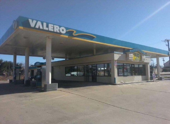

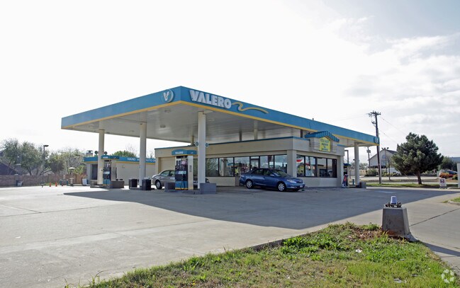

Property Detail
600 N Main St
Dallas-Fort Worth-Arlington, TX
FARMINGDALE CENTER ADDITION BLOCK A LOT 1
06148441
Tarrant
Commercialnec
Texas
B and X Area of moderate flood hazard, usually the area between the limits of the 100-year and 500-year floods.
1
2025
0.68 AC
2025
Hurst/Euless/Bedford
113510
Dallas/Ft Worth
1,350 SF
NEARBY LISTINGS FOR SALE OR LEASE
DEMOGRAPHICS near 600 N Main St
1 mile
3 mile
5 mile
2025 Total Population
21,840
104,452
237,654
2030 Population
22,887
110,072
249,445
Pop Growth 2025-2030
+ 4.79%
+ 5.38%
+ 4.96%
Average Age
38
38
38
2025 Total Households
8,767
44,060
99,037
HH Growth 2025-2030
+ 4.89%
+ 5.22%
+ 4.98%
Median Household Inc
$75,357
$82,269
$76,445
Avg Household Size
2.40
2.30
2.40
2025 Avg HH Vehicles
2.00
2.00
2.00
Median Home Value
$332,277
$375,030
$392,950
Median Year Built
1984
1988
1986
Nearby Places
Map Layers
Map Styles
 Street
 Aerial
Layers
 Traffic
 Biking
Places
Listings with unknown addresses are not visible on the map
- Restaurants
- Banks
- Shops
- Fitness
- Groceries
PUBLIC TRANSPORTATION
COMMUTER RAIL
Fort Worth (Heartland Flyer - Amtrak, Texas Eagle - Amtrak)
Drive
Walk
Distance
Fort Worth (Heartland Flyer - Amtrak, Texas Eagle - Amtrak)
4 min
1.6 mi
Fort Worth Intermodal Transit Center (TRINITY RAILWAY - Dallas Area Rapid Transit (DART))
Drive
Walk
Distance
Fort Worth Intermodal Transit Center (TRINITY RAILWAY - Dallas Area Rapid Transit (DART))
4 min
1.6 mi
AIRPORT
Dallas-Fort Worth International
Drive
Walk
Distance
Dallas-Fort Worth International
34 min
25.3 mi
Dallas Love Field
Drive
Walk
Distance
Dallas Love Field
45 min
33.9 mi
Freight Ports
Port of Shreveport
Drive
Walk
Distance
Port of Shreveport
251 min
232.0 mi
SALE & LEASE HISTORY
LISTING DATE
SALE/LEASE

Nov 01, 2017
For Sale
Nearby Properties
Address
Land Use
TOTAL SIZE
Lot Size
Zoning
Address
Land Use
TOTAL SIZE
Lot Size
Zoning
802,865 SF
17.38 AC
Address
Land Use
TOTAL SIZE
Lot Size
Zoning
1,135,360 SF
7.30 AC
Address
Land Use
TOTAL SIZE
Lot Size
Zoning
2,168,050 SF
16.28 AC
Address
Land Use
TOTAL SIZE
Lot Size
Zoning
1,545,212 SF
8.90 AC
Address
Land Use
TOTAL SIZE
Lot Size
Zoning
133,700 SF
6.29 AC
Address
Land Use
TOTAL SIZE
Lot Size
Zoning
738,487 SF
2.11 AC
Address
Land Use
TOTAL SIZE
Lot Size
Zoning
1,009,233 SF
0.92 AC
Address
Land Use
TOTAL SIZE
Lot Size
Zoning
616,686 SF
2.82 AC
Address
Land Use
TOTAL SIZE
Lot Size
Zoning
773,033 SF
2.11 AC
Address
Land Use
TOTAL SIZE
Lot Size
Zoning
1,281,000 SF
1.15 AC
Address
Land Use
TOTAL SIZE
Lot Size
Zoning
551,198 SF
3.12 AC
Address
Land Use
TOTAL SIZE
Lot Size
Zoning
508,378 SF
6.02 AC
Address
Land Use
TOTAL SIZE
Lot Size
Zoning
650,744 SF
15.68 AC
Address
Land Use
TOTAL SIZE
Lot Size
Zoning
884,928 SF
1.01 AC
Address
Land Use
TOTAL SIZE
Lot Size
Zoning
205,807 SF
3.19 AC
Address
Land Use
TOTAL SIZE
Lot Size
Zoning
928,562 SF
17.47 AC
Address
Land Use
TOTAL SIZE
Lot Size
Zoning
1,024,627 SF
0.83 AC
Address
Land Use
TOTAL SIZE
Lot Size
Zoning
764,691 SF
0.92 AC
Address
Land Use
TOTAL SIZE
Lot Size
Zoning
914,300 SF
3.46 AC
Address
Land Use
TOTAL SIZE
Lot Size
Zoning
774,327 SF
11.86 AC
Address
Land Use
TOTAL SIZE
Lot Size
Zoning
1,719,136 SF
18.18 AC
Address
Land Use
TOTAL SIZE
Lot Size
Zoning
433,672 SF
6.37 AC
Address
Land Use
TOTAL SIZE
Lot Size
Zoning
1,054,538 SF
6.23 AC
Address
Land Use
TOTAL SIZE
Lot Size
Zoning
537,395 SF
2.82 AC
Address
Land Use
TOTAL SIZE
Lot Size
Zoning
788,621 SF
6.39 AC
Address
Land Use
TOTAL SIZE
Lot Size
Zoning
498,381 SF
5.26 AC
Address
Land Use
TOTAL SIZE
Lot Size
Zoning
750,215 SF
0.69 AC
Address
Land Use
TOTAL SIZE
Lot Size
Zoning
765,141 SF
56.28 AC
Address
Land Use
TOTAL SIZE
Lot Size
Zoning
336,310 SF
2.85 AC
Address
Land Use
TOTAL SIZE
Lot Size
Zoning
487,426 SF
4.18 AC
The World's #1 Commercial Real Estate Marketplace
Connect with us
© 2026 CoStar Group
The information above has been obtained from sources believed reliable. While we do not doubt its accuracy we have not verified it and make no guarantee, warranty or representation about it. It is your responsibility to independently confirm its accuracy and completeness. Any projections, opinions, assumptions, or estimates used are for example only and do not represent the current or future performance of the property. The value of this transaction to you depends on tax and other factors which should be evaluated by your tax, financial, and legal advisors. You and your advisors should conduct a careful, independent investigation of the property to determine to your satisfaction the suitability of the property for your needs.