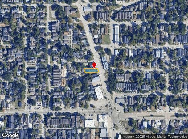
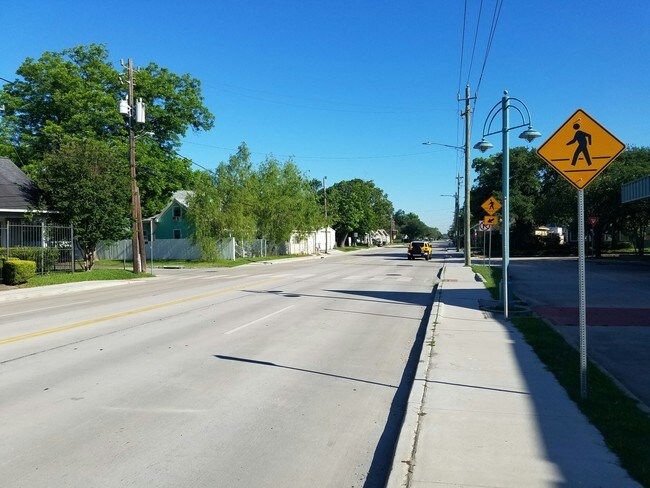
Property Record
6005 N Main St, Houston, TX 77009

NEARBY LISTINGS FOR SALE OR LEASE
Property Detail
6005 N Main St
Houston-Pasadena-The Woodlands, TX
Bartholomew Place
0060570000002
Harris
Sfr
Texas
X
0.17 AC
48201C0670M
North Loop West
976 SF
Houston
DEMOGRAPHICS near 6005 N Main St
1 Mile
3 Mile
5 Mile
2024 Total Population
21,565
169,279
433,567
2029 Population
22,559
176,076
450,513
Pop Growth 2024-2029
+ 4.61%
+ 4.02%
+ 3.91%
Average Age
39
37
37
2024 Total Households
9,867
74,361
185,696
HH Growth 2024-2029
+ 4.42%
+ 4.14%
+ 4.18%
Median Household Inc
$108,238
$89,233
$73,874
Avg Household Size
2.10
2.20
2.20
2024 Avg HH Vehicles
2.00
2.00
2.00
Median Home Value
$571,167
$429,123
$385,747
Median Year Built
1968
1993
1989
Nearby Places
Map Layers
Map Styles
 Street
 Aerial
- Restaurants
- Banks
- Shops
- Fitness
- Groceries
PUBLIC TRANSPORTATION
COMMUTER RAIL
DRIVE
WALK
Distance
7 min
3.4 mi
AIRPORT
William P Hobby
DRIVE
WALK
Distance
William P Hobby
28 min
16.3 mi
George Bush Intcntl/Houston
DRIVE
WALK
Distance
George Bush Intcntl/Houston
24 min
18.5 mi
Freight Ports
Port of Houston
DRIVE
WALK
Distance
Port of Houston
22 min
13.7 mi
SALE & LEASE HISTORY
LISTING DATE
SALE/LEASE

Sep 24, 2016
For Sale
Nearby Properties
Address
Land Use
TOTAL SIZE
Lot Size
Zoning
Address
Land Use
TOTAL SIZE
Lot Size
Zoning
453,456 SF
3.11 AC
Address
Land Use
TOTAL SIZE
Lot Size
Zoning
519,374 SF
6.18 AC
Address
Land Use
TOTAL SIZE
Lot Size
Zoning
788,433 SF
5.09 AC
Address
Land Use
TOTAL SIZE
Lot Size
Zoning
675,412 SF
10.09 AC
Address
Land Use
TOTAL SIZE
Lot Size
Zoning
641,392 SF
10 AC
Address
Land Use
TOTAL SIZE
Lot Size
Zoning
563,626 SF
4.71 AC
Address
Land Use
TOTAL SIZE
Lot Size
Zoning
308,055 SF
2.22 AC
Address
Land Use
TOTAL SIZE
Lot Size
Zoning
474,326 SF
43.16 AC
Address
Land Use
TOTAL SIZE
Lot Size
Zoning
314,489 SF
1.84 AC
Address
Land Use
TOTAL SIZE
Lot Size
Zoning
429,771 SF
3.49 AC
Address
Land Use
TOTAL SIZE
Lot Size
Zoning
315,439 SF
3.54 AC
Address
Land Use
TOTAL SIZE
Lot Size
Zoning
641,684 SF
3.30 AC
Address
Land Use
TOTAL SIZE
Lot Size
Zoning
432,691 SF
3.26 AC
Address
Land Use
TOTAL SIZE
Lot Size
Zoning
443,982 SF
3.79 AC
Address
Land Use
TOTAL SIZE
Lot Size
Zoning
261,312 SF
1.81 AC
Address
Land Use
TOTAL SIZE
Lot Size
Zoning
457,647 SF
2.30 AC
Address
Land Use
TOTAL SIZE
Lot Size
Zoning
538,026 SF
7.03 AC
Address
Land Use
TOTAL SIZE
Lot Size
Zoning
593,265 SF
3.73 AC
Address
Land Use
TOTAL SIZE
Lot Size
Zoning
445,191 SF
3.58 AC
Address
Land Use
TOTAL SIZE
Lot Size
Zoning
477,064 SF
4.60 AC
Address
Land Use
TOTAL SIZE
Lot Size
Zoning
684,371 SF
3.97 AC
Address
Land Use
TOTAL SIZE
Lot Size
Zoning
255,545 SF
2.91 AC
Address
Land Use
TOTAL SIZE
Lot Size
Zoning
264,101 SF
3.58 AC
Address
Land Use
TOTAL SIZE
Lot Size
Zoning
390,238 SF
18.35 AC
Address
Land Use
TOTAL SIZE
Lot Size
Zoning
490,168 SF
2.71 AC
Address
Land Use
TOTAL SIZE
Lot Size
Zoning
522,454 SF
6.63 AC
Address
Land Use
TOTAL SIZE
Lot Size
Zoning
379,725 SF
2.84 AC
Address
Land Use
TOTAL SIZE
Lot Size
Zoning
569,030 SF
4.92 AC
Address
Land Use
TOTAL SIZE
Lot Size
Zoning
295,572 SF
3.05 AC
Address
Land Use
TOTAL SIZE
Lot Size
Zoning
490,455 SF
4.91 AC
The World's #1 Commercial Real Estate Marketplace
Connect with us
© 2026 CoStar Group
The information above has been obtained from sources believed reliable. While we do not doubt its accuracy we have not verified it and make no guarantee, warranty or representation about it. It is your responsibility to independently confirm its accuracy and completeness. Any projections, opinions, assumptions, or estimates used are for example only and do not represent the current or future performance of the property. The value of this transaction to you depends on tax and other factors which should be evaluated by your tax, financial, and legal advisors. You and your advisors should conduct a careful, independent investigation of the property to determine to your satisfaction the suitability of the property for your needs.