Property Record
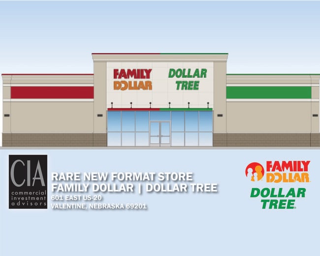
601 E Highway 20, Valentine, NE 69201

Property Detail
601 E Highway 20
160665195
LOT 1 ARGANBRIGHT SUBDIVISION 1.24 ACRES; MAP NUMBER: 0157-00-0-10185-001-0001
Wholesaleoutletdiscountstore
CHERRY
03-COMMERC
Nebraska
2024
1
2025
1.24 AC
955800
Nebraska Area
9,016 SF
Other Market Areas
NEARBY LISTINGS FOR SALE OR LEASE
-
-
View all Valentine listings for sale on LoopNet.com
DEMOGRAPHICS near 601 E Highway 20
1 mile
3 mile
5 mile
2025 Total Population
2,040
3,433
3,529
2030 Population
2,113
3,552
3,652
Pop Growth 2025-2030
+ 3.58%
+ 3.47%
+ 3.49%
Average Age
43
43
43
2025 Total Households
936
1,559
1,601
HH Growth 2025-2030
+ 3.42%
+ 3.40%
+ 3.37%
Median Household Inc
$57,132
$60,900
$60,851
Avg Household Size
2.20
2.20
2.20
2025 Avg HH Vehicles
2.00
2.00
2.00
Median Home Value
$153,537
$168,067
$168,269
Median Year Built
1969
1969
1969
Nearby Places
Map Layers
Map Styles
 Street
 Aerial
Layers
 Traffic
 Biking
Places
Listings with unknown addresses are not visible on the map
- Restaurants
- Banks
- Shops
- Fitness
- Groceries
SALE & LEASE HISTORY
LISTING DATE
SALE/LEASE

May 11, 2021
For Sale
Nearby Properties
Address
Land Use
TOTAL SIZE
Lot Size
Zoning
Address
Land Use
TOTAL SIZE
Lot Size
Zoning
3,244 SF
1.54 AC
03-COMMERC
Address
Land Use
TOTAL SIZE
Lot Size
Zoning
34,020 SF
2.90 AC
03-COMMERC
Address
Land Use
TOTAL SIZE
Lot Size
Zoning
31,443 SF
10.07 AC
03-COMMERC
Address
Land Use
TOTAL SIZE
Lot Size
Zoning
26,066 SF
1.60 AC
03-COMMERC
Address
Land Use
TOTAL SIZE
Lot Size
Zoning
35,980 SF
5.44 AC
04-INDUSTR
Address
Land Use
TOTAL SIZE
Lot Size
Zoning
21,724 SF
0.62 AC
03-COMMERC
Address
Land Use
TOTAL SIZE
Lot Size
Zoning
35,721 SF
2.88 AC
03-COMMERC
Address
Land Use
TOTAL SIZE
Lot Size
Zoning
4,680 SF
3.38 AC
03-COMMERC
Address
Land Use
TOTAL SIZE
Lot Size
Zoning
19,698 SF
1.15 AC
03-COMMERC
Address
Land Use
TOTAL SIZE
Lot Size
Zoning
19,248 SF
2.53 AC
03-COMMERC
Address
Land Use
TOTAL SIZE
Lot Size
Zoning
377.80 AC
05-AGRICUL
Address
Land Use
TOTAL SIZE
Lot Size
Zoning
7,410 SF
0.52 AC
03-COMMERC
Address
Land Use
TOTAL SIZE
Lot Size
Zoning
4,500 SF
10 AC
03-COMMERC
Address
Land Use
TOTAL SIZE
Lot Size
Zoning
12,224 SF
2.23 AC
03-COMMERC
Address
Land Use
TOTAL SIZE
Lot Size
Zoning
3,730 SF
3.50 AC
03-COMMERC
Address
Land Use
TOTAL SIZE
Lot Size
Zoning
9,301 SF
22 AC
03-COMMERC
Address
Land Use
TOTAL SIZE
Lot Size
Zoning
4,094 SF
1.06 AC
04-INDUSTR
Address
Land Use
TOTAL SIZE
Lot Size
Zoning
11,498 SF
1.58 AC
03-COMMERC
Address
Land Use
TOTAL SIZE
Lot Size
Zoning
1,135 SF
3.06 AC
03-COMMERC
Address
Land Use
TOTAL SIZE
Lot Size
Zoning
5,900 SF
6.61 AC
04-INDUSTR
Address
Land Use
TOTAL SIZE
Lot Size
Zoning
13,400 SF
58.65 AC
04-INDUSTR
Address
Land Use
TOTAL SIZE
Lot Size
Zoning
13,700 SF
2.99 AC
04-INDUSTR
Address
Land Use
TOTAL SIZE
Lot Size
Zoning
24,000 SF
1.15 AC
04-INDUSTR
Address
Land Use
TOTAL SIZE
Lot Size
Zoning
8,448 SF
0.23 AC
03-COMMERC
Address
Land Use
TOTAL SIZE
Lot Size
Zoning
3,085 SF
22 AC
03-COMMERC
Address
Land Use
TOTAL SIZE
Lot Size
Zoning
7,312 SF
0.36 AC
03-COMMERC
Address
Land Use
TOTAL SIZE
Lot Size
Zoning
8,334 SF
0.43 AC
03-COMMERC
Address
Land Use
TOTAL SIZE
Lot Size
Zoning
3,192 SF
0.16 AC
03-COMMERC
Address
Land Use
TOTAL SIZE
Lot Size
Zoning
19,360 SF
6.60 AC
03-COMMERC
The World's #1 Commercial Real Estate Marketplace
Connect with us
© 2026 CoStar Group
The information above has been obtained from sources believed reliable. While we do not doubt its accuracy we have not verified it and make no guarantee, warranty or representation about it. It is your responsibility to independently confirm its accuracy and completeness. Any projections, opinions, assumptions, or estimates used are for example only and do not represent the current or future performance of the property. The value of this transaction to you depends on tax and other factors which should be evaluated by your tax, financial, and legal advisors. You and your advisors should conduct a careful, independent investigation of the property to determine to your satisfaction the suitability of the property for your needs.