Property Record
601 E Lake St, Streamwood, IL 60107

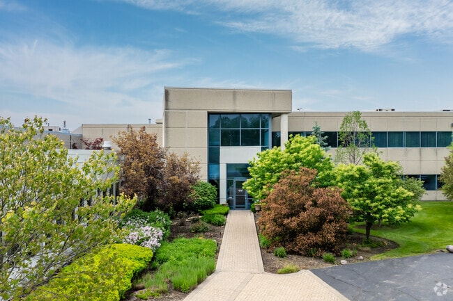

Property Detail
601 E Lake St
06-35-201-008-0000
Cook
Industrialgeneral
Illinois
B and X Area of moderate flood hazard, usually the area between the limits of the 100-year and 500-year floods.
20.79 AC
2023
Northwest Cook
2025
Chicago
804505
Chicago-Naperville-Elgin, IL-IN
343,853 SF
NEARBY LISTINGS FOR SALE OR LEASE
DEMOGRAPHICS near 601 E Lake St
1 mile
3 mile
5 mile
2025 Total Population
18,174
110,970
237,844
2030 Population
18,302
111,346
238,966
Pop Growth 2025-2030
+ 0.70%
+ 0.34%
+ 0.47%
Average Age
38
40
41
2025 Total Households
5,768
37,663
82,287
HH Growth 2025-2030
+ 0.52%
+ 0.14%
+ 0.32%
Median Household Inc
$84,077
$101,481
$104,232
Avg Household Size
3.00
2.90
2.80
2025 Avg HH Vehicles
2.00
2.00
2.00
Median Home Value
$247,006
$283,498
$312,463
Median Year Built
1975
1979
1980
Nearby Places
Map Layers
Map Styles
 Street
 Aerial
Layers
 Traffic
 Biking
Places
Listings with unknown addresses are not visible on the map
- Restaurants
- Banks
- Shops
- Fitness
- Groceries
PUBLIC TRANSPORTATION
COMMUTER RAIL
Hanover Park Station (Milwaukee District West Line - Northeast Illinois Regional Commuter Railroad (Metra))
Drive
Walk
Distance
Hanover Park Station (Milwaukee District West Line - Northeast Illinois Regional Commuter Railroad (Metra))
3 min
1.4 mi
Bartlett Station (Milwaukee District West Line - Northeast Illinois Regional Commuter Railroad (Metra))
Drive
Walk
Distance
Bartlett Station (Milwaukee District West Line - Northeast Illinois Regional Commuter Railroad (Metra))
5 min
1.7 mi
AIRPORT
Chicago O'Hare International
Drive
Walk
Distance
Chicago O'Hare International
33 min
20.7 mi
Chicago Midway International
Drive
Walk
Distance
Chicago Midway International
45 min
32.2 mi
Freight Ports
Port Milwaukee
Drive
Walk
Distance
Port Milwaukee
113 min
91.8 mi
SALE & LEASE HISTORY
LISTING DATE
SALE/LEASE

Sep 21, 2022
For Sale
Sep 21, 2022
For Lease
May 26, 2017
For Lease
May 26, 2017
For Sale
Jun 15, 2020
For Sale
Nearby Properties
Address
Land Use
TOTAL SIZE
Lot Size
Zoning
Address
Land Use
TOTAL SIZE
Lot Size
Zoning
492,570 SF
22.46 AC
I
Address
Land Use
TOTAL SIZE
Lot Size
Zoning
421,722 SF
34.61 AC
Address
Land Use
TOTAL SIZE
Lot Size
Zoning
306,870 SF
31.76 AC
I
Address
Land Use
TOTAL SIZE
Lot Size
Zoning
356,177 SF
18.27 AC
I
Address
Land Use
TOTAL SIZE
Lot Size
Zoning
320,504 SF
17.60 AC
I
Address
Land Use
TOTAL SIZE
Lot Size
Zoning
361,130 SF
19.91 AC
I
Address
Land Use
TOTAL SIZE
Lot Size
Zoning
320,430 SF
16.56 AC
I
Address
Land Use
TOTAL SIZE
Lot Size
Zoning
216,238 SF
13.52 AC
Address
Land Use
TOTAL SIZE
Lot Size
Zoning
130,923 SF
13.15 AC
Address
Land Use
TOTAL SIZE
Lot Size
Zoning
300,000 SF
16.56 AC
I
Address
Land Use
TOTAL SIZE
Lot Size
Zoning
224,794 SF
Address
Land Use
TOTAL SIZE
Lot Size
Zoning
229,759 SF
12.90 AC
I
Address
Land Use
TOTAL SIZE
Lot Size
Zoning
250,000 SF
12.44 AC
I
Address
Land Use
TOTAL SIZE
Lot Size
Zoning
244,888 SF
12.19 AC
I
Address
Land Use
TOTAL SIZE
Lot Size
Zoning
30,000 SF
1.04 AC
Address
Land Use
TOTAL SIZE
Lot Size
Zoning
94,497 SF
9.43 AC
C
Address
Land Use
TOTAL SIZE
Lot Size
Zoning
241,807 SF
11.83 AC
I
Address
Land Use
TOTAL SIZE
Lot Size
Zoning
228,272 SF
10.62 AC
I
Address
Land Use
TOTAL SIZE
Lot Size
Zoning
401,250 SF
73.98 AC
Address
Land Use
TOTAL SIZE
Lot Size
Zoning
64,182 SF
2.62 AC
Address
Land Use
TOTAL SIZE
Lot Size
Zoning
207,000 SF
11.72 AC
Address
Land Use
TOTAL SIZE
Lot Size
Zoning
348,500 SF
23.57 AC
Address
Land Use
TOTAL SIZE
Lot Size
Zoning
76,744 SF
2.41 AC
Address
Land Use
TOTAL SIZE
Lot Size
Zoning
207,000 SF
11.80 AC
Address
Land Use
TOTAL SIZE
Lot Size
Zoning
179,497 SF
12.33 AC
Address
Land Use
TOTAL SIZE
Lot Size
Zoning
436,500 SF
Address
Land Use
TOTAL SIZE
Lot Size
Zoning
423,726 SF
35.97 AC
Address
Land Use
TOTAL SIZE
Lot Size
Zoning
Address
Land Use
TOTAL SIZE
Lot Size
Zoning
11,132 SF
2 AC
Address
Land Use
TOTAL SIZE
Lot Size
Zoning
160,414 SF
10.62 AC
I
The World's #1 Commercial Real Estate Marketplace
Connect with us
© 2026 CoStar Group
The information above has been obtained from sources believed reliable. While we do not doubt its accuracy we have not verified it and make no guarantee, warranty or representation about it. It is your responsibility to independently confirm its accuracy and completeness. Any projections, opinions, assumptions, or estimates used are for example only and do not represent the current or future performance of the property. The value of this transaction to you depends on tax and other factors which should be evaluated by your tax, financial, and legal advisors. You and your advisors should conduct a careful, independent investigation of the property to determine to your satisfaction the suitability of the property for your needs.