Property Record
601 Mccaw Bridge St, Raleigh, NC 27606

NEARBY LISTINGS FOR SALE OR LEASE
Property Detail
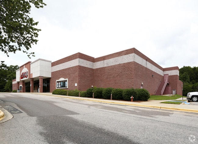
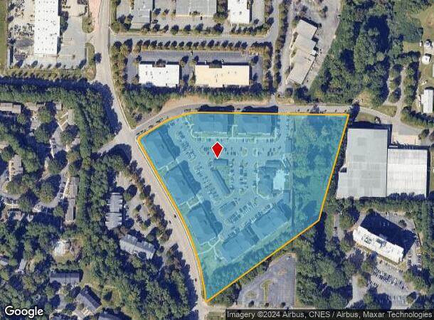
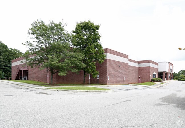
601 Mccaw Bridge St
Raleigh, NC
Blue Ridge Apartments
0784.20-82-2074-000
LO1 BLUE RIDGE APARTMENTS BM2021-01107
Apartment
Wake
X
North Carolina
3720078400K
1
2025
10.94 AC
2025
West Raleigh
052407
Raleigh/Durham
265,802 SF
DEMOGRAPHICS near 601 Mccaw Bridge St
1 Mile
3 Mile
5 Mile
2024 Total Population
10,037
92,873
223,524
2029 Population
10,924
101,069
243,328
Pop Growth 2024-2029
+ 8.84%
+ 8.82%
+ 8.86%
Average Age
32
34
37
2024 Total Households
3,925
39,675
98,054
HH Growth 2024-2029
+ 9.68%
+ 9.40%
+ 9.25%
Median Household Inc
$43,333
$62,808
$76,667
Avg Household Size
2.20
2.10
2.10
2024 Avg HH Vehicles
2.00
2.00
2.00
Median Home Value
$377,911
$481,811
$452,475
Median Year Built
1983
1989
1990
Nearby Places
Map Layers
Map Styles
 Street
 Aerial
- Restaurants
- Banks
- Shops
- Fitness
- Groceries
PUBLIC TRANSPORTATION
COMMUTER RAIL
Raleigh Union Station (Piedmont - North Carolina by Train (NC Train))
DRIVE
WALK
Distance
Raleigh Union Station (Piedmont - North Carolina by Train (NC Train))
8 min
4.0 mi
Cary Station (Piedmont - North Carolina by Train (NC Train))
DRIVE
WALK
Distance
Cary Station (Piedmont - North Carolina by Train (NC Train))
10 min
5.3 mi
AIRPORT
Raleigh-Durham International
DRIVE
WALK
Distance
Raleigh-Durham International
19 min
11.2 mi
Nearby Properties
Address
Land Use
TOTAL SIZE
Lot Size
Zoning
Address
Land Use
TOTAL SIZE
Lot Size
Zoning
5,616,802 SF
507.97 AC
OX-12
Address
Land Use
TOTAL SIZE
Lot Size
Zoning
1,109,877 SF
746.53 AC
CMP
Address
Land Use
TOTAL SIZE
Lot Size
Zoning
1,801,169 SF
59.60 AC
OX-12
Address
Land Use
TOTAL SIZE
Lot Size
Zoning
770,311 SF
80.70 AC
PD
Address
Land Use
TOTAL SIZE
Lot Size
Zoning
854,180 SF
210.81 AC
OX-4
Address
Land Use
TOTAL SIZE
Lot Size
Zoning
294,812 SF
999.47 AC
AP
Address
Land Use
TOTAL SIZE
Lot Size
Zoning
613,087 SF
266.85 AC
PD
Address
Land Use
TOTAL SIZE
Lot Size
Zoning
1,810,132 SF
OX-12
Address
Land Use
TOTAL SIZE
Lot Size
Zoning
706,810 SF
40.78 AC
IH
Address
Land Use
TOTAL SIZE
Lot Size
Zoning
12,850 SF
96.80 AC
OX-12
Address
Land Use
TOTAL SIZE
Lot Size
Zoning
403,230 SF
197.34 AC
IX-3
Address
Land Use
TOTAL SIZE
Lot Size
Zoning
250,448 SF
25.28 AC
OX-3
Address
Land Use
TOTAL SIZE
Lot Size
Zoning
982,323 SF
154.02 AC
OX-7
Address
Land Use
TOTAL SIZE
Lot Size
Zoning
1,039,527 SF
22.85 AC
OX-7
Address
Land Use
TOTAL SIZE
Lot Size
Zoning
524,391 SF
4.13 AC
NX-5
Address
Land Use
TOTAL SIZE
Lot Size
Zoning
834,950 SF
3.91 AC
OX-12
Address
Land Use
TOTAL SIZE
Lot Size
Zoning
426,539 SF
2.90 AC
NX-5
Address
Land Use
TOTAL SIZE
Lot Size
Zoning
613,248 SF
2.20 AC
IND-2
Address
Land Use
TOTAL SIZE
Lot Size
Zoning
580,268 SF
9.02 AC
PD
Address
Land Use
TOTAL SIZE
Lot Size
Zoning
931,884 SF
10.21 AC
CMP
Address
Land Use
TOTAL SIZE
Lot Size
Zoning
378,159 SF
22.40 AC
OX-7
Address
Land Use
TOTAL SIZE
Lot Size
Zoning
395,263 SF
6.07 AC
CX-5
Address
Land Use
TOTAL SIZE
Lot Size
Zoning
332,378 SF
2.83 AC
NX-5
Address
Land Use
TOTAL SIZE
Lot Size
Zoning
437,167 SF
2.61 AC
CX-7
Address
Land Use
TOTAL SIZE
Lot Size
Zoning
278,041 SF
9.98 AC
NX-4
Address
Land Use
TOTAL SIZE
Lot Size
Zoning
308,622 SF
14.34 AC
CX-5
Address
Land Use
TOTAL SIZE
Lot Size
Zoning
402,447 SF
49.88 AC
GC
Address
Land Use
TOTAL SIZE
Lot Size
Zoning
350,189 SF
15.77 AC
PD
Address
Land Use
TOTAL SIZE
Lot Size
Zoning
359,022 SF
21.46 AC
OX-3
Address
Land Use
TOTAL SIZE
Lot Size
Zoning
233,771 SF
6.09 AC
RX-4
The World's #1 Commercial Real Estate Marketplace
Connect with us
© 2026 CoStar Group
The information above has been obtained from sources believed reliable. While we do not doubt its accuracy we have not verified it and make no guarantee, warranty or representation about it. It is your responsibility to independently confirm its accuracy and completeness. Any projections, opinions, assumptions, or estimates used are for example only and do not represent the current or future performance of the property. The value of this transaction to you depends on tax and other factors which should be evaluated by your tax, financial, and legal advisors. You and your advisors should conduct a careful, independent investigation of the property to determine to your satisfaction the suitability of the property for your needs.