Property Record
601 N 41St St E, Muskogee, OK 74403
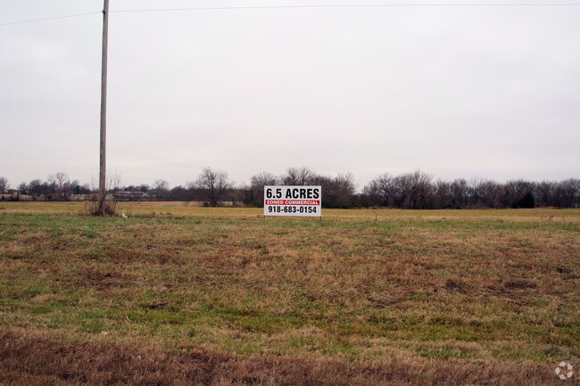

Property Detail
601 N 41St St E
13876
T15N R19E S29 W ROW OF FRONTAGE RD HWY165 S63600E ALONG SAID WESTERLY ROW 371.79 TO A POINT THENCE ON CURVE TO RIGHT HAVING R
Residentialacreage
MUSKOGEE
AE The base floodplain where base flood elevations are provided. AE Zones are now used on new format FIRMs instead of A1-A30 Zones.
Oklahoma
0
6.86 AC
2025
Muskogee County
001301
Tulsa
15,000 SF
Muskogee, OK
NEARBY LISTINGS FOR SALE OR LEASE
DEMOGRAPHICS near 601 N 41St St E
1 mile
3 mile
5 mile
2025 Total Population
1,689
20,676
36,206
2030 Population
1,714
20,920
36,775
Pop Growth 2025-2030
+ 1.48%
+ 1.18%
+ 1.57%
Average Age
41
39
39
2025 Total Households
699
8,417
14,494
HH Growth 2025-2030
+ 1.57%
+ 1.21%
+ 1.64%
Median Household Inc
$57,095
$55,120
$53,018
Avg Household Size
2.20
2.30
2.40
2025 Avg HH Vehicles
2.00
2.00
2.00
Median Home Value
$188,461
$135,333
$145,881
Median Year Built
1981
1971
1972
Nearby Places
Map Layers
Map Styles
 Street
 Aerial
Transit
 Traffic
 Biking
Places
Listings with unknown addresses are not visible on the map
- Restaurants
- Banks
- Shops
- Fitness
- Groceries
Nearby Properties
Address
Land Use
TOTAL SIZE
Lot Size
Zoning
Address
Land Use
TOTAL SIZE
Lot Size
Zoning
224,448 SF
30.08 AC
Address
Land Use
TOTAL SIZE
Lot Size
Zoning
14,016 SF
81.11 AC
Address
Land Use
TOTAL SIZE
Lot Size
Zoning
428,400 SF
385.75 AC
B
Address
Land Use
TOTAL SIZE
Lot Size
Zoning
16,740 SF
3.62 AC
B
Address
Land Use
TOTAL SIZE
Lot Size
Zoning
84,918 SF
1.21 AC
D
Address
Land Use
TOTAL SIZE
Lot Size
Zoning
9,000 SF
11.77 AC
Address
Land Use
TOTAL SIZE
Lot Size
Zoning
34,070 SF
2.33 AC
PP
Address
Land Use
TOTAL SIZE
Lot Size
Zoning
25,200 SF
12.06 AC
Address
Land Use
TOTAL SIZE
Lot Size
Zoning
8,244 SF
1.53 AC
E
Address
Land Use
TOTAL SIZE
Lot Size
Zoning
9,600 SF
64.75 AC
Address
Land Use
TOTAL SIZE
Lot Size
Zoning
14,880 SF
17.11 AC
Address
Land Use
TOTAL SIZE
Lot Size
Zoning
39,259 SF
1.54 AC
E
Address
Land Use
TOTAL SIZE
Lot Size
Zoning
30,594 SF
0.85 AC
E1
Address
Land Use
TOTAL SIZE
Lot Size
Zoning
36,984 SF
0.80 AC
Address
Land Use
TOTAL SIZE
Lot Size
Zoning
16,100 SF
7.35 AC
Address
Land Use
TOTAL SIZE
Lot Size
Zoning
5,518 SF
1.07 AC
Address
Land Use
TOTAL SIZE
Lot Size
Zoning
34,000 SF
1.20 AC
Address
Land Use
TOTAL SIZE
Lot Size
Zoning
10,528 SF
19.32 AC
Address
Land Use
TOTAL SIZE
Lot Size
Zoning
720 SF
2.91 AC
E1
Address
Land Use
TOTAL SIZE
Lot Size
Zoning
12,552 SF
0.88 AC
B
Address
Land Use
TOTAL SIZE
Lot Size
Zoning
33,792 SF
2.42 AC
B
Address
Land Use
TOTAL SIZE
Lot Size
Zoning
3,317 SF
16.69 AC
Address
Land Use
TOTAL SIZE
Lot Size
Zoning
5,000 SF
1.11 AC
Address
Land Use
TOTAL SIZE
Lot Size
Zoning
5,164 SF
1.16 AC
D
Address
Land Use
TOTAL SIZE
Lot Size
Zoning
85,449 SF
1.07 AC
D
Address
Land Use
TOTAL SIZE
Lot Size
Zoning
319,400 SF
44.02 AC
Address
Land Use
TOTAL SIZE
Lot Size
Zoning
40,000 SF
50.40 AC
Address
Land Use
TOTAL SIZE
Lot Size
Zoning
10,208 SF
2.19 AC
Address
Land Use
TOTAL SIZE
Lot Size
Zoning
16,620 SF
0.90 AC
E1
Address
Land Use
TOTAL SIZE
Lot Size
Zoning
63,990 SF
0.64 AC
The World's #1 Commercial Real Estate Marketplace
Connect with us
© 2026 CoStar Group
The information above has been obtained from sources believed reliable. While we do not doubt its accuracy we have not verified it and make no guarantee, warranty or representation about it. It is your responsibility to independently confirm its accuracy and completeness. Any projections, opinions, assumptions, or estimates used are for example only and do not represent the current or future performance of the property. The value of this transaction to you depends on tax and other factors which should be evaluated by your tax, financial, and legal advisors. You and your advisors should conduct a careful, independent investigation of the property to determine to your satisfaction the suitability of the property for your needs.