Property Record
601 N Mildred Rd, Cortez, CO 81321
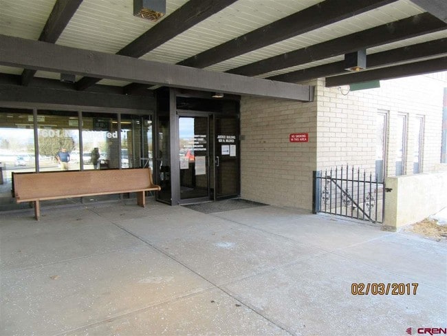

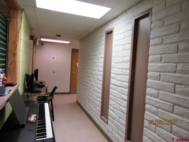
Property Detail
601 N Mildred Rd
R018270
SUBDIVISION: CO OF MONTEZUMA & CITY OF CORTEZ, CREATING ESTATES LOT: EAST 3.17AC B732 P725-29 B734 P644 B13-P48
Taxexempt
Montezuma
O
Colorado
B and X Area of moderate flood hazard, usually the area between the limits of the 100-year and 500-year floods.
3.17 AC
0
Colorado Southwest Area
2025
Other Market Areas
969301
NEARBY LISTINGS FOR SALE OR LEASE
DEMOGRAPHICS near 601 N Mildred Rd
1 mile
3 mile
5 mile
2025 Total Population
5,796
11,774
14,851
2030 Population
6,048
12,237
15,381
Pop Growth 2025-2030
+ 4.35%
+ 3.93%
+ 3.57%
Average Age
40
42
42
2025 Total Households
2,492
4,980
6,216
HH Growth 2025-2030
+ 4.33%
+ 3.94%
+ 3.59%
Median Household Inc
$47,226
$62,988
$64,416
Avg Household Size
2.30
2.30
2.30
2025 Avg HH Vehicles
2.00
2.00
2.00
Median Home Value
$260,273
$281,895
$291,819
Median Year Built
1973
1978
1980
Nearby Places
Map Layers
Map Styles
 Street
 Aerial
Transit
 Traffic
 Biking
Places
Listings with unknown addresses are not visible on the map
- Restaurants
- Banks
- Shops
- Fitness
- Groceries
SALE & LEASE HISTORY
LISTING DATE
SALE/LEASE

Feb 22, 2017
For Sale
Nearby Properties
Address
Land Use
TOTAL SIZE
Lot Size
Zoning
Address
Land Use
TOTAL SIZE
Lot Size
Zoning
35.47 AC
R2
Address
Land Use
TOTAL SIZE
Lot Size
Zoning
15.74 AC
PUD
Address
Land Use
TOTAL SIZE
Lot Size
Zoning
16.38 AC
C
Address
Land Use
TOTAL SIZE
Lot Size
Zoning
184,778 SF
18.59 AC
C
Address
Land Use
TOTAL SIZE
Lot Size
Zoning
56.15 AC
O
Address
Land Use
TOTAL SIZE
Lot Size
Zoning
10.99 AC
R1
Address
Land Use
TOTAL SIZE
Lot Size
Zoning
1.70 AC
C
Address
Land Use
TOTAL SIZE
Lot Size
Zoning
12.55 AC
C
Address
Land Use
TOTAL SIZE
Lot Size
Zoning
18,810 SF
4.21 AC
A/R 3-9
Address
Land Use
TOTAL SIZE
Lot Size
Zoning
46,688 SF
4 AC
C
Address
Land Use
TOTAL SIZE
Lot Size
Zoning
17,144 SF
3.07 AC
C
Address
Land Use
TOTAL SIZE
Lot Size
Zoning
64,932 SF
5.13 AC
C
Address
Land Use
TOTAL SIZE
Lot Size
Zoning
4.66 AC
R2
Address
Land Use
TOTAL SIZE
Lot Size
Zoning
8,652 SF
3.31 AC
R2
Address
Land Use
TOTAL SIZE
Lot Size
Zoning
56,224 SF
7.81 AC
C
Address
Land Use
TOTAL SIZE
Lot Size
Zoning
11,661 SF
4.05 AC
R2
Address
Land Use
TOTAL SIZE
Lot Size
Zoning
13,624 SF
1.10 AC
C
Address
Land Use
TOTAL SIZE
Lot Size
Zoning
10,792 SF
1.21 AC
C
Address
Land Use
TOTAL SIZE
Lot Size
Zoning
3,210 SF
12.04 AC
C
Address
Land Use
TOTAL SIZE
Lot Size
Zoning
20,493 SF
0.98 AC
C
Address
Land Use
TOTAL SIZE
Lot Size
Zoning
4.03 AC
O
Address
Land Use
TOTAL SIZE
Lot Size
Zoning
10,576 SF
8.68 AC
R2
Address
Land Use
TOTAL SIZE
Lot Size
Zoning
4,623 SF
2.17 AC
C
Address
Land Use
TOTAL SIZE
Lot Size
Zoning
1.14 AC
R1
Address
Land Use
TOTAL SIZE
Lot Size
Zoning
6,308 SF
2.13 AC
NB
Address
Land Use
TOTAL SIZE
Lot Size
Zoning
21,084 SF
2.52 AC
C
Address
Land Use
TOTAL SIZE
Lot Size
Zoning
5,220 SF
0.87 AC
C
Address
Land Use
TOTAL SIZE
Lot Size
Zoning
14,878 SF
2.10 AC
C
Address
Land Use
TOTAL SIZE
Lot Size
Zoning
131 SF
R1
The World's #1 Commercial Real Estate Marketplace
Connect with us
© 2026 CoStar Group
The information above has been obtained from sources believed reliable. While we do not doubt its accuracy we have not verified it and make no guarantee, warranty or representation about it. It is your responsibility to independently confirm its accuracy and completeness. Any projections, opinions, assumptions, or estimates used are for example only and do not represent the current or future performance of the property. The value of this transaction to you depends on tax and other factors which should be evaluated by your tax, financial, and legal advisors. You and your advisors should conduct a careful, independent investigation of the property to determine to your satisfaction the suitability of the property for your needs.