Property Record
603 4Th St, Wheatland, CA 95692


Property Detail
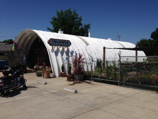
603 4Th St
015-305-012-000
LOT 15 & 16 BLOCK 8 WHEATLAND
Storemultistory
Yuba
C-3
California
B and X Area of moderate flood hazard, usually the area between the limits of the 100-year and 500-year floods.
15,16
2024
0.25 AC
2025
Yuba County
040800
Sacramento
1,792 SF
Yuba City, CA
NEARBY LISTINGS FOR SALE OR LEASE
-
-
View all Wheatland listings for sale on LoopNet.com
DEMOGRAPHICS near 603 4Th St
1 mile
3 mile
5 mile
2025 Total Population
4,064
4,419
5,948
2030 Population
4,282
4,653
6,232
Pop Growth 2025-2030
+ 5.36%
+ 5.30%
+ 4.77%
Average Age
38
39
39
2025 Total Households
1,458
1,584
2,099
HH Growth 2025-2030
+ 5.56%
+ 5.49%
+ 4.91%
Median Household Inc
$88,641
$89,361
$90,452
Avg Household Size
2.80
2.80
2.80
2025 Avg HH Vehicles
2.00
2.00
2.00
Median Home Value
$451,298
$455,263
$485,051
Median Year Built
1987
1987
1984
Nearby Places
Map Layers
Map Styles
 Street
 Aerial
Transit
 Traffic
 Biking
Places
Listings with unknown addresses are not visible on the map
- Restaurants
- Banks
- Shops
- Fitness
- Groceries
PUBLIC TRANSPORTATION
AIRPORT
Sacramento International
Drive
Walk
Distance
Sacramento International
53 min
40.8 mi
Nearby Properties
Address
Land Use
TOTAL SIZE
Lot Size
Zoning
Address
Land Use
TOTAL SIZE
Lot Size
Zoning
15,032 SF
3.90 AC
Address
Land Use
TOTAL SIZE
Lot Size
Zoning
2,214 SF
478 AC
FBX
Address
Land Use
TOTAL SIZE
Lot Size
Zoning
5,100 SF
382.15 AC
AE-10
Address
Land Use
TOTAL SIZE
Lot Size
Zoning
8,073 SF
145.40 AC
AE-40
Address
Land Use
TOTAL SIZE
Lot Size
Zoning
2,286 SF
99.68 AC
AE-40
Address
Land Use
TOTAL SIZE
Lot Size
Zoning
640 AC
AE-80
Address
Land Use
TOTAL SIZE
Lot Size
Zoning
16,558 SF
5.04 AC
AE-40
Address
Land Use
TOTAL SIZE
Lot Size
Zoning
5,600 SF
285.90 AC
AE-40
Address
Land Use
TOTAL SIZE
Lot Size
Zoning
158.50 AC
Address
Land Use
TOTAL SIZE
Lot Size
Zoning
2,852 SF
404 AC
AE-40
Address
Land Use
TOTAL SIZE
Lot Size
Zoning
169.10 AC
Address
Land Use
TOTAL SIZE
Lot Size
Zoning
184.18 AC
AE-80
Address
Land Use
TOTAL SIZE
Lot Size
Zoning
1,280 SF
154.33 AC
Address
Land Use
TOTAL SIZE
Lot Size
Zoning
20,072 SF
43.57 AC
AE-40
Address
Land Use
TOTAL SIZE
Lot Size
Zoning
4,847 SF
333.58 AC
Address
Land Use
TOTAL SIZE
Lot Size
Zoning
74.04 AC
AE-40
Address
Land Use
TOTAL SIZE
Lot Size
Zoning
145.40 AC
AE-40
Address
Land Use
TOTAL SIZE
Lot Size
Zoning
2,400 SF
305.62 AC
AE-80
Address
Land Use
TOTAL SIZE
Lot Size
Zoning
2,952 SF
68.87 AC
Address
Land Use
TOTAL SIZE
Lot Size
Zoning
42,000 SF
4.84 AC
C-3
Address
Land Use
TOTAL SIZE
Lot Size
Zoning
32,552 SF
3.86 AC
R-3
Address
Land Use
TOTAL SIZE
Lot Size
Zoning
207.52 AC
FBX
Address
Land Use
TOTAL SIZE
Lot Size
Zoning
2,800 SF
44.60 AC
AE-40
Address
Land Use
TOTAL SIZE
Lot Size
Zoning
230.25 AC
AE-10
Address
Land Use
TOTAL SIZE
Lot Size
Zoning
2,148 SF
0.33 AC
R-1
Address
Land Use
TOTAL SIZE
Lot Size
Zoning
8,000 SF
103.32 AC
AE-10
Address
Land Use
TOTAL SIZE
Lot Size
Zoning
248.34 AC
AE-10
Address
Land Use
TOTAL SIZE
Lot Size
Zoning
1,820 SF
216.91 AC
AE-80
The World's #1 Commercial Real Estate Marketplace
Connect with us
© 2026 CoStar Group
The information above has been obtained from sources believed reliable. While we do not doubt its accuracy we have not verified it and make no guarantee, warranty or representation about it. It is your responsibility to independently confirm its accuracy and completeness. Any projections, opinions, assumptions, or estimates used are for example only and do not represent the current or future performance of the property. The value of this transaction to you depends on tax and other factors which should be evaluated by your tax, financial, and legal advisors. You and your advisors should conduct a careful, independent investigation of the property to determine to your satisfaction the suitability of the property for your needs.